1520 Tolson Rd Deland, FL 32720
North DeLand NeighborhoodEstimated Value: $370,000 - $424,000
3
Beds
2
Baths
1,735
Sq Ft
$228/Sq Ft
Est. Value
About This Home
This home is located at 1520 Tolson Rd, Deland, FL 32720 and is currently estimated at $395,596, approximately $228 per square foot. 1520 Tolson Rd is a home located in Volusia County with nearby schools including Citrus Grove Elementary, Deland High School, and Southwestern Middle School.
Ownership History
Date
Name
Owned For
Owner Type
Purchase Details
Closed on
Feb 23, 2009
Sold by
Chapman Keith H and Bergeron Terri A
Bought by
Bergeron Terri A
Current Estimated Value
Purchase Details
Closed on
Jan 16, 2007
Sold by
Smith James D and Smith Patsy L
Bought by
Chapman Keith H and Bergeron Terri A
Home Financials for this Owner
Home Financials are based on the most recent Mortgage that was taken out on this home.
Original Mortgage
$180,000
Outstanding Balance
$106,607
Interest Rate
6.05%
Mortgage Type
Purchase Money Mortgage
Estimated Equity
$288,989
Purchase Details
Closed on
Jul 13, 1995
Sold by
Leiss Amelia C
Bought by
Smith James D and Smith Patsy L
Home Financials for this Owner
Home Financials are based on the most recent Mortgage that was taken out on this home.
Original Mortgage
$81,000
Interest Rate
7.64%
Purchase Details
Closed on
Feb 15, 1989
Bought by
Bergeron Terri A
Create a Home Valuation Report for This Property
The Home Valuation Report is an in-depth analysis detailing your home's value as well as a comparison with similar homes in the area
Home Values in the Area
Average Home Value in this Area
Purchase History
| Date | Buyer | Sale Price | Title Company |
|---|---|---|---|
| Bergeron Terri A | -- | Coast Title Of Volusia Inc | |
| Chapman Keith H | $230,000 | Westside Title Services Inc | |
| Smith James D | $90,000 | -- | |
| Bergeron Terri A | $25,000 | -- |
Source: Public Records
Mortgage History
| Date | Status | Borrower | Loan Amount |
|---|---|---|---|
| Open | Chapman Keith H | $180,000 | |
| Previous Owner | Smith James D | $81,000 |
Source: Public Records
Tax History Compared to Growth
Tax History
| Year | Tax Paid | Tax Assessment Tax Assessment Total Assessment is a certain percentage of the fair market value that is determined by local assessors to be the total taxable value of land and additions on the property. | Land | Improvement |
|---|---|---|---|---|
| 2025 | $1,658 | $122,397 | -- | -- |
| 2024 | $1,658 | $118,948 | -- | -- |
| 2023 | $1,658 | $115,484 | $0 | $0 |
| 2022 | $1,603 | $112,120 | $0 | $0 |
| 2021 | $1,639 | $108,854 | $0 | $0 |
| 2020 | $1,609 | $107,351 | $0 | $0 |
| 2019 | $1,640 | $104,937 | $0 | $0 |
| 2018 | $1,617 | $102,980 | $0 | $0 |
| 2017 | $1,593 | $100,862 | $0 | $0 |
| 2016 | $1,513 | $98,787 | $0 | $0 |
| 2015 | $1,538 | $98,100 | $0 | $0 |
| 2014 | $1,522 | $97,321 | $0 | $0 |
Source: Public Records
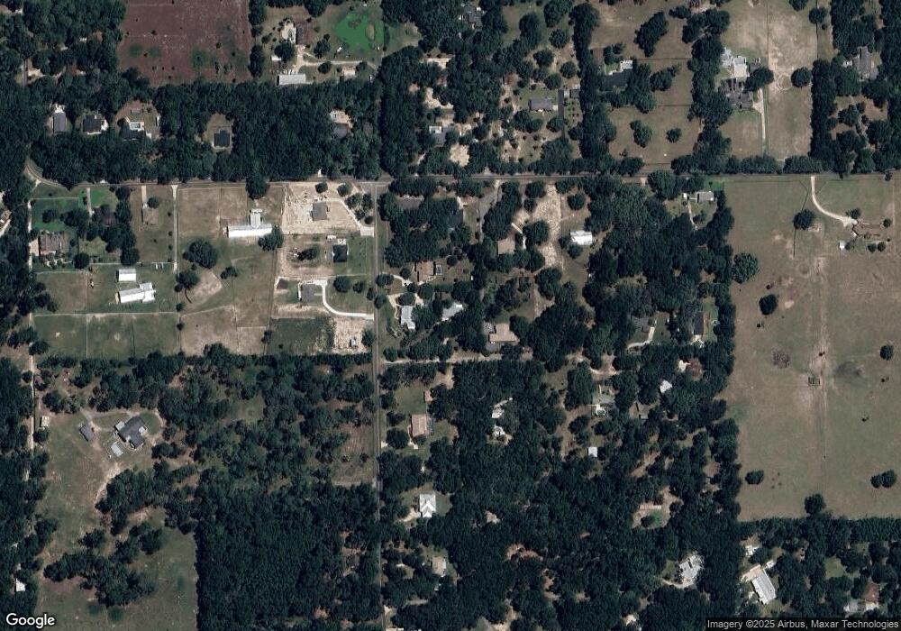
Map
Nearby Homes
- 1555 Mercers Fernery Rd
- 0 Oak Valley Dr
- 1540 Ashley Oaks Dr
- 1285 Bramley Ln
- 1260 Bramley Ln
- 1522 Teddington St
- 1110 Mercers Fernery Rd
- 1460 Glenwood Rd
- 2172 N Spring Garden Ave
- 1221 Bramley Ln
- 1937 N Spring Garden Ave
- 0 Emerald Woods Way
- 1224 Bexley Ct
- 1130 Glenwood Trail
- 903 Honey Petal Ln
- 1149 Glenwood Trail
- 897 Honey Petal Ln
- 975 Rolling Acres Dr
- 887 Asterfield Ln
- 882 Asterfield Ln
- 1981 Hazen Rd
- 1630 Mercers Fernery Rd
- 2095 Hazen Rd
- 1624 Mercers Fernery Rd
- 1634 Mercers Fernery Rd
- 1505 Tolson Rd
- 1979 Hazen Rd
- 1696 Mercers Fernery Rd
- 1980 Hazen Rd
- 2088 Hazen Rd
- 2094 Hazen Rd
- 1576 Mercers Fernery Rd
- 1485 Tolson Rd
- 2098 Hazen Rd
- 1780 Mercers Fernery Rd
- 1780 Mercers Fernery Rd
- 1691 Mercers Fernery Rd
- 1975 Hazen Rd
- 1460 Tolson Rd
- 1530 Mercers Fernery Rd