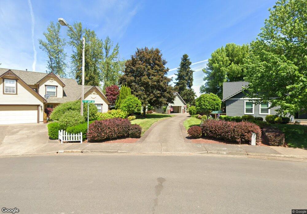
1520 Unity St Junction City, OR 97448
Estimated Value: $483,000 - $506,429
3
Beds
2
Baths
1,787
Sq Ft
$276/Sq Ft
Est. Value
About This Home
This home is located at 1520 Unity St, Junction City, OR 97448 and is currently estimated at $493,607, approximately $276 per square foot. 1520 Unity St is a home located in Lane County with nearby schools including Junction City High School.
Ownership History
Date
Name
Owned For
Owner Type
Purchase Details
Closed on
Mar 2, 2018
Sold by
Cook Richard Martin and Cook Terri L
Bought by
Cook Living Trust and Cook
Current Estimated Value
Purchase Details
Closed on
Mar 1, 2018
Sold by
Cook Richard Martin and Cook Terri L
Bought by
Cook Richard M and Cook Teresa L
Purchase Details
Closed on
May 28, 1999
Sold by
Fisher Billy C and Fisher Paula J
Bought by
Cook Richard Martin and Cook Terri L
Home Financials for this Owner
Home Financials are based on the most recent Mortgage that was taken out on this home.
Original Mortgage
$147,400
Interest Rate
6.84%
Create a Home Valuation Report for This Property
The Home Valuation Report is an in-depth analysis detailing your home's value as well as a comparison with similar homes in the area
Home Values in the Area
Average Home Value in this Area
Purchase History
| Date | Buyer | Sale Price | Title Company |
|---|---|---|---|
| Cook Living Trust | -- | None Listed On Document | |
| Cook Richard M | -- | None Available | |
| Cook Richard Martin | $152,000 | Cascade Title Co |
Source: Public Records
Mortgage History
| Date | Status | Borrower | Loan Amount |
|---|---|---|---|
| Previous Owner | Cook Richard Martin | $147,400 |
Source: Public Records
Tax History Compared to Growth
Tax History
| Year | Tax Paid | Tax Assessment Tax Assessment Total Assessment is a certain percentage of the fair market value that is determined by local assessors to be the total taxable value of land and additions on the property. | Land | Improvement |
|---|---|---|---|---|
| 2024 | $4,643 | $276,574 | -- | -- |
| 2023 | $4,643 | $268,519 | $0 | $0 |
| 2022 | $4,331 | $260,699 | $0 | $0 |
| 2021 | $4,245 | $253,106 | $0 | $0 |
| 2020 | $4,109 | $245,734 | $0 | $0 |
| 2019 | $3,965 | $238,577 | $0 | $0 |
| 2018 | $3,850 | $224,883 | $0 | $0 |
| 2017 | $3,715 | $224,883 | $0 | $0 |
| 2016 | $3,612 | $218,333 | $0 | $0 |
| 2015 | $3,193 | $211,974 | $0 | $0 |
| 2014 | $3,206 | $205,800 | $0 | $0 |
Source: Public Records
Map
Nearby Homes
- 94403 Oaklea Dr
- 1011 Rose St
- 945 W 17th Ave
- 887 Darlington Dr
- 2447 W 13th Ave
- 847 Unity Dr
- 1346 Echo Valley Dr
- 850 Spruce St
- 2313 W 10th Ave
- 2331 W 10th Ave
- 2347 W 10th Ave
- 2363 W 10th Ave
- 2379 W 10th Ave
- 2373 W 10th Ave
- 2384 W 9th Ave
- 2663 W 15th Ave
- 1225 W 10th Ave Unit 53
- 1225 W 10th Ave Unit 50
- 1225 W 10th Ave Unit 28
- 1225 W 10th Ave Unit 26
- 1490 Unity St
- 1440 Unity St
- 1640 W 15th Ave
- 1619 W 15th Ave
- 1676 W 15th Ave
- 1420 Unity St
- 1612 Unity Ct
- 1657 W 15th Ave
- 1694 W 15th Ave
- 1632 Unity Ct
- 0 Unity St Unit Lot 4 10057236
- 0 Unity St Unit Lot 4
- 1687 W 15th Ave
- 1720 W 15th Ave
- 1389 Unity St
- 1389 Unity St
- 1538 W 13th Ave
- 1658 Unity Ct
- 1550 W 13th Ave
- 1524 W 13th Ave