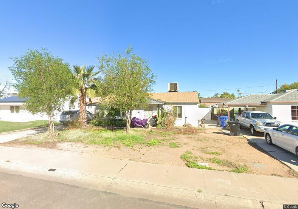
1520 W 1st St Mesa, AZ 85201
West Main NeighborhoodEstimated Value: $325,715 - $448,000
--
Bed
1
Bath
1,866
Sq Ft
$211/Sq Ft
Est. Value
About This Home
This home is located at 1520 W 1st St, Mesa, AZ 85201 and is currently estimated at $394,429, approximately $211 per square foot. 1520 W 1st St is a home located in Maricopa County with nearby schools including Webster Elementary School, Franklin at Brimhall Elementary School, and Franklin West Elementary School.
Ownership History
Date
Name
Owned For
Owner Type
Purchase Details
Closed on
Jan 28, 2024
Sold by
Rhoton Lucille Ann
Bought by
Lucille Ann Rhoton Living Trust and Rhoton
Current Estimated Value
Purchase Details
Closed on
Dec 27, 2018
Sold by
Rhoton Philip Robert and Rhoton Lucille Ann
Bought by
Rhoton Lucille Ann
Purchase Details
Closed on
Dec 17, 2014
Sold by
Rhoton Philip Robert and Rhoton Lucille Ann
Bought by
Our Retirement Llc
Purchase Details
Closed on
May 2, 2013
Sold by
Rhoton Philip Robert and Rhoton Lucille Ann
Bought by
Rhoton Philip Robert and Rhoton Lucille Ann
Home Financials for this Owner
Home Financials are based on the most recent Mortgage that was taken out on this home.
Original Mortgage
$58,857
Interest Rate
3.48%
Mortgage Type
New Conventional
Create a Home Valuation Report for This Property
The Home Valuation Report is an in-depth analysis detailing your home's value as well as a comparison with similar homes in the area
Home Values in the Area
Average Home Value in this Area
Purchase History
| Date | Buyer | Sale Price | Title Company |
|---|---|---|---|
| Lucille Ann Rhoton Living Trust | -- | None Listed On Document | |
| Rhoton Lucille Ann | -- | None Available | |
| Our Retirement Llc | -- | None Available | |
| Rhoton Philip Robert | -- | First American Title Ins Co |
Source: Public Records
Mortgage History
| Date | Status | Borrower | Loan Amount |
|---|---|---|---|
| Previous Owner | Rhoton Philip Robert | $58,857 |
Source: Public Records
Tax History Compared to Growth
Tax History
| Year | Tax Paid | Tax Assessment Tax Assessment Total Assessment is a certain percentage of the fair market value that is determined by local assessors to be the total taxable value of land and additions on the property. | Land | Improvement |
|---|---|---|---|---|
| 2025 | $1,419 | $17,081 | -- | -- |
| 2024 | $1,434 | $16,268 | -- | -- |
| 2023 | $1,434 | $29,870 | $5,970 | $23,900 |
| 2022 | $1,403 | $23,230 | $4,640 | $18,590 |
| 2021 | $1,441 | $18,970 | $3,790 | $15,180 |
| 2020 | $1,422 | $18,850 | $3,770 | $15,080 |
| 2019 | $537 | $14,410 | $2,880 | $11,530 |
| 2018 | $512 | $14,000 | $2,800 | $11,200 |
| 2017 | $496 | $11,070 | $2,210 | $8,860 |
| 2016 | $487 | $9,020 | $1,800 | $7,220 |
| 2015 | $460 | $7,930 | $1,580 | $6,350 |
Source: Public Records
Map
Nearby Homes
- 225 N Standage Unit 146
- 225 N Standage Unit 89
- 238 N Standage
- 116 N Jade Cir
- 1716 W Main St
- 1728 W Bentley St
- 1462 W University Dr
- 416 N Ash
- 1134 W 2nd St
- 236 S Alma School Rd
- 1431 W 5th Place
- 301 N Ironwood
- 510 N Alma School Rd Unit 223
- 510 N Alma School Rd Unit 159
- 510 N Alma School Rd Unit 257
- 510 N Alma School Rd Unit 145
- 510 N Alma School Rd Unit 141
- 510 N Alma School Rd Unit 174
- 2030 W 1st St
- 544 N Alma School Rd Unit 28