Estimated Value: $547,000 - $614,000
3
Beds
2
Baths
1,851
Sq Ft
$317/Sq Ft
Est. Value
About This Home
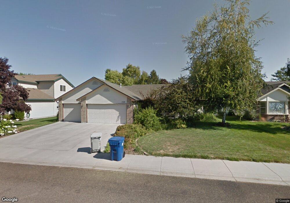
This home is located at 1520 W Kenai Ct, Eagle, ID 83616 and is currently estimated at $586,003, approximately $316 per square foot. 1520 W Kenai Ct is a home located in Ada County with nearby schools including Eagle Middle School, Eagle High School, and Eagle Adventist Christian School & Preschool.
Ownership History
Date
Name
Owned For
Owner Type
Purchase Details
Closed on
Jul 28, 2017
Sold by
Stackpole Joseph B
Bought by
Hicks Patricia Anne and The Clayne & Pat Hicks Family Trust
Current Estimated Value
Purchase Details
Closed on
May 18, 1999
Sold by
Labrum Duane L and Labrum Laura L
Bought by
Lloyd Daniel B and Lloyd Lynette R
Home Financials for this Owner
Home Financials are based on the most recent Mortgage that was taken out on this home.
Original Mortgage
$117,520
Interest Rate
6.92%
Mortgage Type
Purchase Money Mortgage
Create a Home Valuation Report for This Property
The Home Valuation Report is an in-depth analysis detailing your home's value as well as a comparison with similar homes in the area
Home Values in the Area
Average Home Value in this Area
Purchase History
| Date | Buyer | Sale Price | Title Company |
|---|---|---|---|
| Hicks Patricia Anne | -- | Stewart Title | |
| Lloyd Daniel B | -- | Pioneer Title Company |
Source: Public Records
Mortgage History
| Date | Status | Borrower | Loan Amount |
|---|---|---|---|
| Previous Owner | Lloyd Daniel B | $117,520 |
Source: Public Records
Tax History Compared to Growth
Tax History
| Year | Tax Paid | Tax Assessment Tax Assessment Total Assessment is a certain percentage of the fair market value that is determined by local assessors to be the total taxable value of land and additions on the property. | Land | Improvement |
|---|---|---|---|---|
| 2025 | $1,499 | $538,000 | -- | -- |
| 2024 | $399 | $485,900 | -- | -- |
| 2023 | $1,542 | $461,900 | $0 | $0 |
| 2022 | $1,450 | $574,100 | $0 | $0 |
| 2021 | $1,310 | $424,900 | $0 | $0 |
| 2020 | $1,912 | $342,100 | $0 | $0 |
| 2019 | $1,967 | $303,900 | $0 | $0 |
| 2018 | $1,856 | $278,900 | $0 | $0 |
| 2017 | $1,635 | $249,000 | $0 | $0 |
| 2016 | $1,438 | $219,800 | $0 | $0 |
| 2015 | $1,114 | $208,200 | $0 | $0 |
| 2012 | -- | $138,500 | $0 | $0 |
Source: Public Records
Map
Nearby Homes
- 1492 W Kenai Ct
- 1563 W Colville Ct
- 28 S Riverview St
- Selway Plan at Benari Estates - Benari
- Danskin Plan at Benari Estates - Benari
- Bannock Plan at Benari Estates - Benari
- Clearwater Plan at Benari Estates - Benari
- 1893 W Timberstone Dr
- 251 N Boulder Ridge Way
- 252 N Hunter Creek Ave
- 270 N Hunter Creek Ave
- 313 N Boulder Ridge Way
- 249 N Hunter Creek Ave
- 62 S Stephenson St
- 2050 W Freya Ct
- 2046 W Freya Ct
- 2017 W Freya Ct
- 2042 W Freya Ct
- 2021 W Freya Ct
- 2013 W Freya Ct
- 1548 W Kenai Ct
- 1493 W Colville Ct
- 1492 W
- 1479 W Colville Ct
- 1507 W Colville Ct
- 1464 W Kenai Ct
- 1519 W Kenai Ct
- 1547 W Kenai Ct
- 1491 W Kenai Ct
- 1465 W Colville Ct
- 1576 W Kenai Ct
- 1575 W Kenai Ct
- 1521 W Colville Ct
- 1463 W Kenai Ct
- 121 S Payette Place
- 1422 W Kenai Ct
- 1486 W Colville Ct
- 275 S Payette Place
- 1423 W Colville Ct