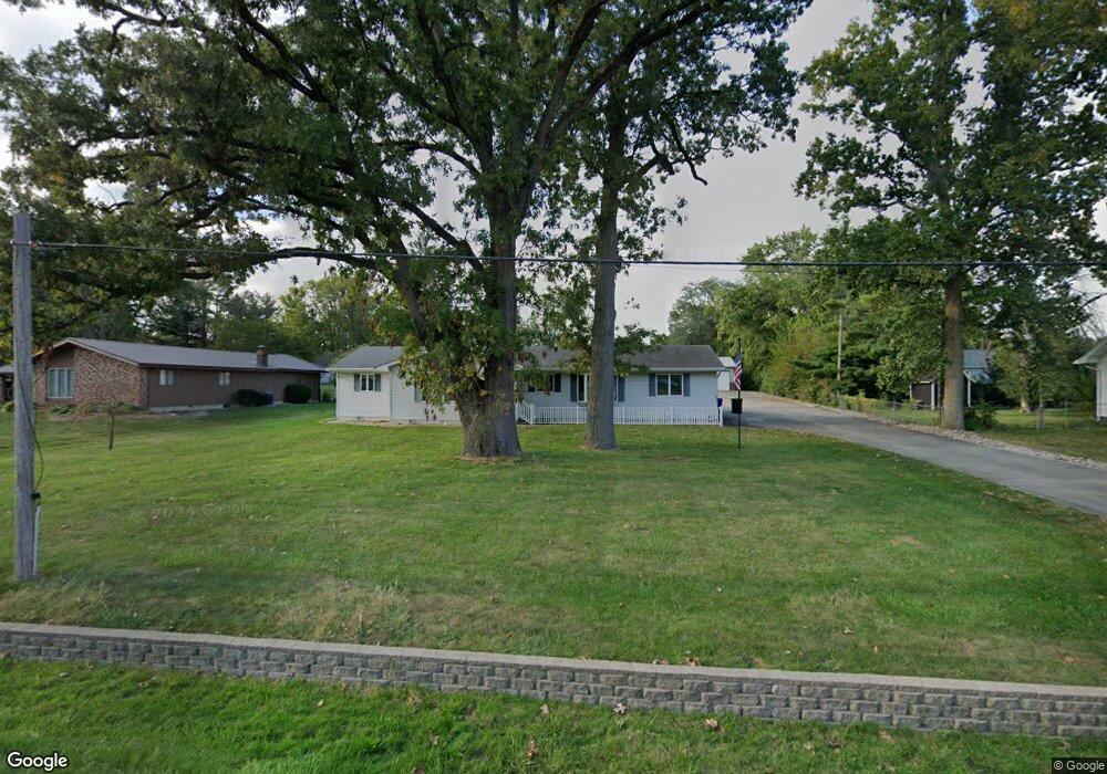
1520 W Rock Springs Rd Decatur, IL 62521
Enterprise NeighborhoodEstimated Value: $144,000 - $204,152
3
Beds
2
Baths
2,069
Sq Ft
$88/Sq Ft
Est. Value
About This Home
This home is located at 1520 W Rock Springs Rd, Decatur, IL 62521 and is currently estimated at $181,788, approximately $87 per square foot. 1520 W Rock Springs Rd is a home located in Macon County with nearby schools including South Shores Elementary School, Stephen Decatur Middle School, and Maranatha Christian Academy.
Ownership History
Date
Name
Owned For
Owner Type
Purchase Details
Closed on
Nov 19, 2010
Sold by
Pryczynski Shirley I
Bought by
Rosenbury Larry E and Rosenbury Barbara M
Current Estimated Value
Home Financials for this Owner
Home Financials are based on the most recent Mortgage that was taken out on this home.
Original Mortgage
$102,000
Outstanding Balance
$67,298
Interest Rate
4.27%
Mortgage Type
New Conventional
Estimated Equity
$114,490
Create a Home Valuation Report for This Property
The Home Valuation Report is an in-depth analysis detailing your home's value as well as a comparison with similar homes in the area
Home Values in the Area
Average Home Value in this Area
Purchase History
| Date | Buyer | Sale Price | Title Company |
|---|---|---|---|
| Rosenbury Larry E | $1,620,000 | None Available |
Source: Public Records
Mortgage History
| Date | Status | Borrower | Loan Amount |
|---|---|---|---|
| Open | Rosenbury Larry E | $102,000 |
Source: Public Records
Tax History Compared to Growth
Tax History
| Year | Tax Paid | Tax Assessment Tax Assessment Total Assessment is a certain percentage of the fair market value that is determined by local assessors to be the total taxable value of land and additions on the property. | Land | Improvement |
|---|---|---|---|---|
| 2024 | $3,296 | $62,294 | $7,430 | $54,864 |
| 2023 | $3,388 | $60,089 | $7,167 | $52,922 |
| 2022 | $3,482 | $52,049 | $5,825 | $46,224 |
| 2021 | $3,503 | $48,609 | $5,440 | $43,169 |
| 2020 | $3,620 | $45,046 | $3,881 | $41,165 |
| 2019 | $3,620 | $45,046 | $3,881 | $41,165 |
| 2018 | $3,585 | $45,119 | $3,818 | $41,301 |
| 2017 | $3,700 | $46,323 | $3,920 | $42,403 |
| 2016 | $3,782 | $46,796 | $3,960 | $42,836 |
| 2015 | $3,574 | $45,969 | $3,890 | $42,079 |
| 2014 | $3,780 | $50,433 | $2,846 | $47,587 |
| 2013 | $3,945 | $52,327 | $2,953 | $49,374 |
Source: Public Records
Map
Nearby Homes
- 1740 S Fairview Ave
- 1739 Moorwood Dr
- 15 Calumet Rd
- 2207 Forest Crest Dr
- 2705 S Taylor Rd
- 2529 W Alice Ln
- 4220 S Lake Ct
- 1677 W Sunset Ave
- 134 Madison Dr
- 636 S Sycamore St
- 51 Medial Dr
- 2970 Olympia Dr
- 344 W Imboden Dr
- 1391 W Decatur St
- 365 S Taylor Ave
- 2704 Brookville Place
- 1527 W Macon St
- 353 S Linden Ave
- 650 S Crea St
- 1833 Burning Tree Dr
- 1510 W Rock Springs Rd
- 1510 W Rock Springs Rd
- 1530 W Rock Springs Rd
- 1510ý W Rock Springs Rd
- 1506 W Rock Springs Rd
- 1555 W Rock Springs Rd
- 1905 S Taylor Rd
- 2031 S Taylor Rd
- 1840 S Taylorville Rd
- 1903 S Taylor Rd
- 2059 S Taylor Rd
- 2043 S Taylor Rd
- 1460 W Rock Springs Rd
- 1450 W Rock Springs Rd
- 1930 S Taylorville Rd
- 1910 S Taylorville Rd
- 1465 W Semor Dr
- 1465 W Semor Dr
- 1811 S Taylor Rd
- 1455 W Semor Dr