15200 Black Ankle Rd Mount Airy, MD 21771
Estimated Value: $631,576 - $694,000
--
Bed
1
Bath
2,296
Sq Ft
$285/Sq Ft
Est. Value
About This Home
This home is located at 15200 Black Ankle Rd, Mount Airy, MD 21771 and is currently estimated at $654,525, approximately $285 per square foot. 15200 Black Ankle Rd is a home located in Frederick County with nearby schools including Twin Ridge Elementary School, Windsor Knolls Middle School, and Linganore High School.
Ownership History
Date
Name
Owned For
Owner Type
Purchase Details
Closed on
Oct 5, 2015
Sold by
Oliver Homes Inc
Bought by
Garnes Chad E and Garnes Maria A
Current Estimated Value
Home Financials for this Owner
Home Financials are based on the most recent Mortgage that was taken out on this home.
Original Mortgage
$375,000
Outstanding Balance
$295,046
Interest Rate
3.88%
Mortgage Type
New Conventional
Estimated Equity
$359,479
Purchase Details
Closed on
Feb 13, 2015
Sold by
Snow Caroline and Snow Kem E
Bought by
Oliver Homes Inc
Purchase Details
Closed on
Apr 5, 2001
Sold by
Hockenbery Roland L
Bought by
Snow Kem E and Snow Caroline
Purchase Details
Closed on
Sep 29, 1993
Sold by
Hockenberry R
Bought by
Poe Ralph E
Home Financials for this Owner
Home Financials are based on the most recent Mortgage that was taken out on this home.
Original Mortgage
$61,250
Interest Rate
7%
Create a Home Valuation Report for This Property
The Home Valuation Report is an in-depth analysis detailing your home's value as well as a comparison with similar homes in the area
Home Values in the Area
Average Home Value in this Area
Purchase History
| Date | Buyer | Sale Price | Title Company |
|---|---|---|---|
| Garnes Chad E | $375,000 | Commonwealth Land Title Ins | |
| Oliver Homes Inc | $67,500 | Commonwealth Land Title Insu | |
| Snow Kem E | $115,000 | -- | |
| Poe Ralph E | $83,250 | -- |
Source: Public Records
Mortgage History
| Date | Status | Borrower | Loan Amount |
|---|---|---|---|
| Open | Garnes Chad E | $375,000 | |
| Previous Owner | Poe Ralph E | $61,250 |
Source: Public Records
Tax History Compared to Growth
Tax History
| Year | Tax Paid | Tax Assessment Tax Assessment Total Assessment is a certain percentage of the fair market value that is determined by local assessors to be the total taxable value of land and additions on the property. | Land | Improvement |
|---|---|---|---|---|
| 2025 | $5,406 | $458,300 | $158,200 | $300,100 |
| 2024 | $5,406 | $434,233 | $0 | $0 |
| 2023 | $4,912 | $410,167 | $0 | $0 |
| 2022 | $4,673 | $386,100 | $117,700 | $268,400 |
| 2021 | $4,589 | $382,400 | $0 | $0 |
| 2020 | $4,546 | $378,700 | $0 | $0 |
| 2019 | $165 | $375,000 | $108,700 | $266,300 |
| 2018 | $166 | $375,000 | $108,700 | $266,300 |
| 2017 | $125 | $375,000 | $0 | $0 |
| 2016 | $45 | $392,500 | $0 | $0 |
| 2015 | $45 | $67,500 | $0 | $0 |
| 2014 | $45 | $800 | $0 | $0 |
Source: Public Records
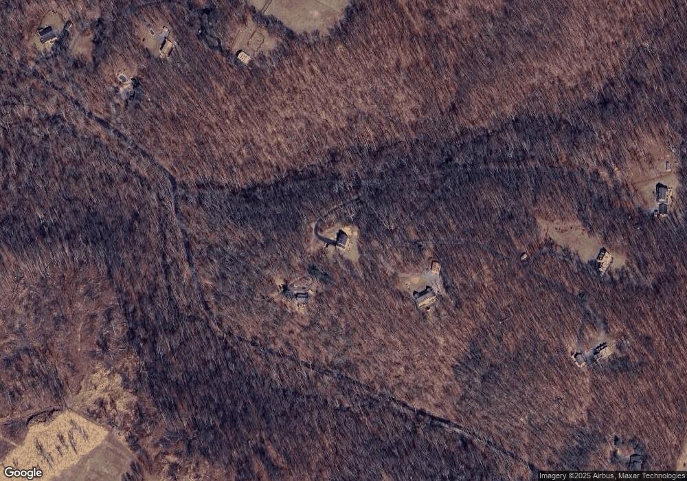
Map
Nearby Homes
- 4417 Buffalo Rd
- 7309 Talbot Run Rd
- 3816 A Jim Smith Ln
- 3870 Roop Rd
- 2990 Honeywood Dr
- 3720 Buffalo Rd
- 4828 Ridge Rd
- 5307 Pommel Dr
- 5345 Pommel Dr
- 2815 Gillis Rd
- 4950 Crocus Rd
- 15602 Wildrose Ct
- 4328 Ridge Rd Unit 13
- 5134 Perry Rd
- 2613 Liberty Rd
- 7407 Woodville Rd
- 0 Cabbage Spring Rd
- 3204 Hooper Rd
- 3008 Arapaho Ct
- 2210 Skylark Dr
- 15370 Black Ankle Rd
- 15204 Black Ankle Rd
- 15130 Black Ankle Rd
- 15116 Black Ankle Rd
- 15212 Black Ankle Rd
- 15120 Black Ankle Rd
- 15208 Black Ankle Rd
- 15361 Black Ankle Rd
- 15216 Black Ankle Rd
- 15110 Black Ankle Rd
- 15365 Black Ankle Rd
- 15106 Black Ankle Rd
- 4640 Buffalo Rd
- 15351 Liberty Rd
- 4630 Buffalo Rd
- 0 Buffalo Rd Unit FR8242695
- 4840 Buffalo Rd
- 4650 Buffalo Rd
- 4660 Buffalo Rd
- 4500 Buffalo Rd