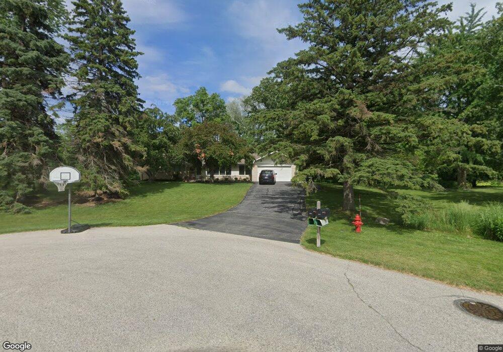
15200 Merrie Cir Brookfield, WI 53005
Estimated Value: $489,339 - $512,000
4
Beds
2
Baths
1,808
Sq Ft
$276/Sq Ft
Est. Value
About This Home
This home is located at 15200 Merrie Cir, Brookfield, WI 53005 and is currently estimated at $499,335, approximately $276 per square foot. 15200 Merrie Cir is a home located in Waukesha County with nearby schools including Dixon Elementary School, Pilgrim Park Middle School, and Brookfield East High School.
Ownership History
Date
Name
Owned For
Owner Type
Purchase Details
Closed on
Dec 5, 2019
Sold by
Henderson Lawrence B and Henderson Norma L
Bought by
Henderson Lawrence B and Henderson Norma
Current Estimated Value
Create a Home Valuation Report for This Property
The Home Valuation Report is an in-depth analysis detailing your home's value as well as a comparison with similar homes in the area
Home Values in the Area
Average Home Value in this Area
Purchase History
| Date | Buyer | Sale Price | Title Company |
|---|---|---|---|
| Henderson Lawrence B | -- | None Available | |
| Henderson Lawrence B | -- | None Available |
Source: Public Records
Tax History Compared to Growth
Tax History
| Year | Tax Paid | Tax Assessment Tax Assessment Total Assessment is a certain percentage of the fair market value that is determined by local assessors to be the total taxable value of land and additions on the property. | Land | Improvement |
|---|---|---|---|---|
| 2024 | $4,128 | $375,000 | $133,800 | $241,200 |
| 2023 | $4,123 | $375,000 | $133,800 | $241,200 |
| 2022 | $3,955 | $282,200 | $128,400 | $153,800 |
| 2021 | $4,961 | $282,200 | $128,400 | $153,800 |
| 2020 | $5,214 | $282,200 | $128,400 | $153,800 |
| 2019 | $5,085 | $282,200 | $128,400 | $153,800 |
| 2018 | $4,887 | $258,300 | $120,000 | $138,300 |
| 2017 | $4,622 | $258,300 | $120,000 | $138,300 |
| 2016 | $5,060 | $258,300 | $120,000 | $138,300 |
| 2015 | $5,093 | $258,300 | $120,000 | $138,300 |
| 2014 | $4,158 | $258,300 | $120,000 | $138,300 |
| 2013 | $4,158 | $258,300 | $120,000 | $138,300 |
Source: Public Records
Map
Nearby Homes
- 15300 Fieldstone Dr
- 15260 Marilyn Dr
- 15555 Esser Ct
- 2455 Mound Zion Woods Ct
- 2415 Walnut Grove Ct Unit B
- 2600 Brookside Ln
- 14910 Pomona Rd
- 2925 San Gabriel Dr
- 14625 Club Dr
- 15170 Gebhardt Rd
- 14225 Forest View Ln
- 1955 Melody Ln
- 1820 Melody Ln
- 15305 Cascade Dr
- 3085 Santa Barbara Dr
- 3025 Smith Dr
- 16570 W North Ave
- 2040 San Fernando Dr
- 3185 San Marcos Dr
- 15800 Sky Cliff Dr
- 15220 Merrie Cir
- 15205 Fieldstone Dr
- 15205 Merrie Cir
- 2445 Rockway Ln W
- 15225 Fieldstone Dr
- 2425 Rockway Ln W
- 15225 Merrie Cir
- 2440 Kevenauer Dr
- 15255 Fieldstone Dr
- 2405 Rockway Ln W
- 15115 Fieldstone Dr
- 2400 Kevenauer Dr
- 15200 Fieldstone Dr
- 15250 Fieldstone Dr
- 2385 Rockway Ln W
- 2340 Kevenauer Dr
- 2505 Rockway Ln W
- 2380 Kevenauer Dr
- 2450 Rockway Ln W
- 2330 Kevenauer Dr