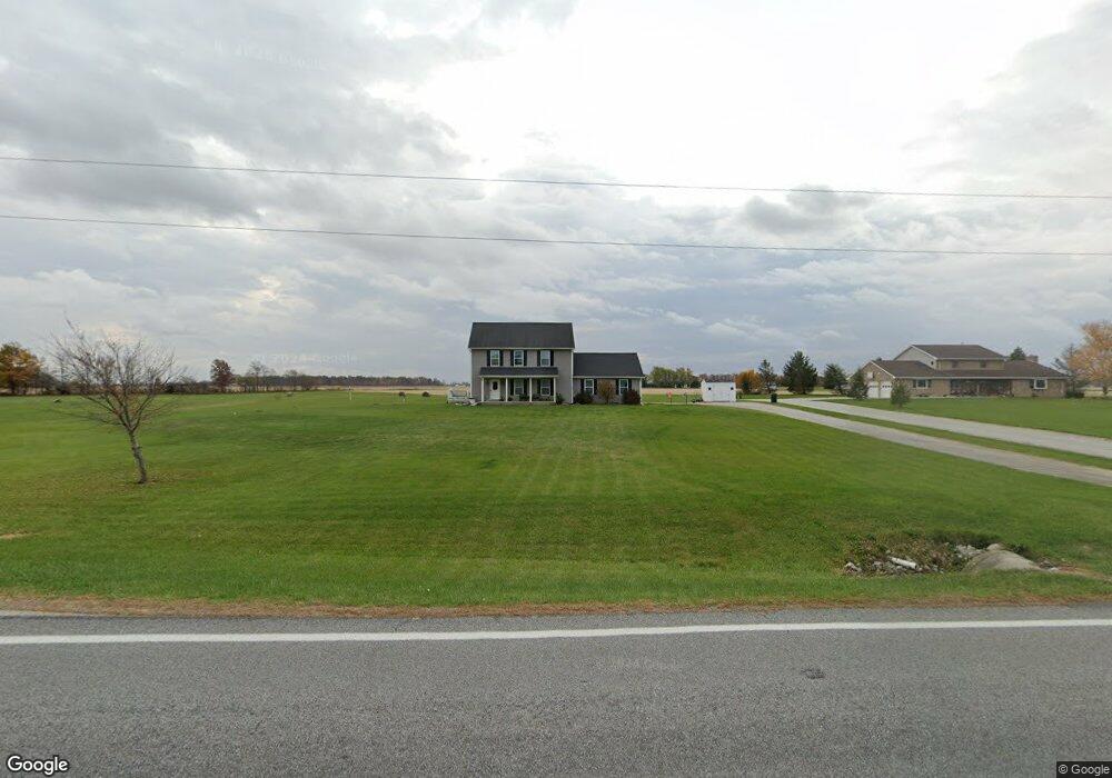
15200 State Route 67 Wapakoneta, OH 45895
Estimated Value: $305,000 - $528,000
4
Beds
3
Baths
2,156
Sq Ft
$198/Sq Ft
Est. Value
About This Home
This home is located at 15200 State Route 67, Wapakoneta, OH 45895 and is currently estimated at $426,137, approximately $197 per square foot. 15200 State Route 67 is a home with nearby schools including Wapakoneta Elementary School, Wapakoneta High School, and Wapakoneta Middle School.
Create a Home Valuation Report for This Property
The Home Valuation Report is an in-depth analysis detailing your home's value as well as a comparison with similar homes in the area
Home Values in the Area
Average Home Value in this Area
Tax History Compared to Growth
Tax History
| Year | Tax Paid | Tax Assessment Tax Assessment Total Assessment is a certain percentage of the fair market value that is determined by local assessors to be the total taxable value of land and additions on the property. | Land | Improvement |
|---|---|---|---|---|
| 2024 | $6,147 | $123,560 | $12,680 | $110,880 |
| 2023 | $4,204 | $123,560 | $12,680 | $110,880 |
| 2022 | $3,056 | $83,230 | $10,560 | $72,670 |
| 2021 | $3,057 | $83,230 | $10,560 | $72,670 |
| 2020 | $1,543 | $83,237 | $10,563 | $72,674 |
| 2019 | $2,609 | $68,229 | $8,659 | $59,570 |
| 2018 | $2,617 | $68,229 | $8,659 | $59,570 |
| 2017 | $2,604 | $68,229 | $8,659 | $59,570 |
| 2016 | $2,357 | $62,041 | $8,246 | $53,795 |
| 2015 | $2,355 | $62,041 | $8,246 | $53,795 |
| 2014 | $1,803 | $47,618 | $8,246 | $39,372 |
Source: Public Records
Map
Nearby Homes
- 15194 Ohio 67
- 15194 State Route 67
- 15286 State Route 67
- 15257 State Route 67
- 15271 State Route 67
- 15271 Ohio 67
- 15223 State Route 67
- 15187 State Route 67
- 15348 State Route 67
- 15115 State Route 67
- 15388 State Route 67
- 15377 State Route 67
- 15398 State Route 67
- 15316 Blank Pike
- 15560 Blackhoof Creek Rd
- 15468 Ohio 67
- 15468 State Route 67
- 0 Sr 67