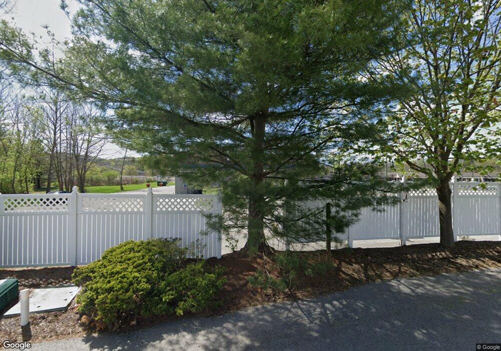
1521 Akron Peninsula Rd Akron, OH 44313
Merriman Valley Neighborhood
--
Bed
--
Bath
5,000
Sq Ft
1.06
Acres
About This Home
This home is located at 1521 Akron Peninsula Rd, Akron, OH 44313. 1521 Akron Peninsula Rd is a home located in Summit County with nearby schools including Woodridge Middle School, Woodridge High School, and Immaculate Heart Of Mary School.
Ownership History
Date
Name
Owned For
Owner Type
Purchase Details
Closed on
Dec 22, 2016
Sold by
Econimic Development Solution Llc
Bought by
1521 Ap Llc
Purchase Details
Closed on
Apr 7, 2016
Sold by
1521 Akron Penn Ltd
Bought by
Economic Development Solutions Llc
Purchase Details
Closed on
Aug 1, 2013
Sold by
1521 Akron Penn Ltd
Bought by
Economic Development Solutions Llc
Purchase Details
Closed on
Mar 27, 2013
Sold by
Sharak Michael A and Sharak Donna
Bought by
1521 Akron Penn Ltd
Purchase Details
Closed on
Nov 2, 2001
Sold by
D & M Velvet Touch Inc
Bought by
Sharak Michael A and Sharak Donna
Purchase Details
Closed on
Dec 23, 1996
Sold by
Mary Coletta Trst
Bought by
D & M Velvet Touch Inc
Home Financials for this Owner
Home Financials are based on the most recent Mortgage that was taken out on this home.
Original Mortgage
$250,000
Interest Rate
7.74%
Mortgage Type
Commercial
Create a Home Valuation Report for This Property
The Home Valuation Report is an in-depth analysis detailing your home's value as well as a comparison with similar homes in the area
Home Values in the Area
Average Home Value in this Area
Purchase History
| Date | Buyer | Sale Price | Title Company |
|---|---|---|---|
| 1521 Ap Llc | $500,000 | Everest Land Title Agency Lt | |
| Economic Development Solutions Llc | -- | None Available | |
| Economic Development Solutions Llc | -- | Everest Land Title | |
| 1521 Akron Penn Ltd | $227,950 | None Available | |
| Sharak Michael A | -- | -- | |
| D & M Velvet Touch Inc | $300,000 | -- |
Source: Public Records
Mortgage History
| Date | Status | Borrower | Loan Amount |
|---|---|---|---|
| Previous Owner | D & M Velvet Touch Inc | $250,000 |
Source: Public Records
Tax History Compared to Growth
Tax History
| Year | Tax Paid | Tax Assessment Tax Assessment Total Assessment is a certain percentage of the fair market value that is determined by local assessors to be the total taxable value of land and additions on the property. | Land | Improvement |
|---|---|---|---|---|
| 2025 | $12,941 | $174,101 | $20,405 | $153,696 |
| 2024 | $12,941 | $174,101 | $20,405 | $153,696 |
| 2023 | $12,941 | $174,101 | $20,405 | $153,696 |
| 2022 | $14,080 | $174,101 | $20,405 | $153,696 |
| 2021 | $14,180 | $174,101 | $20,405 | $153,696 |
| 2020 | $14,012 | $174,110 | $20,410 | $153,700 |
| 2019 | $15,084 | $174,480 | $19,390 | $155,090 |
| 2018 | $15,389 | $174,480 | $19,390 | $155,090 |
| 2017 | $5,104 | $174,480 | $19,390 | $155,090 |
| 2016 | $5,084 | $52,630 | $20,410 | $32,220 |
| 2015 | $5,104 | $52,630 | $20,410 | $32,220 |
| 2014 | $4,917 | $52,630 | $20,410 | $32,220 |
| 2013 | $4,741 | $49,510 | $17,350 | $32,160 |
Source: Public Records
Map
Nearby Homes
- 1484 Waters Edge Dr Unit 2A
- 1389 Waters Edge Dr Unit 26A
- 1289 Barcelona Dr
- 1087 Ellsworth Dr
- 1561 Treetop Trail Unit B
- 1122 Bean Ln
- 1123 Bean Ln
- 896 Whitepine Dr Unit C
- 1609 Treetop Trail Unit 39
- 890 Whitepine Dr Unit A
- 1722 Treetop Trail Unit 15
- 1047 Terrell Dr
- 1058 Middlecoff Dr
- 1057 Kevin Dr
- 1047 Kevin Dr
- 1526 Hilton Dr
- 1029 Karen Dr
- 1057 N Portage Path
- 1284 Divot Cir Unit S/L 13
- 1423 Shanabrook Dr
- 1514 Waters Edge Dr Unit 6C
- 1512 Waters Edge Dr Unit 6B
- 1327 Waters Edge Dr Unit 5B
- 1327 Waters Edge Dr Unit B
- 1510 Waters Edge Dr Unit 6A
- 1325 Waters Edge Dr Unit 5A
- 1331 Waters Edge Dr Unit 4A
- 1331 Waters Edge Dr Unit A
- 1511 Waters Edge Dr Unit 7A
- 1333 Waters Edge Dr Unit 4B
- 1335 Waters Edge Dr Unit 4C
- 1335 Waters Edge Dr Unit C
- 1504 Waters Edge Dr Unit 1B
- 1504 Waters Edge Dr
- 1502 Waters Edge Dr Unit 1A
- 1502 Waters Edge Dr
- 1167 Wild Brook Dr Unit 3
- 1562 Akron Peninsula Rd
- 1506 Waters Edge Dr Unit 1C
- 1488 Waters Edge Dr Unit 2C
