1521 Cloverhill Rd Pottstown, PA 19464
Estimated Value: $471,018 - $496,000
4
Beds
3
Baths
2,157
Sq Ft
$225/Sq Ft
Est. Value
About This Home
This home is located at 1521 Cloverhill Rd, Pottstown, PA 19464 and is currently estimated at $485,255, approximately $224 per square foot. 1521 Cloverhill Rd is a home located in Montgomery County with nearby schools including Lower Pottsgrove Elementary School, Pottsgrove Middle School, and Pottsgrove Senior High School.
Ownership History
Date
Name
Owned For
Owner Type
Purchase Details
Closed on
May 27, 2004
Sold by
Rouse Chamberlin Ltd
Bought by
Wescoat Scott G and Wescoat Shannon L
Current Estimated Value
Home Financials for this Owner
Home Financials are based on the most recent Mortgage that was taken out on this home.
Original Mortgage
$211,800
Outstanding Balance
$103,466
Interest Rate
5.99%
Estimated Equity
$381,789
Create a Home Valuation Report for This Property
The Home Valuation Report is an in-depth analysis detailing your home's value as well as a comparison with similar homes in the area
Home Values in the Area
Average Home Value in this Area
Purchase History
| Date | Buyer | Sale Price | Title Company |
|---|---|---|---|
| Wescoat Scott G | $264,795 | -- |
Source: Public Records
Mortgage History
| Date | Status | Borrower | Loan Amount |
|---|---|---|---|
| Open | Wescoat Scott G | $211,800 |
Source: Public Records
Tax History Compared to Growth
Tax History
| Year | Tax Paid | Tax Assessment Tax Assessment Total Assessment is a certain percentage of the fair market value that is determined by local assessors to be the total taxable value of land and additions on the property. | Land | Improvement |
|---|---|---|---|---|
| 2025 | $6,988 | $142,500 | -- | -- |
| 2024 | $6,988 | $142,500 | -- | -- |
| 2023 | $6,771 | $142,500 | $0 | $0 |
| 2022 | $6,668 | $142,500 | $0 | $0 |
| 2021 | $6,573 | $142,500 | $0 | $0 |
| 2020 | $6,548 | $142,500 | $0 | $0 |
| 2019 | $6,514 | $142,500 | $0 | $0 |
| 2018 | $1,346 | $171,480 | $54,050 | $117,430 |
| 2017 | $7,865 | $171,480 | $54,050 | $117,430 |
| 2016 | $7,798 | $171,480 | $54,050 | $117,430 |
| 2015 | $7,620 | $171,480 | $54,050 | $117,430 |
| 2014 | $7,620 | $171,480 | $54,050 | $117,430 |
Source: Public Records
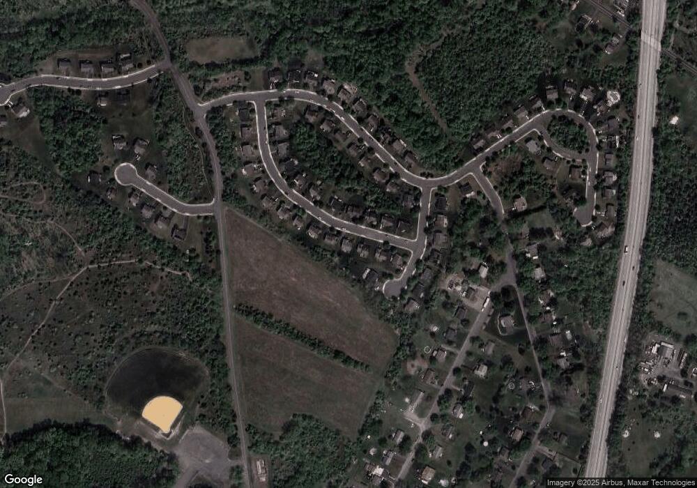
Map
Nearby Homes
- 126 Pine Ford Rd Unit 65
- 1445 Farmington Ave
- 1406 N State St
- 318 Haven Dr
- Laurel Plan at Pottsgrove Hunt - 55+
- NEUVILLE Plan at Pottsgrove Hunt - 55+
- Lismore Plan at Pottsgrove Hunt - 55+
- 278 Haven Dr
- 284 Haven Dr
- 290 Haven Dr
- 296 Haven Dr
- 104 Maugers Mill Rd
- 302 Haven Dr
- 157 Forage Cir
- 314 Haven Dr
- 1100 Levengood Rd
- 1440 Farmington Ave Unit 11
- 108 Maugers Mill Rd
- 1506 Aspen Dr
- 67 Steinmetz Rd
- 1523 Cloverhill Rd
- 1519 Cloverhill Rd
- 1611 Applegate Ln
- 1525 Cloverhill Rd
- 1517 Cloverhill Rd
- 1514 Cloverhill Rd
- 1516 Cloverhill Rd
- 1512 Cloverhill Rd
- 1518 Cloverhill Rd
- 1609 Applegate Ln
- 1515 Cloverhill Rd
- 1520 Cloverhill Rd
- 1510 Cloverhill Rd
- 1513 Cloverhill Rd
- 1019 Fallbrook Ln
- 1017 Fallbrook Ln
- 1601 Applegate Ln
- 1508 Cloverhill Rd
- 1610 Applegate Ln
- 1608 Applegate Ln