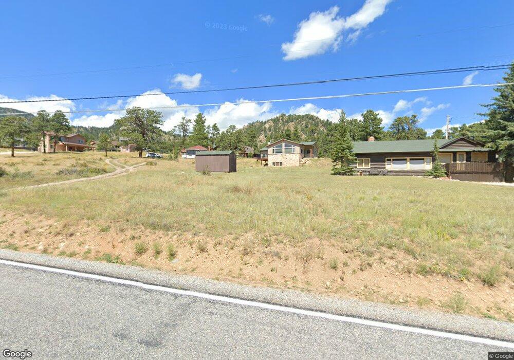
1521 High Dr Estes Park, CO 80517
Estimated Value: $509,044 - $666,000
1
Bed
1
Bath
1,073
Sq Ft
$530/Sq Ft
Est. Value
About This Home
This home is located at 1521 High Dr, Estes Park, CO 80517 and is currently estimated at $568,261, approximately $529 per square foot. 1521 High Dr is a home located in Larimer County with nearby schools including Estes Park K-5 School, Estes Park Options School, and Estes Park Middle School.
Ownership History
Date
Name
Owned For
Owner Type
Purchase Details
Closed on
Jul 11, 2006
Sold by
Everitt Ann
Bought by
Wallace Pamela M and Wallace Timothy P
Current Estimated Value
Home Financials for this Owner
Home Financials are based on the most recent Mortgage that was taken out on this home.
Original Mortgage
$31,050
Interest Rate
6.67%
Mortgage Type
Purchase Money Mortgage
Purchase Details
Closed on
Nov 11, 2003
Sold by
Burns Robert D and Burns Carol J
Bought by
Everitt Ann
Purchase Details
Closed on
Aug 24, 1998
Sold by
Bates Wayne E
Bought by
Burns Robert D and Burns Carol J
Home Financials for this Owner
Home Financials are based on the most recent Mortgage that was taken out on this home.
Original Mortgage
$105,000
Interest Rate
6.9%
Mortgage Type
Seller Take Back
Create a Home Valuation Report for This Property
The Home Valuation Report is an in-depth analysis detailing your home's value as well as a comparison with similar homes in the area
Home Values in the Area
Average Home Value in this Area
Purchase History
| Date | Buyer | Sale Price | Title Company |
|---|---|---|---|
| Wallace Pamela M | $311,000 | Security Title | |
| Everitt Ann | $245,500 | -- | |
| Burns Robert D | $175,000 | -- |
Source: Public Records
Mortgage History
| Date | Status | Borrower | Loan Amount |
|---|---|---|---|
| Closed | Wallace Pamela M | $31,050 | |
| Previous Owner | Burns Robert D | $105,000 |
Source: Public Records
Tax History Compared to Growth
Tax History
| Year | Tax Paid | Tax Assessment Tax Assessment Total Assessment is a certain percentage of the fair market value that is determined by local assessors to be the total taxable value of land and additions on the property. | Land | Improvement |
|---|---|---|---|---|
| 2025 | $2,441 | $37,855 | $13,400 | $24,455 |
| 2024 | $2,413 | $37,855 | $13,400 | $24,455 |
| 2022 | $2,208 | $29,614 | $11,704 | $17,910 |
| 2021 | $2,266 | $30,467 | $12,041 | $18,426 |
| 2020 | $1,395 | $18,476 | $11,583 | $6,893 |
| 2019 | $1,385 | $18,476 | $11,583 | $6,893 |
| 2018 | $1,683 | $21,766 | $10,224 | $11,542 |
| 2017 | $1,692 | $21,766 | $10,224 | $11,542 |
| 2016 | $1,370 | $18,245 | $10,189 | $8,056 |
| 2015 | $1,353 | $18,250 | $10,190 | $8,060 |
| 2014 | $1,279 | $17,730 | $10,030 | $7,700 |
Source: Public Records
Map
Nearby Homes
- 831 Larkspur Rd
- 811 Larkspur Rd
- 810 Larkspur Rd
- 1611 High Dr
- 1401 High Dr
- 739 Larkspur Rd
- 1565 Highway 66 Unit 46
- 1565 Highway 66 Unit 33
- 1565 Highway 66 Unit 27
- 1565 Highway 66 Unit 49
- 1565 Highway 66 Unit 28
- 725 Upper Larkspur Ln
- 1575 Lower Broadview Rd
- 1263 Broadview
- 870 Moraine Ave
- 1141 Wallace Ln
- 0 Alpaca Farm Way
- 1420 Marys Lake Rd
- 683 Cedar Ridge Cir Unit 2
- 677 Cedar Ridge Cir Unit 5
- 1541 High Dr
- 1415 High Dr
- 1561 High Dr
- 791 Larkspur Rd
- 1480 Bluebell Dr
- 1409 High Dr
- 1481 Bluebell Dr
- 1591 High Dr
- 1461 Bluebell Dr
- 1601 High Dr
- 830 Larkspur Rd
- 767 Larkspur Rd
- 1460 Bluebell Dr
- 0 Larkspur Rd Unit 681863
- 0 Larkspur Rd Unit 681855
- 0 Larkspur Rd Unit 704848
- 0 Larkspur Rd Unit 733162
- 0 Larkspur Rd Unit 765536
- 0 Larkspur Rd Unit 769882
- 0 Larkspur Rd Unit 781489