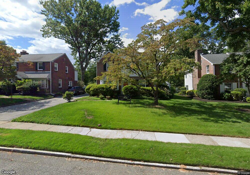
1521 James Rd Wynnewood, PA 19096
Estimated Value: $660,000 - $765,000
3
Beds
4
Baths
1,408
Sq Ft
$512/Sq Ft
Est. Value
About This Home
This home is located at 1521 James Rd, Wynnewood, PA 19096 and is currently estimated at $720,631, approximately $511 per square foot. 1521 James Rd is a home located in Montgomery County with nearby schools including Penn Wynne Elementary School, Bala-Cynwyd Middle School, and Lower Merion High School.
Ownership History
Date
Name
Owned For
Owner Type
Purchase Details
Closed on
Dec 2, 2008
Sold by
Berretone Thomas A and Berretone Joseph A
Bought by
Figures Julia B and Figures William R
Current Estimated Value
Home Financials for this Owner
Home Financials are based on the most recent Mortgage that was taken out on this home.
Original Mortgage
$266,000
Outstanding Balance
$176,957
Interest Rate
6.27%
Estimated Equity
$543,674
Purchase Details
Closed on
Nov 29, 2005
Sold by
Lazarus Earl S
Bought by
Berretone Thomas A and Berretone Joseph A
Home Financials for this Owner
Home Financials are based on the most recent Mortgage that was taken out on this home.
Original Mortgage
$324,950
Interest Rate
6.34%
Create a Home Valuation Report for This Property
The Home Valuation Report is an in-depth analysis detailing your home's value as well as a comparison with similar homes in the area
Home Values in the Area
Average Home Value in this Area
Purchase History
| Date | Buyer | Sale Price | Title Company |
|---|---|---|---|
| Figures Julia B | $385,000 | None Available | |
| Berretone Thomas A | $342,062 | None Available |
Source: Public Records
Mortgage History
| Date | Status | Borrower | Loan Amount |
|---|---|---|---|
| Open | Figures Julia B | $266,000 | |
| Previous Owner | Berretone Thomas A | $324,950 |
Source: Public Records
Tax History Compared to Growth
Tax History
| Year | Tax Paid | Tax Assessment Tax Assessment Total Assessment is a certain percentage of the fair market value that is determined by local assessors to be the total taxable value of land and additions on the property. | Land | Improvement |
|---|---|---|---|---|
| 2025 | $8,190 | $196,110 | -- | -- |
| 2024 | $8,190 | $196,110 | -- | -- |
| 2023 | $7,849 | $196,110 | $0 | $0 |
| 2022 | $7,703 | $196,110 | $0 | $0 |
| 2021 | $7,528 | $196,110 | $0 | $0 |
| 2020 | $7,344 | $196,110 | $0 | $0 |
| 2019 | $7,214 | $196,110 | $0 | $0 |
| 2018 | $7,214 | $196,110 | $0 | $0 |
| 2017 | $6,949 | $196,110 | $0 | $0 |
| 2016 | $6,873 | $196,110 | $0 | $0 |
| 2015 | $6,408 | $196,110 | $0 | $0 |
| 2014 | $6,408 | $196,110 | $0 | $0 |
Source: Public Records
Map
Nearby Homes
- 442 E Spring Ave
- 1525 W Wynnewood Rd
- 2222 Bryn Mawr Ave
- 101 Grandview Rd
- 2409 Belmont Ave
- 2313 Haverford Rd
- 433 Haverford Rd
- 1219 W Wynnewood Rd Unit 311
- 383 Lakeside Rd Unit G2
- 383 Lakeside Rd Unit 105
- 2528 Rosemont Ave
- 400 Witley Rd
- 754 Oak View Rd
- 761 Hathaway Ln
- 421 E Eagle Rd
- 64 E Spring Ave
- 407 Oakwynne Dr
- 140 Walnut Ave
- 14 Simpson Rd
- 222 Lippincott Ave