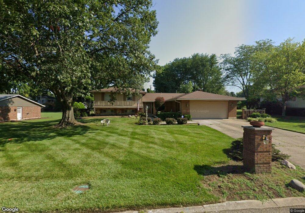
1521 Langdon Dr Dayton, OH 45459
Estimated Value: $369,000 - $447,000
3
Beds
4
Baths
2,259
Sq Ft
$177/Sq Ft
Est. Value
About This Home
This home is located at 1521 Langdon Dr, Dayton, OH 45459 and is currently estimated at $400,198, approximately $177 per square foot. 1521 Langdon Dr is a home located in Montgomery County with nearby schools including Primary Village North, Stingley Elementary School, and Tower Heights Middle School.
Ownership History
Date
Name
Owned For
Owner Type
Purchase Details
Closed on
Feb 4, 2025
Sold by
Mary Joan Layne Family Trust and House William H
Bought by
House William H and Edsell Calina Savanna
Current Estimated Value
Purchase Details
Closed on
Dec 12, 2012
Sold by
Layne Mary Joan
Bought by
Layne Mary Joan
Purchase Details
Closed on
Nov 22, 2000
Sold by
Dobrowski James L and Dobrowski Rebecca L
Bought by
Layne Chester F and Layne Mary Joan
Create a Home Valuation Report for This Property
The Home Valuation Report is an in-depth analysis detailing your home's value as well as a comparison with similar homes in the area
Home Values in the Area
Average Home Value in this Area
Purchase History
| Date | Buyer | Sale Price | Title Company |
|---|---|---|---|
| House William H | -- | None Listed On Document | |
| Layne Mary Joan | -- | None Available | |
| Layne Chester F | -- | -- |
Source: Public Records
Tax History Compared to Growth
Tax History
| Year | Tax Paid | Tax Assessment Tax Assessment Total Assessment is a certain percentage of the fair market value that is determined by local assessors to be the total taxable value of land and additions on the property. | Land | Improvement |
|---|---|---|---|---|
| 2024 | $6,466 | $120,590 | $21,740 | $98,850 |
| 2023 | $6,466 | $120,590 | $21,740 | $98,850 |
| 2022 | $5,751 | $87,330 | $15,750 | $71,580 |
| 2021 | $5,767 | $87,330 | $15,750 | $71,580 |
| 2020 | $5,759 | $87,330 | $15,750 | $71,580 |
| 2019 | $5,562 | $76,480 | $15,750 | $60,730 |
| 2018 | $4,930 | $76,480 | $15,750 | $60,730 |
| 2017 | $4,873 | $76,480 | $15,750 | $60,730 |
| 2016 | $4,652 | $69,760 | $15,750 | $54,010 |
| 2015 | $4,604 | $69,760 | $15,750 | $54,010 |
| 2014 | $4,604 | $69,760 | $15,750 | $54,010 |
| 2012 | -- | $66,910 | $19,250 | $47,660 |
Source: Public Records
Map
Nearby Homes
- 1563 Langdon Dr
- 1620 Ambridge Rd
- 7640 Cloverbrook Park Dr
- 7201 Brookmeadow Dr Unit 11A
- 2349 Donamere Cir Unit 5C
- 7308 Tamarind Trail
- 7395 Cades Cove Unit 174174
- 2540 Early Spring Ct
- 6765 Montpellier Blvd
- 2580 Hingham Ln
- 1235 Chevington Ct Unit 1515
- 7124 Fallen Oak Trace Unit 420
- 1501 Lake Pointe Way Unit 8
- 7215 Whitetail Trail Unit 108108
- 1511 Lake Pointe Way
- 1511 Lake Pointe Way Unit 2
- 7129 Fallen Oak Trace Unit 839
- 1310 Hollow Run Unit 3
- 7128 Hartcrest Ln Unit 130130
- 7128 Hartcrest Ln Unit 130
- 1527 Langdon Dr
- 1515 Langdon Dr
- 7650 Rolling Oak Dr
- 7660 W von Dette Cir
- 7660 Rolling Oak Dr
- 1533 Langdon Dr
- 1532 Langdon Dr
- 1526 Langdon Dr
- 1538 Langdon Dr
- 7645 W von Dette Cir
- 1520 Langdon Dr
- 7640 Rolling Oak Dr
- 1539 Langdon Dr
- 7670 Rolling Oak Dr
- 7650 W von Dette Cir
- 1550 Langdon Dr
- 7635 W von Dette Cir
- 1553 Ambridge Rd
- 1547 Ambridge Rd
- 1559 Ambridge Rd