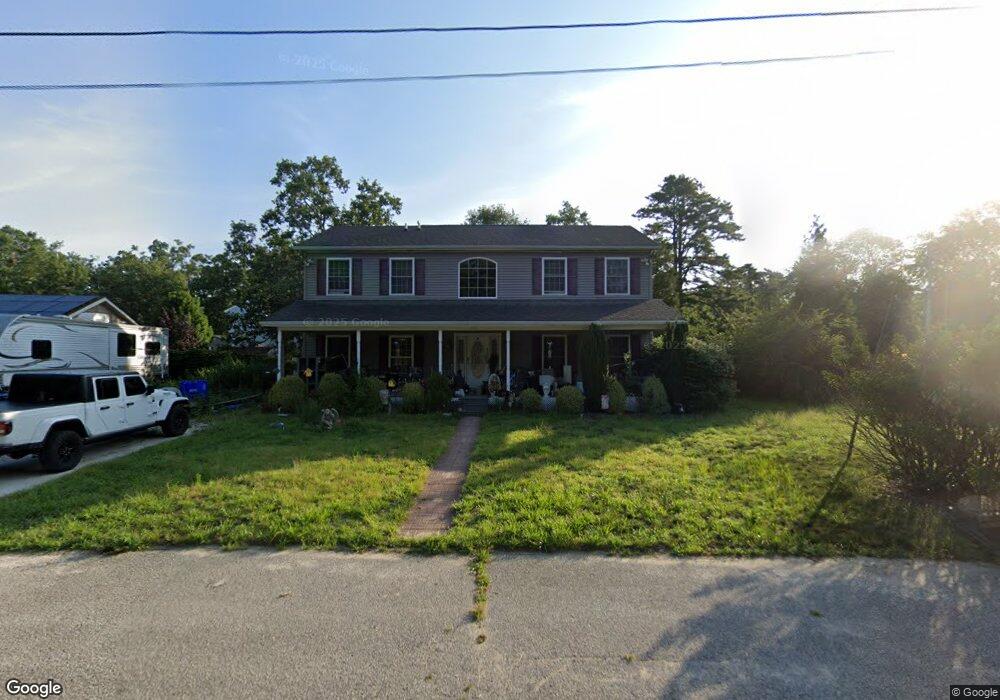
1521 Pinehurst Dr Mays Landing, NJ 08330
Estimated Value: $352,000 - $481,000
--
Bed
--
Bath
2,288
Sq Ft
$181/Sq Ft
Est. Value
About This Home
This home is located at 1521 Pinehurst Dr, Mays Landing, NJ 08330 and is currently estimated at $414,557, approximately $181 per square foot. 1521 Pinehurst Dr is a home located in Atlantic County with nearby schools including Joseph Shaner School, George L. Hess Educational Complex, and William Davies Middle School.
Ownership History
Date
Name
Owned For
Owner Type
Purchase Details
Closed on
Oct 26, 2018
Sold by
Dodson Caryn and Dodson Francesco Caryn
Bought by
Francesco Caryn
Current Estimated Value
Home Financials for this Owner
Home Financials are based on the most recent Mortgage that was taken out on this home.
Original Mortgage
$132,250
Outstanding Balance
$83,540
Interest Rate
4.8%
Mortgage Type
New Conventional
Estimated Equity
$331,017
Purchase Details
Closed on
Nov 29, 2002
Sold by
Severs William
Bought by
Dobson Caryn
Home Financials for this Owner
Home Financials are based on the most recent Mortgage that was taken out on this home.
Original Mortgage
$79,200
Interest Rate
6.16%
Mortgage Type
Purchase Money Mortgage
Create a Home Valuation Report for This Property
The Home Valuation Report is an in-depth analysis detailing your home's value as well as a comparison with similar homes in the area
Home Values in the Area
Average Home Value in this Area
Purchase History
| Date | Buyer | Sale Price | Title Company |
|---|---|---|---|
| Francesco Caryn | -- | Servicelink East Escrow | |
| Dobson Caryn | $99,000 | -- | |
| Dodson Caryn | $99,000 | Fidelity National Title Ins |
Source: Public Records
Mortgage History
| Date | Status | Borrower | Loan Amount |
|---|---|---|---|
| Open | Francesco Caryn | $132,250 | |
| Closed | Dodson Caryn | $79,200 |
Source: Public Records
Tax History Compared to Growth
Tax History
| Year | Tax Paid | Tax Assessment Tax Assessment Total Assessment is a certain percentage of the fair market value that is determined by local assessors to be the total taxable value of land and additions on the property. | Land | Improvement |
|---|---|---|---|---|
| 2025 | $7,795 | $227,200 | $49,700 | $177,500 |
| 2024 | $7,795 | $227,200 | $49,700 | $177,500 |
| 2023 | $7,329 | $227,200 | $49,700 | $177,500 |
| 2022 | $7,329 | $227,200 | $49,700 | $177,500 |
| 2021 | $7,314 | $227,200 | $49,700 | $177,500 |
| 2020 | $7,314 | $227,200 | $49,700 | $177,500 |
| 2019 | $7,332 | $227,200 | $49,700 | $177,500 |
| 2018 | $7,075 | $227,200 | $49,700 | $177,500 |
| 2017 | $6,964 | $227,200 | $49,700 | $177,500 |
| 2016 | $6,768 | $227,200 | $49,700 | $177,500 |
| 2015 | $6,539 | $227,200 | $49,700 | $177,500 |
| 2014 | $6,583 | $250,600 | $54,700 | $195,900 |
Source: Public Records
Map
Nearby Homes
- 18 Lewis Dr
- 94 Merlino Ln
- 40 Vender Ln
- 55 Lewis Dr
- 5910 Somerset Dr
- 5906 Vine Dr
- 42 Ernst Ct
- 5910 Redwood Ct
- Bl 531 Lot 8&9 Adams Ave
- 0 Cape May Ave
- 5926 Berry Dr
- 22 Ernst Ct
- Lot:11.02-12.02 Estelle Ave
- B:534 L:11.01 Estelle Ave
- B:534 L:12.02 Estelle Ave
- B:534 L:11.02 Estelle Ave
- 1st First Ave
- Rt 50 and Old Mays Landing Rd
- 000 Apple St
- 0 Apple St