1521 W 24th St Sault Sainte Marie, MI 49783
Estimated Value: $149,998 - $322,000
3
Beds
1
Bath
1,400
Sq Ft
$153/Sq Ft
Est. Value
About This Home
This home is located at 1521 W 24th St, Sault Sainte Marie, MI 49783 and is currently estimated at $214,500, approximately $153 per square foot. 1521 W 24th St is a home located in Chippewa County with nearby schools including Washington Elementary School, Sault Area Middle School, and Sault Area High School.
Ownership History
Date
Name
Owned For
Owner Type
Purchase Details
Closed on
Jan 28, 2016
Sold by
Dennis Dobrowolski Joseph John and Dobrowolski Marcy K
Bought by
Dennis Dobrowolski Joseph John and Dobrowolski Marcy K
Current Estimated Value
Purchase Details
Closed on
Jun 3, 2015
Sold by
Marcy K Marcy K and Mcpherson Sandra
Bought by
Dobrowolski Marcy K and Mcpherson Sandra
Purchase Details
Closed on
Apr 21, 2011
Sold by
Dobrowolski Marcy K
Bought by
Dobrowolski Marcy K and Mcpherson Sandra
Purchase Details
Closed on
Feb 11, 2011
Sold by
Lemma Michael J
Bought by
Dobrowolski Marcy K
Create a Home Valuation Report for This Property
The Home Valuation Report is an in-depth analysis detailing your home's value as well as a comparison with similar homes in the area
Home Values in the Area
Average Home Value in this Area
Purchase History
| Date | Buyer | Sale Price | Title Company |
|---|---|---|---|
| Dennis Dobrowolski Joseph John | -- | None Available | |
| Dobrowolski Marcy K | -- | -- | |
| Dobrowolski Marcy K | -- | -- | |
| Dobrowolski Marcy K | $37,145 | -- |
Source: Public Records
Tax History Compared to Growth
Tax History
| Year | Tax Paid | Tax Assessment Tax Assessment Total Assessment is a certain percentage of the fair market value that is determined by local assessors to be the total taxable value of land and additions on the property. | Land | Improvement |
|---|---|---|---|---|
| 2025 | $1,737 | $64,500 | $0 | $0 |
| 2024 | $1,042 | $59,300 | $0 | $0 |
| 2023 | $1,143 | $52,100 | $0 | $0 |
| 2022 | $1,143 | $47,800 | $0 | $0 |
| 2021 | $1,093 | $43,400 | $0 | $0 |
| 2020 | $1,073 | $39,100 | $0 | $0 |
| 2019 | $1,052 | $39,200 | $0 | $0 |
| 2018 | $1,024 | $37,900 | $0 | $0 |
| 2017 | $839 | $37,100 | $0 | $0 |
| 2016 | $828 | $37,000 | $0 | $0 |
Source: Public Records
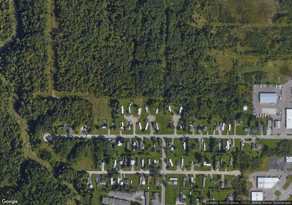
Map
Nearby Homes
- 3105 Sherman Park Dr
- 3220 Sherman Park Dr
- 00 W 16th Ave
- 2245 W 5th Ave
- 3325 Lakeshore Dr
- 3344 Lakeshore Dr
- 3349 Lakeshore Dr
- 0000 W 11th Ave
- 0000 W 11th Ave
- 1811 Chestnut St
- 3468 Lakeshore Dr Unit 3468
- 3468 Lakeshore Dr
- 1427 W 14th St
- 3580 Bermuda Ave
- 2550 W 14th St
- 3715 Bermuda Ave
- 1605 S Mulligan Row
- 1605 S Mulligan Row Unit 1605
- 3601 S Radar Rd
- 1733 W 24th St
- 1517 W 24th St
- 1515 W 24th St
- 2510 Sherman Park Dr
- 1505 W 24th St
- 1503 W 24th St
- 1309 W 24th St
- 2300 W 24th St
- 2300 W 24th St
- 2300 W 24th St
- 1305 W 24th St
- 1205 W 24th St
- 1205 W 24th St
- 1205 W 24th St Unit 1205
- 305 East Ave
- 333 East Ave
- 337 East Ave
- 1596 W 22nd St
- 325 East Ave
- 212 Parkway St