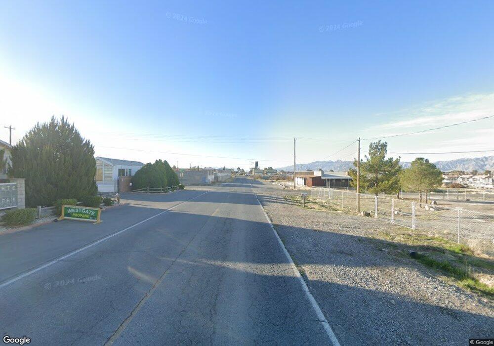
1521 West Ave Unit 3 Pahrump, NV 89048
Estimated Value: $206,000 - $346,000
1
Bed
1
Bath
1,528
Sq Ft
$187/Sq Ft
Est. Value
About This Home
This home is located at 1521 West Ave Unit 3, Pahrump, NV 89048 and is currently estimated at $285,219, approximately $186 per square foot. 1521 West Ave Unit 3 is a home located in Nye County with nearby schools including J.G. Johnson Elementary School, Rosemary Clarke Middle School, and Pahrump Valley High School.
Ownership History
Date
Name
Owned For
Owner Type
Purchase Details
Closed on
Apr 27, 2021
Sold by
Nevada Old West Llc
Bought by
Crawley Harold and Crawley Makiko
Current Estimated Value
Purchase Details
Closed on
Dec 10, 2007
Sold by
Sterling Bay Homes Ltd
Bought by
Nevada Old West Llc
Purchase Details
Closed on
Mar 16, 2006
Sold by
Sterling Bay Homes Ltd
Bought by
Clark Bill
Purchase Details
Closed on
Apr 12, 2005
Sold by
Gregorio Ernesto and Gregorio Arlina
Bought by
Qeirevis Fely A
Create a Home Valuation Report for This Property
The Home Valuation Report is an in-depth analysis detailing your home's value as well as a comparison with similar homes in the area
Home Values in the Area
Average Home Value in this Area
Purchase History
| Date | Buyer | Sale Price | Title Company |
|---|---|---|---|
| Crawley Harold | $175,000 | Equity Title Of Nevas | |
| Nevada Old West Llc | $290,010 | Chicago Title | |
| Clark Bill | $40,000 | None Available | |
| Qeirevis Fely A | $20,000 | None Available |
Source: Public Records
Tax History Compared to Growth
Tax History
| Year | Tax Paid | Tax Assessment Tax Assessment Total Assessment is a certain percentage of the fair market value that is determined by local assessors to be the total taxable value of land and additions on the property. | Land | Improvement |
|---|---|---|---|---|
| 2025 | $1,478 | $53,809 | $2,894 | $50,915 |
| 2024 | $1,478 | $55,920 | $2,894 | $53,026 |
| 2023 | $1,478 | $50,561 | $2,894 | $47,667 |
| 2022 | $1,269 | $46,439 | $2,894 | $43,545 |
| 2021 | $1,180 | $44,061 | $2,315 | $41,746 |
| 2020 | $1,134 | $43,945 | $2,315 | $41,630 |
| 2019 | $1,062 | $50,888 | $2,315 | $48,573 |
| 2018 | $1,015 | $48,817 | $1,852 | $46,965 |
| 2017 | $976 | $39,248 | $1,852 | $37,396 |
| 2016 | $952 | $27,561 | $1,852 | $25,709 |
| 2015 | $945 | $25,541 | $1,852 | $23,689 |
| 2014 | $916 | $27,574 | $1,852 | $25,722 |
Source: Public Records
Map
Nearby Homes
- 271 W Liberty St
- 280 Liberty St
- 261 W Liberty St
- 1860 S Old Ave W
- 1840 S Old Ave W
- 1460 S Old Ave W
- 200 W Eton St
- 1500 Peacock Ave
- 290 Kite St
- 261 Kite St
- 231 Kite St
- 301 Jobella Ln
- 1120 S Comstock Cir
- 221 Ivy Ln
- 291 Greenwater St
- 1250 SW Comstock Cir
- 120 Old Mine Rd
- 100 Old Mine Rd
- 70 Potter Place
- 110 Rudy Rd
- 1521 Old West Ave
- 1521 Old Ave W Unit 1
- 1520 S Comstock Cir W
- 1500 S Comstock Cir W
- 1500 S Comstock Cir W
- 1480 S Comstock Cir W
- 320 W Comstock Cir S
- 320 Comstock Cir S
- 321 Moore Rd
- 1460 S Comstock Cir W
- 310 SW Comstock Cir
- 1450 S Comstock Cir W
- 311 Moore Rd
- 310 Moore Rd
- 1440 S Comstock Cir W
- 301 Moore Rd
- 300 Moore Rd
- 311 W Liberty St
- 291 Moore Rd
- 1430 S Comstock Cir W
