15210 Hubbard Rd West Fork, AR 72774
Estimated Value: $163,617 - $384,000
--
Bed
1
Bath
900
Sq Ft
$256/Sq Ft
Est. Value
About This Home
This home is located at 15210 Hubbard Rd, West Fork, AR 72774 and is currently estimated at $230,154, approximately $255 per square foot. 15210 Hubbard Rd is a home located in Washington County with nearby schools including West Fork Elementary School, West Fork Middle School, and West Fork High School.
Ownership History
Date
Name
Owned For
Owner Type
Purchase Details
Closed on
Jun 2, 2017
Sold by
Clark Dennis and Clark Bonnie
Bought by
Strode Brian and Strode Harmony
Current Estimated Value
Purchase Details
Closed on
Nov 30, 2012
Sold by
Pilotte Peter L and Pilotte Carmen Jean
Bought by
Pilotte Andrew Leonell
Purchase Details
Closed on
Jan 1, 1985
Bought by
Stills Eugene
Create a Home Valuation Report for This Property
The Home Valuation Report is an in-depth analysis detailing your home's value as well as a comparison with similar homes in the area
Home Values in the Area
Average Home Value in this Area
Purchase History
| Date | Buyer | Sale Price | Title Company |
|---|---|---|---|
| Strode Brian | -- | Waco Title Co | |
| Pilotte Andrew Leonell | -- | None Available | |
| Stills Eugene | -- | -- |
Source: Public Records
Tax History Compared to Growth
Tax History
| Year | Tax Paid | Tax Assessment Tax Assessment Total Assessment is a certain percentage of the fair market value that is determined by local assessors to be the total taxable value of land and additions on the property. | Land | Improvement |
|---|---|---|---|---|
| 2025 | $240 | $28,490 | $14,250 | $14,240 |
| 2024 | $314 | $28,490 | $14,250 | $14,240 |
| 2023 | $377 | $28,490 | $14,250 | $14,240 |
| 2022 | $438 | $15,580 | $4,600 | $10,980 |
| 2021 | $813 | $15,580 | $4,600 | $10,980 |
| 2020 | $648 | $13,240 | $4,600 | $8,640 |
| 2019 | $598 | $11,090 | $3,580 | $7,510 |
| 2018 | $598 | $11,090 | $3,580 | $7,510 |
| 2017 | $19 | $11,090 | $3,580 | $7,510 |
| 2016 | $242 | $9,840 | $3,580 | $6,260 |
| 2015 | $181 | $9,840 | $3,580 | $6,260 |
| 2014 | $179 | $9,790 | $3,380 | $6,410 |
Source: Public Records
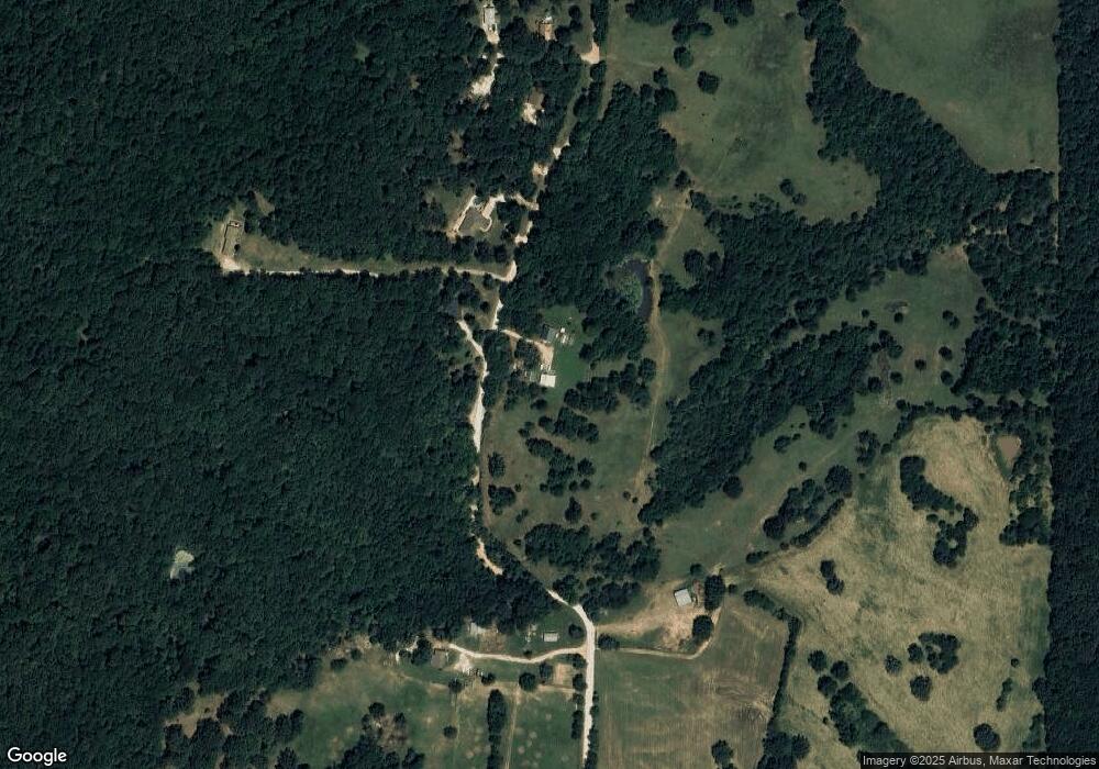
Map
Nearby Homes
- 00 8.86 acres Hubbard Rd
- 00 Hubbard Rd
- 15607 Hubbard Rd
- 16293 Arkansas 265
- 30.47 Acres Onda Mountain (Wc 213)
- 16380 Cove Creek Rd N
- 13184 Cove Creek Rd N
- 841 Petit Jean St
- 16291 S Highway 265
- 14648 Director Rd
- 14295 Blue Mountain Rd
- 16175 N Cove Creek Wc 21 Rd
- 16175 Cove Creek N
- 12930 Baker Mountain Rd
- 13015 Rocky Hill Rd
- 12996 Rocky Hill (Wc 403) Rd
- 7.03 AC Rocky Hill Rd
- 12063 W Highway 156
- 827 Mueller Way
- 12413 Rocky Hill Rd
- 01 Hubbard Rd
- 0000 Hubbard Rd
- 15207 Hubbard Rd
- 15113 Hubbard Rd
- 15027 Hubbard Rd
- 0 Hubbard Rd Unit 451397
- 0 Cr 214
- 0 Hubbard Rd Unit 639890
- 0 Hubbard Rd Unit 674578
- 15305 Hubbard Rd
- 15045 Hubbard Rd
- 14913 Hubbard Rd
- 14879 Hubbard Rd
- 14879 Hubbard Rd
- 14879 Hubbard Rd Unit Tract A & B
- 15073 Hubbard Rd
- 15113 Hubbard Rd
- 0 Cr 213 Onda Mtn Rd
- 00 Onda Mtn Rd (Cr213)
- 14762 Hubbard Rd Unit 214