Estimated Value: $144,664 - $264,000
3
Beds
--
Bath
1,277
Sq Ft
$152/Sq Ft
Est. Value
About This Home
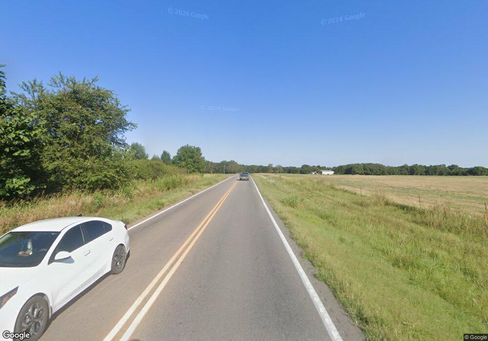
This home is located at 15210 W State Highway 90, Noel, MO 64854 and is currently estimated at $194,416, approximately $152 per square foot. 15210 W State Highway 90 is a home with nearby schools including McDonald County High School.
Create a Home Valuation Report for This Property
The Home Valuation Report is an in-depth analysis detailing your home's value as well as a comparison with similar homes in the area
Home Values in the Area
Average Home Value in this Area
Tax History Compared to Growth
Tax History
| Year | Tax Paid | Tax Assessment Tax Assessment Total Assessment is a certain percentage of the fair market value that is determined by local assessors to be the total taxable value of land and additions on the property. | Land | Improvement |
|---|---|---|---|---|
| 2025 | $678 | $18,530 | $0 | $0 |
| 2024 | $678 | $17,110 | $0 | $0 |
| 2023 | $678 | $17,110 | $0 | $0 |
| 2022 | $678 | $17,110 | $0 | $0 |
| 2021 | $678 | $17,110 | $0 | $0 |
| 2020 | $593 | $14,920 | $0 | $0 |
| 2019 | -- | $14,920 | $0 | $0 |
| 2018 | -- | $14,920 | $0 | $0 |
| 2017 | $594 | $14,920 | $0 | $0 |
| 2016 | $571 | $14,350 | $0 | $0 |
Source: Public Records
Map
Nearby Homes
- Lots 25-27 Forrest Ave
- 886 Hart Cir
- Tract 4 W State Highway 90
- Tract 4 State Highway 90
- Tract 1 State Highway 90
- Tract 2 State Highway 90
- Tract 3 W State Highway 90
- Tract 1 W State Highway 90
- 421 Lakewood Dr
- 105 Ester St
- 000 Elmwood Ln
- Lot 14 Elmwood Ln
- 719 Easy St
- 715 Easy St
- Tbd Park St
- 722 Easy St
- 510 N Kings Hwy
- 500 Davis St
- 10.75acres Younkers Ln
- Tbd Redwood Ln
- - Rt Highway Dd
- 611 Empire Ave
- 138 Golf Course Dr
- 124 Golf Course Dr
- 703 Empire Ave
- 605 Empire Ave
- 601 Empire Ave
- 707 Empire Ave
- 607 Empire Ave
- 0 Empire & Forrest Ave
- 109 Forrest Ave
- Xxx Empire Ave
- 0 Empire Ave
- 507 Empire Ave
- 122 Golf Course Dr
- 126 Golf Course Dr
- 505 Empire Ave
- 107 Forrest Ave
- 101 River Dr
- 120 Golf Course Dr
