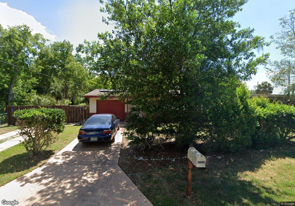
15218 Michael Dr Hudson, FL 34667
Estimated Value: $118,088 - $165,000
2
Beds
1
Bath
830
Sq Ft
$171/Sq Ft
Est. Value
About This Home
This home is located at 15218 Michael Dr, Hudson, FL 34667 and is currently estimated at $142,022, approximately $171 per square foot. 15218 Michael Dr is a home located in Pasco County with nearby schools including West Pasco Education Academy, Hudson Middle School, and Hudson High School.
Ownership History
Date
Name
Owned For
Owner Type
Purchase Details
Closed on
Sep 15, 2014
Sold by
Greer Pamela L
Bought by
Greer Pamela L and The Pamela L Greer Revocable Living Trus
Current Estimated Value
Purchase Details
Closed on
Jan 11, 2005
Sold by
Sonnak Reinhardt K
Bought by
Greer Pamela L
Purchase Details
Closed on
Mar 8, 1995
Sold by
Egner William
Bought by
Sonnak Reinhardt K and Greer Pamela L
Purchase Details
Closed on
Mar 7, 1995
Sold by
Smith Elizabeth A
Bought by
Sonnak Reinhardt K and Greer Pamela L
Create a Home Valuation Report for This Property
The Home Valuation Report is an in-depth analysis detailing your home's value as well as a comparison with similar homes in the area
Home Values in the Area
Average Home Value in this Area
Purchase History
| Date | Buyer | Sale Price | Title Company |
|---|---|---|---|
| Greer Pamela L | -- | Attorney | |
| Greer Pamela L | -- | -- | |
| Sonnak Reinhardt K | $13,800 | -- | |
| Sonnak Reinhardt K | -- | -- | |
| Sonnak Reinhardt K | $13,800 | -- |
Source: Public Records
Tax History
| Year | Tax Paid | Tax Assessment Tax Assessment Total Assessment is a certain percentage of the fair market value that is determined by local assessors to be the total taxable value of land and additions on the property. | Land | Improvement |
|---|---|---|---|---|
| 2026 | $330 | $34,450 | -- | -- |
| 2025 | $330 | $34,450 | -- | -- |
| 2024 | $330 | $32,540 | -- | -- |
| 2023 | $306 | $31,600 | $0 | $0 |
| 2022 | $277 | $30,680 | $0 | $0 |
| 2021 | $257 | $29,790 | $11,161 | $18,629 |
| 2020 | $244 | $29,380 | $7,722 | $21,658 |
| 2019 | $227 | $28,720 | $0 | $0 |
| 2018 | $212 | $28,193 | $0 | $0 |
| 2017 | $203 | $28,193 | $0 | $0 |
| 2016 | $153 | $27,045 | $0 | $0 |
| 2015 | $151 | $26,857 | $0 | $0 |
| 2014 | $137 | $27,378 | $7,722 | $19,656 |
Source: Public Records
Map
Nearby Homes
- 7947 Palatine Dr
- 7827 Butler Ave
- 7830 Butler Ave
- 7815 Butler Ave
- 14932 U S Highway 19
- 10132 New York Ave
- 8301 New York Ave Unit 9A
- 7719 New York Ave
- 0 Redfish St Unit MFRTB8402868
- 0 Redfish St Unit 2254377
- 0 Redfish St Unit 846020
- 0 Sunnydale Dr
- LOT 8 Detroit Ave
- 15127 Bluefish St
- 15553 U S 19
- 15475 Decarolis St
- 7515 New York Ave
- 8035 Gulf Way
- lot 77 Gulf Way
- 0 Gulf Way Unit MFRW7882310
- 15218 Michael Dr
- 15212 Michael Dr
- 15219 Michael Dr
- 15215 Michael Dr
- 15204 Peoria Ave
- 8015 Cadillac Ave
- 15215 US Highway 19 Unit A
- 15215 US Highway 19
- 7938 Palatine Dr
- 15134 Peoria Ave
- 8039 Palatine Dr
- 7939 Cadillac Ave
- 15217 U S 19
- 15217 U S Highway 19
- 0 Cadillac Ave Unit W7622292
- 7935 Palatine Dr
- 7929 Cadillac Ave
- 15225 Us Highway 19 Unit 1D, 2
- 15225 Us Highway 19
- 7920 Palatine Dr
Your Personal Tour Guide
Ask me questions while you tour the home.