Estimated Value: $266,160 - $278,000
2
Beds
2
Baths
1,600
Sq Ft
$170/Sq Ft
Est. Value
About This Home
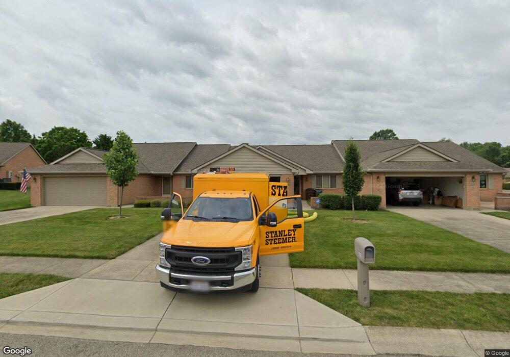
This home is located at 1522 Dee Anne Dr Unit 30, Xenia, OH 45385 and is currently estimated at $271,540, approximately $169 per square foot. 1522 Dee Anne Dr Unit 30 is a home located in Greene County with nearby schools including Xenia High School and Legacy Christian Academy.
Ownership History
Date
Name
Owned For
Owner Type
Purchase Details
Closed on
Jun 3, 2022
Sold by
Thackery Joan A
Bought by
Savage Deloris Jean
Current Estimated Value
Purchase Details
Closed on
Dec 21, 2017
Sold by
Thackery Joan A
Bought by
Mcculla Bonnie J
Purchase Details
Closed on
Jul 15, 2013
Sold by
Moler Evelyn L
Bought by
Thackery Joan A
Purchase Details
Closed on
Apr 3, 2008
Sold by
Moler James O and Moler Evelyn L
Bought by
Moler Evelyn L
Purchase Details
Closed on
Jun 30, 2003
Sold by
Northup Teresa A
Bought by
Moler Evelyn L
Purchase Details
Closed on
Nov 20, 1998
Sold by
Aultman Margaret H
Bought by
Northup Teresa A
Home Financials for this Owner
Home Financials are based on the most recent Mortgage that was taken out on this home.
Original Mortgage
$115,500
Interest Rate
7.01%
Purchase Details
Closed on
Aug 29, 1996
Sold by
Martin David A
Bought by
Aultman Margaret H
Create a Home Valuation Report for This Property
The Home Valuation Report is an in-depth analysis detailing your home's value as well as a comparison with similar homes in the area
Home Values in the Area
Average Home Value in this Area
Purchase History
| Date | Buyer | Sale Price | Title Company |
|---|---|---|---|
| Savage Deloris Jean | -- | Stephan & Stephan Law Group Ll | |
| Mcculla Bonnie J | -- | -- | |
| Thackery Joan A | $129,000 | None Available | |
| Moler Evelyn L | -- | Attorney | |
| Moler Evelyn L | $154,000 | -- | |
| Northup Teresa A | $130,000 | -- | |
| Aultman Margaret H | $124,838 | -- |
Source: Public Records
Mortgage History
| Date | Status | Borrower | Loan Amount |
|---|---|---|---|
| Previous Owner | Northup Teresa A | $115,500 |
Source: Public Records
Tax History Compared to Growth
Tax History
| Year | Tax Paid | Tax Assessment Tax Assessment Total Assessment is a certain percentage of the fair market value that is determined by local assessors to be the total taxable value of land and additions on the property. | Land | Improvement |
|---|---|---|---|---|
| 2024 | $2,708 | $74,750 | $8,750 | $66,000 |
| 2023 | $2,708 | $74,750 | $8,750 | $66,000 |
| 2022 | $2,587 | $61,650 | $8,750 | $52,900 |
| 2021 | $2,622 | $61,650 | $8,750 | $52,900 |
| 2020 | $1,771 | $61,650 | $8,750 | $52,900 |
| 2019 | $1,771 | $43,890 | $8,750 | $35,140 |
| 2018 | $1,778 | $43,890 | $8,750 | $35,140 |
| 2017 | $1,726 | $43,890 | $8,750 | $35,140 |
| 2016 | $1,875 | $45,140 | $8,750 | $36,390 |
| 2015 | $1,880 | $45,140 | $8,750 | $36,390 |
| 2014 | $1,799 | $45,140 | $8,750 | $36,390 |
Source: Public Records
Map
Nearby Homes
- 1171 N Detroit St
- 1038 Frederick Dr
- 902 N Detroit St
- 878 N Detroit St
- 2018 Tahoe Dr
- 1359 Eagles Way
- 1311 Eagles Way
- 1815 Promenade Ln
- 493 Hollywood Blvd
- 499 Hollywood Blvd
- 965 Oak Dale Dr
- 1872 Harris Ln
- 2094 Malibu Trail
- 1968 El Camino Dr
- 1791 Palmer Ct
- 15 Sexton Dr
- 1796 Palmer Ct
- 1802 Palmer Ct
- 513 Redbud Ln
- 659 N King St
- 1522 Dee Anne Dr
- 1520 Dee Anne Dr
- 1524 Dee Anne Dr
- 1504 Dee Anne Dr
- 1487 Pavey Place
- 1485 Pavey Place
- 1483 Pavey Place
- 1502 Dee Anne Dr
- 1481 Pavey Place
- 1521 Dee Anne Dr
- 1523 Dee Anne Dr
- 1500 Dee Anne Dr
- 1525 Dee Anne Dr
- 1552 Pavey Place
- 1465 Pavey Place
- 1503 Dee Anne Dr
- 1550 Pavey Place
- 1501 Dee Anne Dr
- 1463 Pavey Place Unit 13
- 1532 Pavey Place