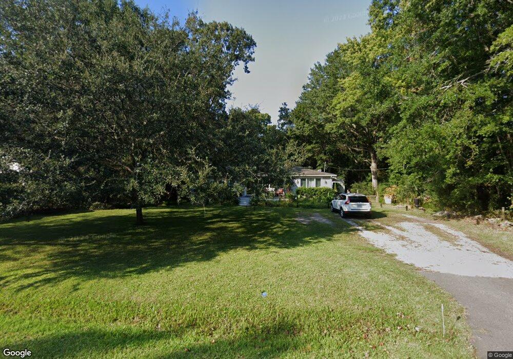
1522 Devons St Charleston, SC 29412
James Island NeighborhoodEstimated Value: $444,000 - $495,000
3
Beds
1
Bath
1,154
Sq Ft
$401/Sq Ft
Est. Value
About This Home
This home is located at 1522 Devons St, Charleston, SC 29412 and is currently estimated at $462,381, approximately $400 per square foot. 1522 Devons St is a home located in Charleston County with nearby schools including James Island Elementary School, Camp Road Middle, and Septima P Clark Corporate Academy.
Ownership History
Date
Name
Owned For
Owner Type
Purchase Details
Closed on
Oct 5, 2021
Sold by
Nunimaker Paula A
Bought by
Jungermann Deborah and Nunimaker Paula A
Current Estimated Value
Purchase Details
Closed on
Mar 13, 2014
Sold by
Estate Of Lisa Jungermann Cody and Nunimaker Paula A
Bought by
Nunimaker Paula A
Purchase Details
Closed on
Nov 10, 2000
Sold by
Youmans Colleen M
Bought by
Jungermann Lisa M
Create a Home Valuation Report for This Property
The Home Valuation Report is an in-depth analysis detailing your home's value as well as a comparison with similar homes in the area
Home Values in the Area
Average Home Value in this Area
Purchase History
| Date | Buyer | Sale Price | Title Company |
|---|---|---|---|
| Jungermann Deborah | $4,054 | None Listed On Document | |
| Nunimaker Paula A | -- | -- | |
| Jungermann Lisa M | $80,000 | -- |
Source: Public Records
Tax History
| Year | Tax Paid | Tax Assessment Tax Assessment Total Assessment is a certain percentage of the fair market value that is determined by local assessors to be the total taxable value of land and additions on the property. | Land | Improvement |
|---|---|---|---|---|
| 2024 | $1,994 | $8,850 | $0 | $0 |
| 2023 | $1,733 | $8,850 | $0 | $0 |
| 2022 | $1,567 | $11,380 | $0 | $0 |
| 2021 | $2,908 | $11,380 | $0 | $0 |
| 2020 | $2,848 | $11,380 | $0 | $0 |
| 2019 | $2,644 | $9,900 | $0 | $0 |
| 2017 | $2,590 | $9,900 | $0 | $0 |
| 2016 | $2,505 | $9,900 | $0 | $0 |
| 2015 | $2,396 | $9,900 | $0 | $0 |
| 2014 | $833 | $0 | $0 | $0 |
| 2011 | -- | $0 | $0 | $0 |
Source: Public Records
Map
Nearby Homes
- 914 Dill Ave
- 1815 Walsingham Way
- 1153 Pauline Ave
- 1039 Yorktown Dr
- 1814 S Mayflower Dr
- 1156 Pittsford Cir
- 1403 Dove Run Dr Unit B
- 1131 Bellwood Rd
- 1135 Bellwood Rd
- 1133 Oakcrest Dr
- 21 Rivers Point Row Unit 11B
- 1165 Rivercrest Dr
- 1072 Kentwood Cir
- 0 Turkey Pen Rd Unit 16023532
- 1402 Camp Rd Unit 3H
- 1402 Camp Rd Unit 5E
- 1402 Camp Rd Unit 3F
- 1402 Camp Rd Unit 3B
- 1402 Camp Rd Unit 7A
- 1402 Camp Rd Unit 16F
- 1528 Devons St
- 1532 Devons St
- 1523 Chandler St
- 1512 Devons St
- 1517 Chandler St
- 1527 Chandler St
- 1525 Devons St
- 1521 Devons St
- 1513 Chandler St
- 1007 Chandler St
- 1531 Devons St
- 1538 Devons St
- 1508 Devons St
- 1533 Chandler St
- 1533 Chandler St
- 1537 Devons St
- 1539 Chandler St
- 1509 Devons St
- 1542 Devons St
- 1015 Pauline Ave
Your Personal Tour Guide
Ask me questions while you tour the home.