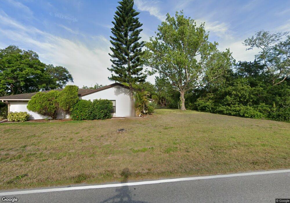
1522 Fireside St Port Charlotte, FL 33952
Estimated Value: $210,000 - $268,000
2
Beds
2
Baths
1,436
Sq Ft
$174/Sq Ft
Est. Value
About This Home
This home is located at 1522 Fireside St, Port Charlotte, FL 33952 and is currently estimated at $249,309, approximately $173 per square foot. 1522 Fireside St is a home located in Charlotte County with nearby schools including Neil Armstrong Elementary School, Murdock Middle School, and Port Charlotte High School.
Ownership History
Date
Name
Owned For
Owner Type
Purchase Details
Closed on
Jun 22, 2011
Sold by
Burgos Gabriel V and The Gabriel V Burgos Living Tr
Bought by
Cotroneo Keith J
Current Estimated Value
Home Financials for this Owner
Home Financials are based on the most recent Mortgage that was taken out on this home.
Original Mortgage
$42,700
Outstanding Balance
$2,907
Interest Rate
4.62%
Mortgage Type
New Conventional
Estimated Equity
$246,402
Create a Home Valuation Report for This Property
The Home Valuation Report is an in-depth analysis detailing your home's value as well as a comparison with similar homes in the area
Home Values in the Area
Average Home Value in this Area
Purchase History
| Date | Buyer | Sale Price | Title Company |
|---|---|---|---|
| Cotroneo Keith J | $61,000 | Sunbelt Title Agency |
Source: Public Records
Mortgage History
| Date | Status | Borrower | Loan Amount |
|---|---|---|---|
| Open | Cotroneo Keith J | $42,700 |
Source: Public Records
Tax History Compared to Growth
Tax History
| Year | Tax Paid | Tax Assessment Tax Assessment Total Assessment is a certain percentage of the fair market value that is determined by local assessors to be the total taxable value of land and additions on the property. | Land | Improvement |
|---|---|---|---|---|
| 2023 | $3,199 | $196,364 | $0 | $0 |
| 2022 | $3,084 | $190,645 | $0 | $0 |
| 2021 | $3,080 | $185,092 | $5,525 | $179,567 |
| 2020 | $3,031 | $182,938 | $4,675 | $178,263 |
| 2019 | $3,212 | $177,326 | $4,675 | $172,651 |
| 2018 | $2,879 | $174,337 | $4,250 | $170,087 |
| 2017 | $2,032 | $104,785 | $4,216 | $100,569 |
| 2016 | $1,899 | $76,269 | $0 | $0 |
| 2015 | $1,760 | $69,335 | $0 | $0 |
| 2014 | $1,604 | $63,032 | $0 | $0 |
Source: Public Records
Map
Nearby Homes
- 1529 Fireside St
- 1505 Fireside St
- 1505 Harbor Blvd
- 1497 Harbor Blvd
- 21432 Bryn Mawr Ave
- 21431 Circlewood Ave
- 21460 Dawson Ave
- 1425 Harbor Blvd
- 2116 Hanson St
- 1578 Adrian St
- 1370 Dewitt St
- 21327 Midway Blvd
- 1603 Scotten St
- 2144 Harbor Blvd
- 1529 Newton St
- 1586 Scotten St
- 21290 Glendale Ave
- 1505 Kenmore St
- 1497 Kenmore St
- 21511 Carleton Ave
- 1522 Street
- 1530 Fireside St
- 1533 Forand Cir
- 1506 Fireside St
- 1538 Fireside St
- 1513 Fireside St
- 1557 Forand Cir
- 1537 Fireside St
- 1522 Dewitt St
- 1542 Forand Cir
- 1550 Forand Cir
- 1517 Forand Cir
- 1534 Forand Cir
- 1490 Fireside St
- 1558 Forand Cir
- 1506 Dewitt St
- 21355 Cottonwood Ave
- 21347 Cottonwood Ave
- 21371 Cottonwood Ave