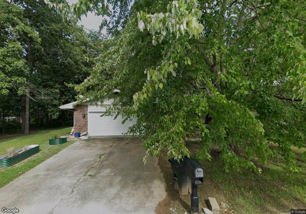
1522 Frank St Hannibal, MO 63401
Estimated Value: $205,000 - $213,000
3
Beds
1
Bath
1,606
Sq Ft
$131/Sq Ft
Est. Value
About This Home
This home is located at 1522 Frank St, Hannibal, MO 63401 and is currently estimated at $209,622, approximately $130 per square foot. 1522 Frank St is a home with nearby schools including Hannibal Senior High School, St. John's Lutheran School, and Holy Family School.
Ownership History
Date
Name
Owned For
Owner Type
Purchase Details
Closed on
May 30, 2024
Sold by
Roedner Terrie Ann and Phillips Linda Sue
Bought by
Lee Raymond C
Current Estimated Value
Purchase Details
Closed on
Aug 22, 2022
Sold by
Terri Roednier
Bought by
Lee Raymond
Purchase Details
Closed on
May 22, 2014
Sold by
Hnb Bank
Bought by
Roedner Terrie Ann and Roedner Linda Sue
Create a Home Valuation Report for This Property
The Home Valuation Report is an in-depth analysis detailing your home's value as well as a comparison with similar homes in the area
Home Values in the Area
Average Home Value in this Area
Purchase History
| Date | Buyer | Sale Price | Title Company |
|---|---|---|---|
| Lee Raymond C | -- | None Listed On Document | |
| Lee Raymond | $3,542 | None Listed On Document | |
| Roedner Terrie Ann | -- | None Available |
Source: Public Records
Tax History Compared to Growth
Tax History
| Year | Tax Paid | Tax Assessment Tax Assessment Total Assessment is a certain percentage of the fair market value that is determined by local assessors to be the total taxable value of land and additions on the property. | Land | Improvement |
|---|---|---|---|---|
| 2024 | $1,393 | $20,880 | $1,110 | $19,770 |
| 2023 | $1,304 | $20,880 | $1,110 | $19,770 |
| 2022 | $1,301 | $20,880 | $1,110 | $19,770 |
| 2021 | $1,293 | $20,880 | $1,110 | $19,770 |
| 2020 | $1,205 | $18,980 | $1,010 | $17,970 |
| 2019 | $1,202 | $18,980 | $1,010 | $17,970 |
| 2018 | $1,199 | $18,980 | $1,010 | $17,970 |
| 2017 | $1,171 | $18,980 | $1,010 | $17,970 |
| 2015 | $999 | $18,980 | $1,010 | $17,970 |
| 2014 | $999 | $18,980 | $1,010 | $17,970 |
| 2012 | -- | $18,980 | $0 | $0 |
Source: Public Records
Map
Nearby Homes
- 1608 Singleton Ave
- 1716 36th St
- 3710 Tilden St
- 3 Lot 3 Ismail Estates
- 1927 Owens Ave
- 1 Lot 1 Ismail Estates
- 116 Stone Ridge Dr
- 115 Stone Ridge Dr
- 2606 Hope St
- 0 Minnow St
- 2210 Spruce St
- 19 Kitlaw Dr
- 18 Kitlaw Dr
- 6 State Route O
- 3149 James Rd
- 73 New London Gravel Rd
- 2101 Spruce St
- 1906-1910 Spruce St
- 809 Lindell Ave
- 2003 Spruce St
- 1524 Frank St
- 0 Frank St
- 1523 Frank St
- 1606 Frank St
- 3300 Susan Dr
- 1605 Singleton Ave
- 1 Frank
- 1525 Singleton Ave
- 1607 Singleton Ave
- 3304 Susan Dr
- 1609 Singleton Ave
- 3220 Susan Dr
- 1526 Nancy Dr
- 1500 Singleton Ave
- 1604 Singleton Ave
- 1530 Nancy Dr
- 3221 Susan Dr
- 1521 Frank St
- 1618 Singleton Ave
- 1620 Singleton Ave