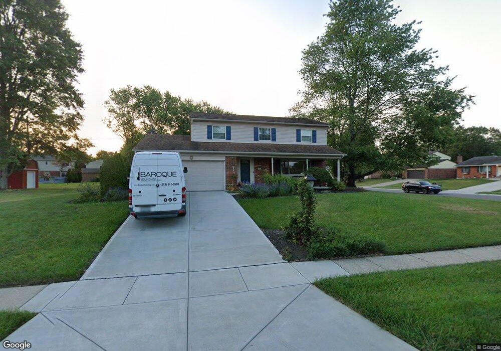
1522 Laval Dr Cincinnati, OH 45255
Estimated Value: $356,000 - $432,000
4
Beds
3
Baths
2,464
Sq Ft
$158/Sq Ft
Est. Value
About This Home
This home is located at 1522 Laval Dr, Cincinnati, OH 45255 and is currently estimated at $388,371, approximately $157 per square foot. 1522 Laval Dr is a home located in Hamilton County with nearby schools including Summit Elementary School, Nagel Middle School, and Anderson High School.
Ownership History
Date
Name
Owned For
Owner Type
Purchase Details
Closed on
Jul 5, 1996
Sold by
Harrell Gary M and Harrell Graciela A
Bought by
Smarelli David J and Smarelli Brenda F
Current Estimated Value
Home Financials for this Owner
Home Financials are based on the most recent Mortgage that was taken out on this home.
Original Mortgage
$102,000
Interest Rate
8.3%
Create a Home Valuation Report for This Property
The Home Valuation Report is an in-depth analysis detailing your home's value as well as a comparison with similar homes in the area
Home Values in the Area
Average Home Value in this Area
Purchase History
| Date | Buyer | Sale Price | Title Company |
|---|---|---|---|
| Smarelli David J | $128,000 | -- |
Source: Public Records
Mortgage History
| Date | Status | Borrower | Loan Amount |
|---|---|---|---|
| Previous Owner | Smarelli David J | $102,000 |
Source: Public Records
Tax History
| Year | Tax Paid | Tax Assessment Tax Assessment Total Assessment is a certain percentage of the fair market value that is determined by local assessors to be the total taxable value of land and additions on the property. | Land | Improvement |
|---|---|---|---|---|
| 2025 | $6,512 | $104,122 | $19,838 | $84,284 |
| 2024 | $6,329 | $104,122 | $19,838 | $84,284 |
| 2023 | $6,020 | $104,122 | $19,838 | $84,284 |
| 2022 | $4,520 | $69,574 | $17,245 | $52,329 |
| 2021 | $4,413 | $69,574 | $17,245 | $52,329 |
| 2020 | $4,464 | $69,574 | $17,245 | $52,329 |
| 2019 | $4,352 | $61,569 | $15,260 | $46,309 |
| 2018 | $4,077 | $61,569 | $15,260 | $46,309 |
| 2017 | $3,845 | $61,569 | $15,260 | $46,309 |
| 2016 | $3,758 | $58,783 | $14,956 | $43,827 |
| 2015 | $3,650 | $58,783 | $14,956 | $43,827 |
| 2014 | $3,653 | $58,783 | $14,956 | $43,827 |
| 2013 | $3,524 | $59,983 | $15,260 | $44,723 |
Source: Public Records
Map
Nearby Homes
- 1747 Summithills Dr
- 4077 Mclean Dr
- 4047 Mclean Dr
- 1333 Eight Mile Rd
- 8488 Holiday Hills Dr
- 8345 Cherry Ln
- 1847 Eight Mile Rd
- 1400 Sigma Cir
- 532 Sugar Maple Ct
- 8512 Prilla Ln
- 439 Mcintosh Dr
- 8190 Bonanza Ln
- 492 Mapleleaf Dr
- 425 Mcintosh Dr Unit 22A
- 496 Mapleleaf Dr
- 0 Clough Pike Unit 1861584
- 4182 Mount Carmel Tobasco Rd
- 8303 Tidewater Ct
- 8022 Stonegate Dr
- 8146 Clough Pike
- 8626 Northport Dr
- 1556 Laval Dr
- 1523 Laval Dr
- 1551 Laval Dr
- 8671 Fordham Ct
- 1566 Laval Dr
- 8607 Northport Dr
- 1559 Laval Dr
- 8619 Northport Dr
- 8650 Northport Dr
- 8588 Northport Dr
- 8599 Northport Dr
- 8665 Fordham Ct
- 8633 Northport Dr
- 8677 Fordham Ct
- 1574 Laval Dr
- 1569 Laval Dr
- 8591 Northport Dr
- 8645 Northport Dr
- 8662 Northport Dr
Your Personal Tour Guide
Ask me questions while you tour the home.