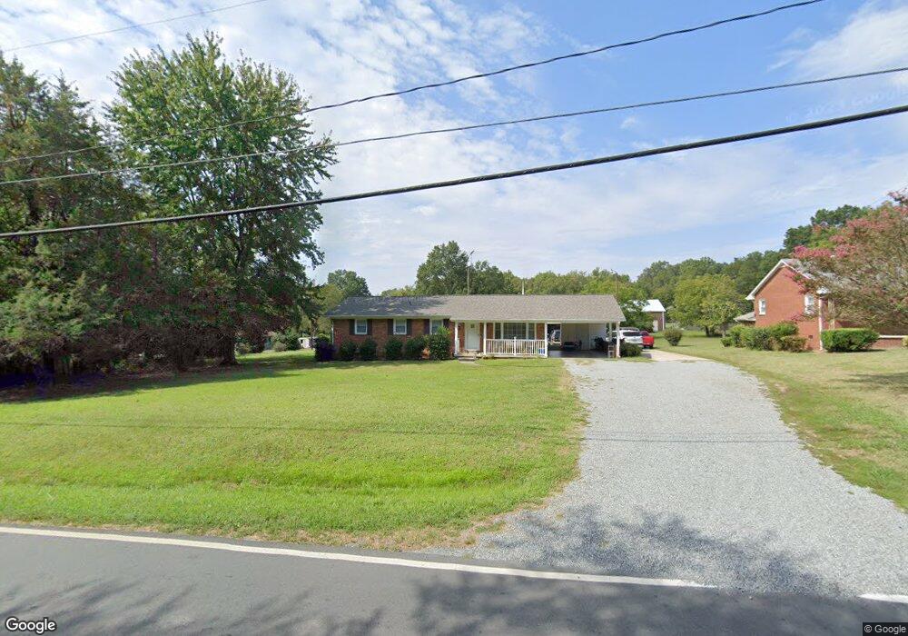
1522 Morgantown Rd Burlington, NC 27217
North Burlington NeighborhoodEstimated Value: $190,000 - $218,000
3
Beds
2
Baths
1,175
Sq Ft
$177/Sq Ft
Est. Value
About This Home
This home is located at 1522 Morgantown Rd, Burlington, NC 27217 and is currently estimated at $207,906, approximately $176 per square foot. 1522 Morgantown Rd is a home located in Alamance County with nearby schools including Hillcrest Elementary School, Western Alamance Middle School, and Western Alamance High School.
Ownership History
Date
Name
Owned For
Owner Type
Purchase Details
Closed on
Oct 5, 2017
Sold by
Miles Adolphus Ophield and Miles Evelyn J
Bought by
Miles Christopher L and Corbett Sonia M
Current Estimated Value
Purchase Details
Closed on
Jan 1, 2017
Sold by
Miles Adolphus Ophield and Miles Evelyn J
Bought by
Miles Adolphus Ophield and Miles Evelyn J
Purchase Details
Closed on
Jan 1, 1990
Bought by
Miles Adolphus O Evelyn
Create a Home Valuation Report for This Property
The Home Valuation Report is an in-depth analysis detailing your home's value as well as a comparison with similar homes in the area
Home Values in the Area
Average Home Value in this Area
Purchase History
| Date | Buyer | Sale Price | Title Company |
|---|---|---|---|
| Miles Christopher L | -- | None Available | |
| Miles Adolphus Ophield | -- | None Available | |
| Miles Adolphus O Evelyn | -- | -- |
Source: Public Records
Tax History Compared to Growth
Tax History
| Year | Tax Paid | Tax Assessment Tax Assessment Total Assessment is a certain percentage of the fair market value that is determined by local assessors to be the total taxable value of land and additions on the property. | Land | Improvement |
|---|---|---|---|---|
| 2025 | $867 | $175,414 | $20,000 | $155,414 |
| 2024 | $823 | $175,414 | $20,000 | $155,414 |
| 2023 | $1,598 | $175,414 | $20,000 | $155,414 |
| 2022 | $940 | $75,777 | $8,000 | $67,777 |
| 2021 | $948 | $75,777 | $8,000 | $67,777 |
| 2020 | $951 | $75,777 | $8,000 | $67,777 |
| 2019 | $958 | $75,777 | $8,000 | $67,777 |
| 2018 | $540 | $90,850 | $8,000 | $82,850 |
| 2017 | $524 | $90,850 | $8,000 | $82,850 |
| 2016 | $1,138 | $98,099 | $20,000 | $78,099 |
| 2015 | -- | $98,099 | $20,000 | $78,099 |
| 2014 | -- | $98,099 | $20,000 | $78,099 |
Source: Public Records
Map
Nearby Homes
- 234 Foster St
- 237 Foster St
- 501 Morgan Terrace
- 1615 Preston St
- 00 Lower Hopedale Rd
- TBD Hooker St
- 1725 Glenn St
- 1205 Jackson St
- 1016 Rauhut St
- 1812 N Nc Highway 62
- 191 Prairie Ct
- 261 Plains Dr
- 261 Plains Dr Unit Lot 263
- 253 Plains Dr
- 253 Plains Dr Unit Lot 264
- 258 Plains Dr
- 258 Plains Dr Unit Lot 315
- 238 Plains Dr Unit Lot 313
- 238 Plains Dr
- 1012 Short St
- 1530 Morgantown Rd
- 1530 Morgantown Rd
- 1005 Sharpe Rd
- 1007 Sharpe Rd
- 1003 Sharpe Rd
- 1013 Sharpe Rd
- 1009 Sharpe Rd
- 0 Sharpe Rd
- 1011 Sharpe Rd
- 1548 Morgantown Rd
- 0 Nc Hwy 62n
- 1292 Rauhut St
- 1002 Sharpe Rd
- 1014 Sharpe Rd
- 1004 Sharpe Rd
- 1562 Morgantown Rd
- 1021 Sharpe Rd
- 1222 Rauhut St
- 1373 Rauhut St
- 120 Long Ave