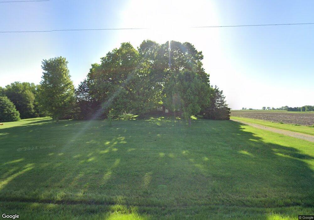
1522 N 2500 East Rd Moweaqua, IL 62550
Estimated Value: $238,000 - $251,000
3
Beds
--
Bath
1,044
Sq Ft
$233/Sq Ft
Est. Value
About This Home
This home is located at 1522 N 2500 East Rd, Moweaqua, IL 62550 and is currently estimated at $243,543, approximately $233 per square foot. 1522 N 2500 East Rd is a home located in Christian County with nearby schools including Central A&M High School.
Ownership History
Date
Name
Owned For
Owner Type
Purchase Details
Closed on
Apr 6, 2019
Sold by
Harmon Randall J and Harmon Lisa M
Bought by
Burrus Paul M
Current Estimated Value
Home Financials for this Owner
Home Financials are based on the most recent Mortgage that was taken out on this home.
Original Mortgage
$80,500
Outstanding Balance
$70,630
Interest Rate
4.2%
Mortgage Type
New Conventional
Estimated Equity
$172,913
Purchase Details
Closed on
Jul 1, 2001
Bought by
Harmon Randall J and Harmon Lisa M
Create a Home Valuation Report for This Property
The Home Valuation Report is an in-depth analysis detailing your home's value as well as a comparison with similar homes in the area
Home Values in the Area
Average Home Value in this Area
Purchase History
| Date | Buyer | Sale Price | Title Company |
|---|---|---|---|
| Burrus Paul M | $152,000 | -- | |
| Harmon Randall J | $128,000 | -- |
Source: Public Records
Mortgage History
| Date | Status | Borrower | Loan Amount |
|---|---|---|---|
| Open | Burrus Paul M | $80,500 |
Source: Public Records
Tax History Compared to Growth
Tax History
| Year | Tax Paid | Tax Assessment Tax Assessment Total Assessment is a certain percentage of the fair market value that is determined by local assessors to be the total taxable value of land and additions on the property. | Land | Improvement |
|---|---|---|---|---|
| 2024 | $3,658 | $58,700 | $15,439 | $43,261 |
| 2023 | $3,437 | $55,118 | $14,497 | $40,621 |
| 2022 | $3,011 | $50,567 | $13,300 | $37,267 |
| 2021 | $3,228 | $53,251 | $11,763 | $41,488 |
| 2020 | $3,241 | $53,251 | $11,763 | $41,488 |
| 2019 | $3,427 | $53,251 | $11,763 | $41,488 |
| 2018 | $3,540 | $51,460 | $11,367 | $40,093 |
| 2017 | $3,202 | $46,821 | $11,382 | $35,439 |
| 2016 | $3,138 | $45,903 | $11,159 | $34,744 |
| 2015 | $3,027 | $44,078 | $10,716 | $33,362 |
| 2014 | $2,872 | $43,150 | $10,490 | $32,660 |
| 2013 | $2,985 | $44,370 | $10,333 | $34,037 |
| 2011 | $2,995 | $44,370 | $10,333 | $34,037 |
Source: Public Records
Map
Nearby Homes
- 325 N Poplar St
- 225 E North St
- 107 S Saint John St
- 116 S Saint John St
- 107 S Oak St
- 120 S Walnut St
- 647 E 2100 Rd N
- 207 Kemmerer St
- Lot 2 Baxmeyer Ln
- Lot 14 Baxmeyer Ln
- Lot 4 Baxmeyer Ln
- Lot 15 Baxmeyer Ln
- Lot 6 Baxmeyer Ln
- Lot 8 Baxmeyer Ln
- Lot 9 Baxmeyer Ln
- Lot 11 Baxmeyer Ln
- Lot 12 Baxmeyer Ln
- Lot 7 Baxmeyer Ln
- Lot 16 Baxmeyer Ln
- Lot 13 Baxmeyer Ln