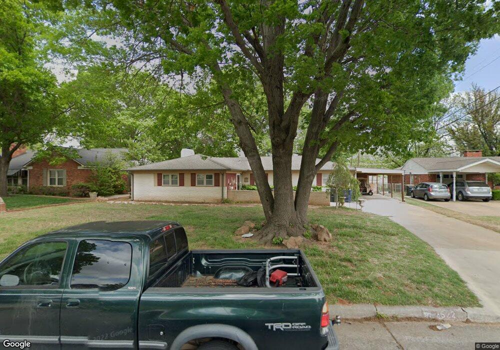
1522 Pearl St Duncan, OK 73533
Estimated Value: $196,000 - $297,000
2
Beds
2
Baths
2,316
Sq Ft
$100/Sq Ft
Est. Value
About This Home
This home is located at 1522 Pearl St, Duncan, OK 73533 and is currently estimated at $231,840, approximately $100 per square foot. 1522 Pearl St is a home located in Stephens County with nearby schools including Plato Elementary School, Duncan Middle School, and Duncan High School.
Ownership History
Date
Name
Owned For
Owner Type
Purchase Details
Closed on
Oct 4, 2002
Sold by
Laminack Billie D
Bought by
Bardsher Tommy W and Bardsher Tonya L
Current Estimated Value
Purchase Details
Closed on
Feb 20, 2002
Sold by
Laminack Billie D
Create a Home Valuation Report for This Property
The Home Valuation Report is an in-depth analysis detailing your home's value as well as a comparison with similar homes in the area
Home Values in the Area
Average Home Value in this Area
Purchase History
| Date | Buyer | Sale Price | Title Company |
|---|---|---|---|
| Bardsher Tommy W | $80,000 | -- | |
| -- | -- | -- |
Source: Public Records
Tax History Compared to Growth
Tax History
| Year | Tax Paid | Tax Assessment Tax Assessment Total Assessment is a certain percentage of the fair market value that is determined by local assessors to be the total taxable value of land and additions on the property. | Land | Improvement |
|---|---|---|---|---|
| 2025 | $1,326 | $16,716 | $1,367 | $15,349 |
| 2024 | $1,297 | $16,229 | $1,367 | $14,862 |
| 2023 | $1,297 | $15,756 | $1,367 | $14,389 |
| 2022 | $1,217 | $15,772 | $1,367 | $14,405 |
| 2021 | $1,127 | $14,241 | $1,367 | $12,874 |
| 2020 | $1,128 | $14,061 | $1,279 | $12,782 |
| 2019 | $1,094 | $13,651 | $1,164 | $12,487 |
| 2018 | $1,091 | $13,651 | $1,144 | $12,507 |
| 2017 | $1,020 | $13,254 | $1,070 | $12,184 |
| 2016 | $977 | $12,493 | $977 | $11,516 |
| 2015 | $884 | $12,129 | $951 | $11,178 |
| 2014 | $884 | $11,776 | $926 | $10,850 |
Source: Public Records
Map
Nearby Homes
- 1404 1404 Ne Aspen
- 1527 1527 N 13th
- 1601 1601 Pearl
- 1405 Evergreen Dr
- 1508 N 13th St
- 1402 1402 W Elk Ave
- 1107 W Elk Ave
- 1412 N 12th St
- 1706 Windsor Dr
- 2110 W Club Rd
- 1606 Northridge Dr
- 2201 W Club Rd
- 1202 N Grand Blvd
- 807 Columbus Place
- 1302 N 21st St
- 1807 W Chisholm Dr
- 2120 2120 Flamingo Ln
- 1902 W Randall Ave
- 2106 Carolin Dr
- 1212 1212 N 21st