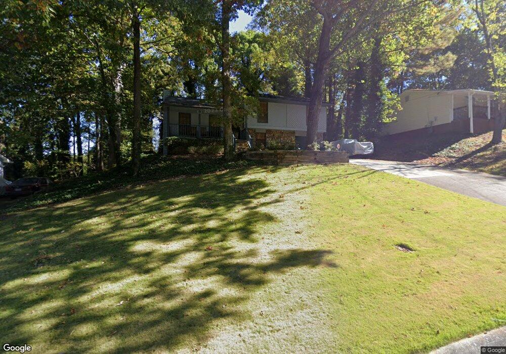
1522 Spender Dr Unit 1 Norcross, GA 30093
Estimated Value: $252,000 - $386,000
3
Beds
3
Baths
1,206
Sq Ft
$280/Sq Ft
Est. Value
About This Home
This home is located at 1522 Spender Dr Unit 1, Norcross, GA 30093 and is currently estimated at $337,802, approximately $280 per square foot. 1522 Spender Dr Unit 1 is a home located in Gwinnett County with nearby schools including Graves Elementary School, Louise Radloff Middle School, and Meadowcreek High School.
Ownership History
Date
Name
Owned For
Owner Type
Purchase Details
Closed on
Jul 20, 2018
Sold by
Lambert Alfred
Bought by
Lambert Carolyn
Current Estimated Value
Purchase Details
Closed on
Dec 19, 1997
Sold by
Tesney Danny
Bought by
Liberatore Joe
Home Financials for this Owner
Home Financials are based on the most recent Mortgage that was taken out on this home.
Original Mortgage
$93,455
Interest Rate
7.23%
Mortgage Type
FHA
Purchase Details
Closed on
Nov 18, 1996
Sold by
Golway Robert W
Bought by
Lambert Alfred
Create a Home Valuation Report for This Property
The Home Valuation Report is an in-depth analysis detailing your home's value as well as a comparison with similar homes in the area
Home Values in the Area
Average Home Value in this Area
Purchase History
| Date | Buyer | Sale Price | Title Company |
|---|---|---|---|
| Lambert Carolyn | $147,700 | -- | |
| Liberatore Joe | $198,400 | -- | |
| Lambert Alfred | $92,200 | -- |
Source: Public Records
Mortgage History
| Date | Status | Borrower | Loan Amount |
|---|---|---|---|
| Previous Owner | Liberatore Joe | $93,455 | |
| Closed | Lambert Alfred | $0 |
Source: Public Records
Tax History Compared to Growth
Tax History
| Year | Tax Paid | Tax Assessment Tax Assessment Total Assessment is a certain percentage of the fair market value that is determined by local assessors to be the total taxable value of land and additions on the property. | Land | Improvement |
|---|---|---|---|---|
| 2025 | $3,747 | $130,400 | $21,120 | $109,280 |
| 2024 | $3,729 | $123,760 | $21,120 | $102,640 |
| 2023 | $3,729 | $104,160 | $24,000 | $80,160 |
| 2022 | $2,715 | $76,480 | $19,200 | $57,280 |
| 2021 | $2,745 | $76,480 | $19,200 | $57,280 |
| 2020 | $2,705 | $73,840 | $14,560 | $59,280 |
| 2019 | $2,705 | $68,200 | $14,560 | $53,640 |
| 2018 | $1,918 | $59,080 | $12,000 | $47,080 |
| 2016 | $1,633 | $44,920 | $10,000 | $34,920 |
| 2015 | $1,380 | $35,480 | $7,200 | $28,280 |
| 2014 | $1,386 | $35,480 | $7,200 | $28,280 |
Source: Public Records
Map
Nearby Homes
- 1576 Village Dr
- 1596 Village Dr
- 6419 Danbury Ln
- 1561 Danbury Dr
- 6606 Wellington Square
- 6622 Wellington Square
- 6668 E Windsor Ln
- 3321 S Norcross Tucker Rd
- 6630 Witherington Ct Unit 601
- 6636 Witherington Ct NW
- 6636 Witherington Ct
- 6711 Colchester Place
- 6715 Colchester Place
- 6658 Witherington Ct NW
- 6716 Colchester Place
- 6718 Colchester Place Unit 205
- 1382 Branch Dr
- 1371 Dogwood Ln
- 6734 Graves Mill Dr
- 1797 Brookside Lay Cir
- 1528 Spender Dr
- 1516 Spender Dr
- 1534 Spender Dr
- 1534 Spender Dr Unit 1
- 6412 Van Eyck Way
- 6418 Van Eyck Way
- 1525 Spender Dr Unit 1
- 1519 Spender Dr
- 1531 Spender Dr
- 6406 Van Eyck Way
- 1506 Spender Dr
- 1540 Spender Dr
- 6424 Van Eyck Way
- 1537 Spender Dr
- 1513 Spender Dr
- 6430 Van Eyck Way
- 1505 Spender Dr Unit 1
- 1545 Spender Dr Unit 1
- 6440 Van Eyck Way Unit 1
- 6450 Van Eyck Way Unit 1