Estimated Value: $472,000 - $604,285
4
Beds
3
Baths
3,014
Sq Ft
$175/Sq Ft
Est. Value
About This Home
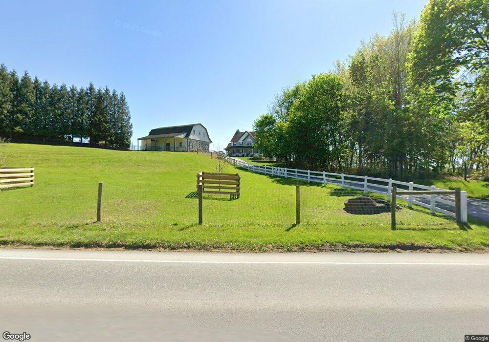
This home is located at 1522 W Kings Hwy, Gap, PA 17527 and is currently estimated at $527,571, approximately $175 per square foot. 1522 W Kings Hwy is a home located in Chester County with nearby schools including Kings Highway Elementary School, Coatesville Intermediate High School, and Coatesville Area Senior High School.
Ownership History
Date
Name
Owned For
Owner Type
Purchase Details
Closed on
Jun 21, 2000
Sold by
Esh John G and Esh Lydia L
Bought by
Esh John G and Esh Lydia L
Current Estimated Value
Home Financials for this Owner
Home Financials are based on the most recent Mortgage that was taken out on this home.
Original Mortgage
$205,000
Interest Rate
8.48%
Mortgage Type
Balloon
Purchase Details
Closed on
Mar 29, 1999
Sold by
Burt Arthur A
Bought by
Esh John G and Esh Lydia L
Create a Home Valuation Report for This Property
The Home Valuation Report is an in-depth analysis detailing your home's value as well as a comparison with similar homes in the area
Home Values in the Area
Average Home Value in this Area
Purchase History
| Date | Buyer | Sale Price | Title Company |
|---|---|---|---|
| Esh John G | -- | -- | |
| Esh John G | $50,000 | -- |
Source: Public Records
Mortgage History
| Date | Status | Borrower | Loan Amount |
|---|---|---|---|
| Closed | Esh John G | $205,000 |
Source: Public Records
Tax History Compared to Growth
Tax History
| Year | Tax Paid | Tax Assessment Tax Assessment Total Assessment is a certain percentage of the fair market value that is determined by local assessors to be the total taxable value of land and additions on the property. | Land | Improvement |
|---|---|---|---|---|
| 2025 | $9,691 | $196,290 | $40,460 | $155,830 |
| 2024 | $9,691 | $196,290 | $40,460 | $155,830 |
| 2023 | $9,328 | $196,290 | $40,460 | $155,830 |
| 2022 | $8,881 | $196,290 | $40,460 | $155,830 |
| 2021 | $8,735 | $196,290 | $40,460 | $155,830 |
| 2020 | $8,553 | $196,290 | $40,460 | $155,830 |
| 2019 | $8,268 | $196,290 | $40,460 | $155,830 |
| 2018 | $7,907 | $196,290 | $40,460 | $155,830 |
| 2017 | $7,622 | $196,290 | $40,460 | $155,830 |
| 2016 | $6,319 | $196,290 | $40,460 | $155,830 |
| 2015 | $6,319 | $196,290 | $40,460 | $155,830 |
| 2014 | $6,319 | $196,290 | $40,460 | $155,830 |
Source: Public Records
Map
Nearby Homes
- 127 Beacon Light Rd
- 317 Compass Rd
- 180 Lilly Rd
- 216 Michael Rd
- 116 Cambridge Rd
- 108 Cambridge Rd
- 14 Blue Spruce Dr
- 2200 Beaver Dam Rd
- 115 Durham Dr
- 110 Hillbrook Dr
- 291 N Sandy Hill Rd
- 726 Jeb Dr
- 230 Rock Rd
- 5589 Old Philadelphia Pike
- 471 Ash Rd
- 108 Meetinghouse Rd
- 114 Wendy Cir
- 345 Kauffroth Rd
- 0 Cambridge Rd
- 283 Cambridge Rd
- 3401 Compass Rd
- 6154 Old Philadelphia Pike
- 3409 Compass Rd
- 6151 Old Philadelphia Pike
- 6145 Old Philadelphia Pike
- 3406 Compass Rd
- 1505 W Kings Hwy
- 3410 Compass Rd
- 1501 W Kings Hwy
- 1425 W Kings Hwy
- 3414 Compass Rd
- 222 Octorara Trail
- 1418 W Kings Hwy
- 6141 Old Philadelphia Pike
- 3418 Compass Rd
- 3427 Compass Rd
- 1406 W Kings Hwy
- 3422 Compass Rd
- 1413 W Kings Hwy
- 1409 W Kings Hwy