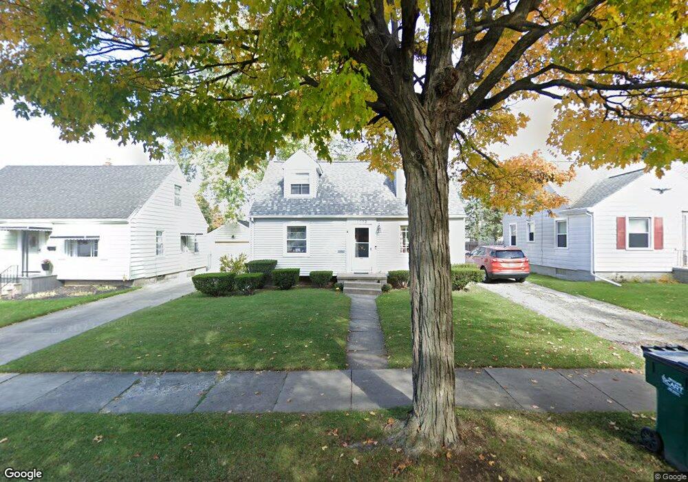
1522 W Rundle Ave Lansing, MI 48910
Colonial Village NeighborhoodEstimated Value: $145,000 - $189,000
--
Bed
--
Bath
1,013
Sq Ft
$163/Sq Ft
Est. Value
About This Home
This home is located at 1522 W Rundle Ave, Lansing, MI 48910 and is currently estimated at $164,870, approximately $162 per square foot. 1522 W Rundle Ave is a home located in Ingham County with nearby schools including Averill Elementary School, Attwood School, and J.W. Sexton High School.
Ownership History
Date
Name
Owned For
Owner Type
Purchase Details
Closed on
Dec 7, 2001
Sold by
Cantrell Patricia A and Cantrell Patricia K
Bought by
Cantrell Mark A
Current Estimated Value
Home Financials for this Owner
Home Financials are based on the most recent Mortgage that was taken out on this home.
Original Mortgage
$43,000
Interest Rate
6.53%
Mortgage Type
Purchase Money Mortgage
Create a Home Valuation Report for This Property
The Home Valuation Report is an in-depth analysis detailing your home's value as well as a comparison with similar homes in the area
Home Values in the Area
Average Home Value in this Area
Purchase History
| Date | Buyer | Sale Price | Title Company |
|---|---|---|---|
| Cantrell Mark A | -- | -- |
Source: Public Records
Mortgage History
| Date | Status | Borrower | Loan Amount |
|---|---|---|---|
| Closed | Cantrell Mark A | $43,000 |
Source: Public Records
Tax History Compared to Growth
Tax History
| Year | Tax Paid | Tax Assessment Tax Assessment Total Assessment is a certain percentage of the fair market value that is determined by local assessors to be the total taxable value of land and additions on the property. | Land | Improvement |
|---|---|---|---|---|
| 2025 | $3,107 | $70,100 | $8,600 | $61,500 |
| 2024 | $25 | $70,400 | $8,600 | $61,800 |
| 2023 | $2,913 | $62,700 | $8,600 | $54,100 |
| 2022 | $2,626 | $56,800 | $7,400 | $49,400 |
| 2021 | $2,571 | $51,900 | $5,700 | $46,200 |
| 2020 | $2,556 | $49,800 | $5,700 | $44,100 |
| 2019 | $2,450 | $43,800 | $5,700 | $38,100 |
| 2018 | $2,296 | $43,100 | $5,700 | $37,400 |
| 2017 | $2,198 | $43,100 | $5,700 | $37,400 |
| 2016 | $2,102 | $39,400 | $5,700 | $33,700 |
| 2015 | $2,102 | $38,400 | $11,342 | $27,058 |
| 2014 | $2,102 | $37,700 | $8,876 | $28,824 |
Source: Public Records
Map
Nearby Homes
- 1618 Loraine Ave
- 1404 Kelsey Ave
- 1607 Holly Way
- 1120 Kelsey Ave
- 1420 Poxson Ave
- 2118 Marion Ave
- 2515 S Martin Luther King Junior Blvd
- 1032 Kelsey Ave
- 2039 Holly Way
- 3125 Boston Blvd
- 2310 Stirling Ave
- 2421 Stirling Ave
- 2011 S Martin Luther King jr Blvd
- 1312 W Mount Hope Ave
- 1315 Goodrich St
- 924 Loa St
- 2812 Pleasant Grove Rd
- 2112 Stirling Ave
- 815 Woodbine Ave
- 2920 Pleasant Grove Rd Unit 1
- 1526 W Rundle Ave
- 1516 W Rundle Ave
- 1602 W Rundle Ave
- 1521 Loraine Ave
- 1510 W Rundle Ave
- 1517 Loraine Ave
- 1527 Loraine Ave
- 1606 W Rundle Ave
- 1605 Loraine Ave
- 1511 Loraine Ave
- 1523 W Rundle Ave
- 1527 W Rundle Ave
- 1519 W Rundle Ave
- 1603 W Rundle Ave
- 1515 W Rundle Ave
- 1610 W Rundle Ave
- 2614 Pattengill Ave
- 1609 Loraine Ave
- 2608 Pattengill Ave
- 1607 W Rundle Ave