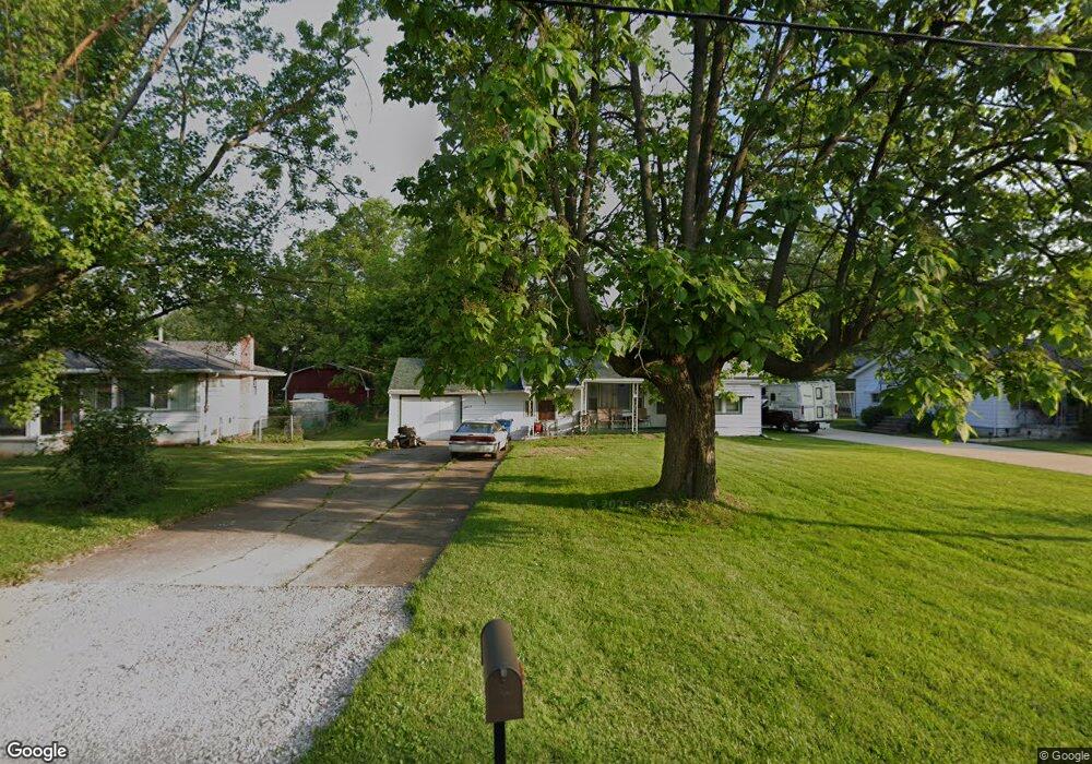
1522 Weaver Rd Amherst, OH 44001
Estimated Value: $173,000 - $194,000
3
Beds
2
Baths
1,192
Sq Ft
$152/Sq Ft
Est. Value
About This Home
This home is located at 1522 Weaver Rd, Amherst, OH 44001 and is currently estimated at $181,760, approximately $152 per square foot. 1522 Weaver Rd is a home located in Lorain County with nearby schools including Powers Elementary School, Walter G. Nord Middle School, and Amherst Junior High School.
Ownership History
Date
Name
Owned For
Owner Type
Purchase Details
Closed on
Oct 2, 2020
Sold by
Hall Wanda L
Bought by
Dotson Roy and Dotson Jewell Ann
Current Estimated Value
Purchase Details
Closed on
Aug 31, 2019
Sold by
Hall Kevin
Bought by
Hall Wanda L
Purchase Details
Closed on
Jul 2, 2019
Sold by
Hall Wanda L
Bought by
Hall Wanda L and Hall Kevin
Purchase Details
Closed on
Mar 20, 2008
Sold by
Bentley Tim and Bentley Carolee
Bought by
Hall Billy J and Hall Wanda L
Purchase Details
Closed on
Jul 17, 2007
Sold by
Estate Of Tressie Hall
Bought by
Hall Billy J and Regan Anthony
Create a Home Valuation Report for This Property
The Home Valuation Report is an in-depth analysis detailing your home's value as well as a comparison with similar homes in the area
Home Values in the Area
Average Home Value in this Area
Purchase History
| Date | Buyer | Sale Price | Title Company |
|---|---|---|---|
| Dotson Roy | $39,000 | None Available | |
| Hall Wanda L | -- | None Available | |
| Hall Wanda L | -- | None Available | |
| Hall Billy J | $54,700 | Newman Title | |
| Hall Billy J | -- | None Available |
Source: Public Records
Tax History Compared to Growth
Tax History
| Year | Tax Paid | Tax Assessment Tax Assessment Total Assessment is a certain percentage of the fair market value that is determined by local assessors to be the total taxable value of land and additions on the property. | Land | Improvement |
|---|---|---|---|---|
| 2024 | $2,210 | $53,424 | $14,739 | $38,686 |
| 2023 | $2,055 | $41,853 | $11,036 | $30,818 |
| 2022 | $1,973 | $41,853 | $11,036 | $30,818 |
| 2021 | $1,978 | $41,853 | $11,036 | $30,818 |
| 2020 | $1,939 | $36,420 | $9,600 | $26,820 |
| 2019 | $1,901 | $36,420 | $9,600 | $26,820 |
| 2018 | $1,880 | $36,420 | $9,600 | $26,820 |
| 2017 | $1,849 | $33,070 | $8,450 | $24,620 |
| 2016 | $1,864 | $33,070 | $8,450 | $24,620 |
| 2015 | $1,855 | $33,070 | $8,450 | $24,620 |
| 2014 | $1,743 | $30,910 | $7,900 | $23,010 |
| 2013 | $1,748 | $30,910 | $7,900 | $23,010 |
Source: Public Records
Map
Nearby Homes
- 45305 N Ridge Rd
- 127 Tropicana Ave
- 6333 Juniper Dr
- Poplar Plan at Quarry Creek
- Pine w/ Full Basement Plan at Quarry Creek
- 117 Caesars Cir
- 724 Hampshire Ct
- 41 Flamingo Ave
- 60 Flamingo Ave
- 5208 7 Pines Dr
- 8 Riviera Ave
- 5204 7 Pines Dr
- 1273 Spruce Tree Ln
- 6394 Balsam Dr
- 4977-4985 Oberlin Ave
- 5915 Clement Dr
- 0 Allandale Dr
- 4610 Ashland Ave
- 4872 Leavitt Rd
- 922 Sharondale Dr