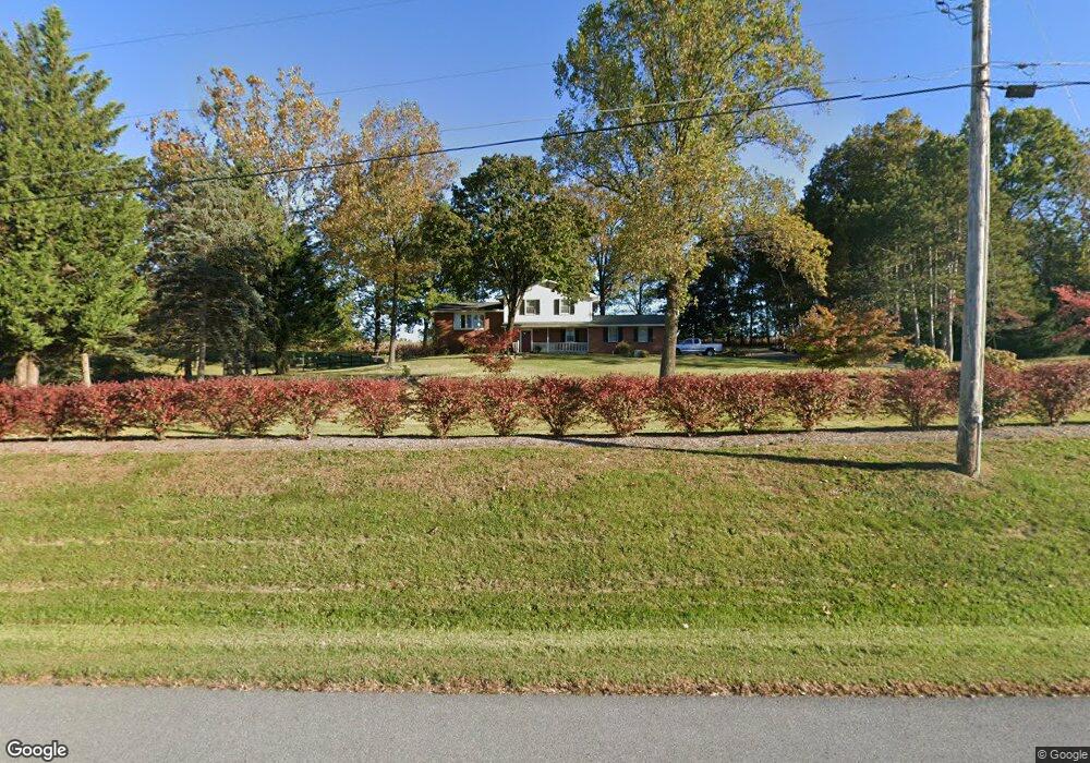
15222 Liberty Rd Mount Airy, MD 21771
Estimated Value: $446,125 - $561,000
--
Bed
3
Baths
1,752
Sq Ft
$290/Sq Ft
Est. Value
About This Home
This home is located at 15222 Liberty Rd, Mount Airy, MD 21771 and is currently estimated at $508,031, approximately $289 per square foot. 15222 Liberty Rd is a home located in Frederick County with nearby schools including Liberty Elementary School, New Market Middle School, and Linganore High School.
Ownership History
Date
Name
Owned For
Owner Type
Purchase Details
Closed on
Oct 30, 1985
Sold by
Thiebes Geo K and Thiebes Rosemarie
Bought by
Quick John H Dorcas Haines
Current Estimated Value
Home Financials for this Owner
Home Financials are based on the most recent Mortgage that was taken out on this home.
Original Mortgage
$92,150
Interest Rate
12.07%
Create a Home Valuation Report for This Property
The Home Valuation Report is an in-depth analysis detailing your home's value as well as a comparison with similar homes in the area
Home Values in the Area
Average Home Value in this Area
Purchase History
| Date | Buyer | Sale Price | Title Company |
|---|---|---|---|
| Quick John H Dorcas Haines | $96,100 | -- |
Source: Public Records
Mortgage History
| Date | Status | Borrower | Loan Amount |
|---|---|---|---|
| Closed | Quick John H Dorcas Haines | $92,150 |
Source: Public Records
Tax History Compared to Growth
Tax History
| Year | Tax Paid | Tax Assessment Tax Assessment Total Assessment is a certain percentage of the fair market value that is determined by local assessors to be the total taxable value of land and additions on the property. | Land | Improvement |
|---|---|---|---|---|
| 2025 | $3,882 | $352,500 | $144,500 | $208,000 |
| 2024 | $3,882 | $327,633 | $0 | $0 |
| 2023 | $3,549 | $302,767 | $0 | $0 |
| 2022 | $3,376 | $277,900 | $103,000 | $174,900 |
| 2021 | $3,273 | $273,500 | $0 | $0 |
| 2020 | $3,273 | $269,100 | $0 | $0 |
| 2019 | $3,222 | $264,700 | $93,200 | $171,500 |
| 2018 | $3,250 | $264,700 | $93,200 | $171,500 |
| 2017 | $3,222 | $264,700 | $0 | $0 |
| 2016 | $3,247 | $268,000 | $0 | $0 |
| 2015 | $3,247 | $268,000 | $0 | $0 |
| 2014 | $3,247 | $268,000 | $0 | $0 |
Source: Public Records
Map
Nearby Homes
- 3816 A Jim Smith Ln
- 3720 Buffalo Rd
- 3870 Roop Rd
- 4417 Buffalo Rd
- 15602 Wildrose Ct
- 2990 Honeywood Dr
- 3204 Hooper Rd
- 7309 Talbot Run Rd
- 14901 New Windsor Rd
- 4828 Ridge Rd
- 4328 Ridge Rd Unit 13
- 2613 Liberty Rd
- 2995 Sams Creek Rd
- 0 New Windsor Rd Unit MDFR2073236
- 3174 Cardinal Dr
- 4950 Crocus Rd
- 2815 Gillis Rd
- 5134 Perry Rd
- 5307 Pommel Dr
- 3008 Arapaho Ct
- 15202 Liberty Rd
- 15302 Liberty Rd
- 15200 Liberty Rd
- 15323 Liberty Rd
- 15310 Liberty Rd
- 15113 Liberty Rd
- 15314 Liberty Rd
- 15318 Liberty Rd
- 15330 Liberty Rd
- 15402 Liberty Rd
- 15412 Liberty Rd
- 15408 Liberty Rd
- 15129 Liberty Rd
- 14908 Liberty Rd
- 15418 Liberty Rd
- 3828 Jim Smith Ln
- tbd Roop Rd
- 15416 Liberty Rd
- 3824 Jim Smith Ln
- 8302 Pawnee Dr