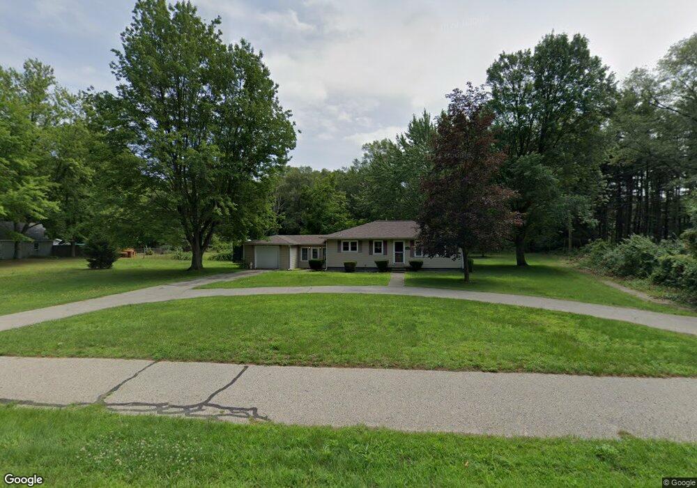
15222 State Rd Spring Lake, MI 49456
Estimated Value: $299,000 - $363,000
--
Bed
--
Bath
1,120
Sq Ft
$291/Sq Ft
Est. Value
About This Home
This home is located at 15222 State Rd, Spring Lake, MI 49456 and is currently estimated at $326,219, approximately $291 per square foot. 15222 State Rd is a home located in Ottawa County with nearby schools including Fruitport High School, West Michigan Academy of Arts & Academics, and St. Mary's School.
Ownership History
Date
Name
Owned For
Owner Type
Purchase Details
Closed on
May 18, 2020
Sold by
Sanders William D and William A Sanders Living Trust
Bought by
Sanders William D
Current Estimated Value
Purchase Details
Closed on
May 9, 2013
Sold by
Sanders William A
Bought by
Sanders William A and William Sanders Living Trust
Purchase Details
Closed on
Nov 19, 2009
Sold by
Sanders William A and Sanders Lola A
Bought by
Sanders William A and William A Sanders Living Trust
Create a Home Valuation Report for This Property
The Home Valuation Report is an in-depth analysis detailing your home's value as well as a comparison with similar homes in the area
Home Values in the Area
Average Home Value in this Area
Purchase History
| Date | Buyer | Sale Price | Title Company |
|---|---|---|---|
| Sanders William D | -- | None Available | |
| Sanders William D | -- | None Available | |
| Sanders William A | -- | None Available | |
| Sanders William A | -- | None Available | |
| Sanders William A | -- | None Available | |
| Sanders William A | -- | None Available |
Source: Public Records
Tax History Compared to Growth
Tax History
| Year | Tax Paid | Tax Assessment Tax Assessment Total Assessment is a certain percentage of the fair market value that is determined by local assessors to be the total taxable value of land and additions on the property. | Land | Improvement |
|---|---|---|---|---|
| 2025 | $4,222 | $143,500 | $0 | $0 |
| 2024 | $3,534 | $126,500 | $0 | $0 |
| 2023 | $3,375 | $106,700 | $0 | $0 |
| 2022 | $3,782 | $97,400 | $0 | $0 |
| 2021 | $3,653 | $91,600 | $0 | $0 |
| 2020 | $3,390 | $81,800 | $0 | $0 |
| 2019 | $2,039 | $80,300 | $0 | $0 |
| 2018 | $1,974 | $71,000 | $17,100 | $53,900 |
| 2017 | $1,927 | $72,400 | $0 | $0 |
| 2016 | $1,651 | $69,900 | $0 | $0 |
| 2015 | -- | $67,500 | $0 | $0 |
| 2014 | -- | $65,400 | $0 | $0 |
Source: Public Records
Map
Nearby Homes
- 15102 Brookside Dr
- 14924 Bethpage Dr
- 17518 Shinnecock Dr
- 16249 148th Ave
- 17512 N Fruitport Rd
- 17526 N Fruitport Rd Unit 9
- 17533 N Fruitport Rd Unit 6
- 126 N Fruitport Rd
- 15330 Krueger St Unit 19
- 15262 Krueger St
- 17438 Yorkton Dr
- 17357 Villa Park St
- 827 E Savidge St
- 15574 Howard St
- 15745 Beach Dr
- 15666 Connelly Ave
- 17323 Ottawa Ave
- 14704 Lori Ln
- 17882 Channel View Dr
- 15375 Oak Point Dr
- 15190 State Rd
- 15252 State Rd
- 15158 State Rd
- 15278 State Rd
- 17245 Hunters Mill Ct
- Parcel B Hunters Mill Ct
- 15132 State Rd
- 15126 State Rd
- 15298 State Rd
- Parcel C Hunters Mill Ct
- 15112 State Rd
- 15288 State Rd
- 17267 Quail Creek Dr
- 15098 State Rd
- 15306 State Rd
- 17299 Quail Creek Dr
- 15125 State Rd
- 17239 Quail Creek Dr
- 17329 Quail Creek Dr
- 15119 State Rd