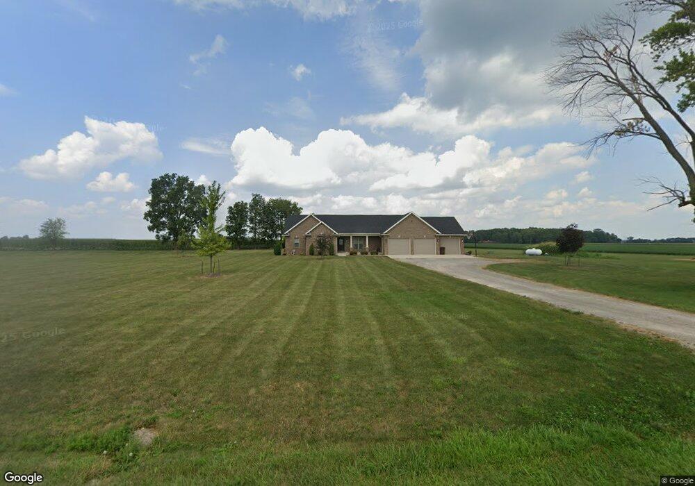
15223 State Route 116 van Wert, OH 45891
Estimated Value: $333,000 - $450,038
3
Beds
2
Baths
2,328
Sq Ft
$161/Sq Ft
Est. Value
About This Home
This home is located at 15223 State Route 116, van Wert, OH 45891 and is currently estimated at $375,013, approximately $161 per square foot. 15223 State Route 116 is a home with nearby schools including Lincolnview Elementary School, Lincolnview Junior/Senior High School, and Lifelinks Community School.
Ownership History
Date
Name
Owned For
Owner Type
Purchase Details
Closed on
Jan 27, 2017
Sold by
Ricker Bethanie A and Ricker Jeffrey
Bought by
Buehrer Jason A and Buehrer Jessica M
Current Estimated Value
Purchase Details
Closed on
Dec 24, 2012
Bought by
Evans Bethanie A
Create a Home Valuation Report for This Property
The Home Valuation Report is an in-depth analysis detailing your home's value as well as a comparison with similar homes in the area
Home Values in the Area
Average Home Value in this Area
Purchase History
| Date | Buyer | Sale Price | Title Company |
|---|---|---|---|
| Buehrer Jason A | $38,000 | Attorney | |
| Evans Bethanie A | $50,000 | -- |
Source: Public Records
Mortgage History
| Date | Status | Borrower | Loan Amount |
|---|---|---|---|
| Open | Buehrer Jason A | $262,200 | |
| Closed | Buehrer Jason A | $40,000 | |
| Closed | Buehrer Jason A | $289,000 | |
| Closed | Buehrer Jason A | $288,000 |
Source: Public Records
Tax History Compared to Growth
Tax History
| Year | Tax Paid | Tax Assessment Tax Assessment Total Assessment is a certain percentage of the fair market value that is determined by local assessors to be the total taxable value of land and additions on the property. | Land | Improvement |
|---|---|---|---|---|
| 2024 | $4,020 | $129,870 | $17,640 | $112,230 |
| 2023 | $4,020 | $129,870 | $17,640 | $112,230 |
| 2022 | $4,156 | $98,800 | $13,970 | $84,830 |
| 2021 | $4,183 | $98,800 | $13,970 | $84,830 |
| 2020 | $4,214 | $98,800 | $13,970 | $84,830 |
| 2019 | $3,305 | $85,090 | $12,580 | $72,510 |
| 2018 | $268 | $6,870 | $6,870 | $0 |
| 2017 | $238 | $6,870 | $6,870 | $0 |
| 2016 | $211 | $6,080 | $6,080 | $0 |
| 2015 | $206 | $6,080 | $6,080 | $0 |
| 2014 | $245 | $6,960 | $6,080 | $880 |
| 2013 | $293 | $6,960 | $6,080 | $880 |
Source: Public Records
Map
Nearby Homes
- 14995 Middle Point Rd
- 14162 Overholt Rd
- 12104 Clayworth Rd
- 1049 Chippewa Dr
- 1236 E Ervin Rd
- 1057 Maxine Ln
- 1008 Maplewood Dr
- 8848 Boroff Rd
- 914 E Crawford St
- 515 S Race St
- 529 S Tyler St
- 627 S Walnut St
- 12242 Dustman Rd
- 919 E Sycamore St
- 1060 1056 S Washington St
- 142 E Raymond St
- 1026 Elm St
- 138 Logan St
- 133 Balyeat Ave
- 1120 Park St
- 15018 Ohio 116
- 15018 State Route 116
- 14990 State Route 116
- 14950 State Route 116
- TBD State Route 116
- TBD Sr 116
- TBD Sr 116
- 15442 State Route 116
- 11275 Poe Rd
- 11207 Poe Rd
- 10999 Rogers Rd
- 11216 Poe Rd
- 11010 Rogers Rd
- 11320 Poe Rd
- 15525 St Route
- 10986 Rogers Rd
- 11485 Ireland Rd
- 10960 Rogers Rd
- 15594 State Route 116
- 15525 State Route 116