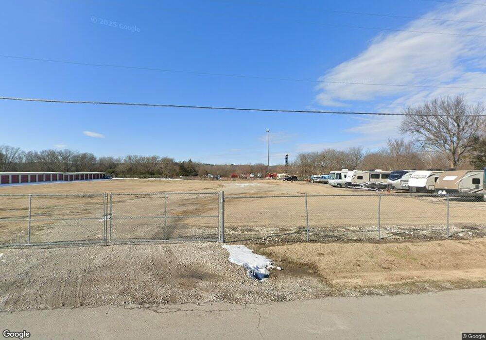
15226 S 49th West Ave Kiefer, OK 74041
Estimated Value: $175,000 - $196,000
3
Beds
1
Bath
1,486
Sq Ft
$124/Sq Ft
Est. Value
About This Home
This home is located at 15226 S 49th West Ave, Kiefer, OK 74041 and is currently estimated at $184,184, approximately $123 per square foot. 15226 S 49th West Ave is a home located in Creek County with nearby schools including Kiefer Elementary School, Rongey Middle School, and Kiefer High School.
Ownership History
Date
Name
Owned For
Owner Type
Purchase Details
Closed on
Dec 4, 2015
Sold by
Rowe Johna L and Rowe William Cory
Bought by
Peterson Howard George
Current Estimated Value
Purchase Details
Closed on
Aug 27, 2004
Sold by
Carr Chris and Carr Pamela
Bought by
Rowe Johna L
Purchase Details
Closed on
Apr 10, 1995
Sold by
Herod Linvial and Herod Marilyn
Create a Home Valuation Report for This Property
The Home Valuation Report is an in-depth analysis detailing your home's value as well as a comparison with similar homes in the area
Home Values in the Area
Average Home Value in this Area
Purchase History
| Date | Buyer | Sale Price | Title Company |
|---|---|---|---|
| Peterson Howard George | $97,000 | None Available | |
| Rowe Johna L | $92,500 | -- | |
| -- | $45,000 | -- |
Source: Public Records
Tax History Compared to Growth
Tax History
| Year | Tax Paid | Tax Assessment Tax Assessment Total Assessment is a certain percentage of the fair market value that is determined by local assessors to be the total taxable value of land and additions on the property. | Land | Improvement |
|---|---|---|---|---|
| 2024 | $244 | $2,349 | $2,349 | $0 |
| 2023 | $244 | $2,349 | $2,349 | $0 |
| 2022 | $236 | $2,349 | $2,349 | $0 |
| 2021 | $246 | $2,349 | $2,349 | $0 |
| 2020 | $240 | $2,349 | $2,349 | $0 |
| 2019 | $236 | $2,349 | $2,349 | $0 |
| 2018 | $235 | $2,349 | $2,349 | $0 |
| 2017 | $229 | $2,349 | $2,349 | $0 |
| 2016 | $1,138 | $11,636 | $2,349 | $9,287 |
| 2015 | -- | $11,063 | $1,501 | $9,562 |
| 2014 | -- | $11,063 | $1,501 | $9,562 |
Source: Public Records
Map
Nearby Homes
- 129 Dp Newman Cir
- 205 Keystone Ave
- 8 Ryan Place
- 205 Taos Dr
- 341 N Main St
- 409 Oak Hill Cir
- 6575 W 161st St S
- 16375 S 61st West Ave
- 15002 S Justin Ave
- 6490 Lindsay Dr
- 803 W 150th St
- 791 W 148th St S
- 13435 S Garrett St
- 598 W 147th Place S
- 500 W 148th Place S
- 13380 S Garrett St
- 13743 Highway 75
- 950 W 138th Place
- 6355 Rockwood Cir N
- 0 33rd West Ave
- 15264 S 49th West Ave
- 15176 S 49th West Ave
- 15276 S 49th West Ave
- 15330 S 49th West Ave
- 15359 S 49th West Ave
- 5224 W 151st St S
- 11 S Bell
- 11 S Bell
- 15449 S 49th West Ave
- 5302 W 151st St S
- 4475 Elm Cir
- 4475 Spruce St
- 4473 Elm Cir
- 15365 S 49th West Ave
- 4476 Spruce St
- 0 151st St Unit 1801504
- 16205 Mason St
- 15455 S 49th West Ave
- 4474 Spruce St
- 4471 Elm Cir
