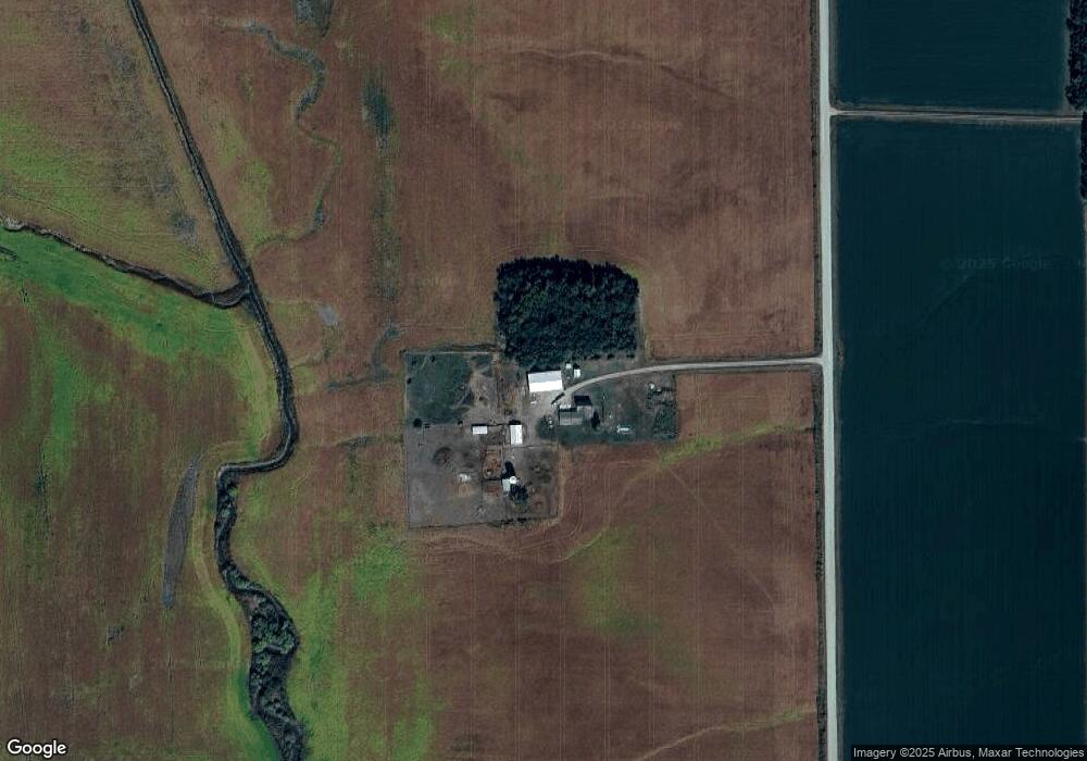
1523 20th Rd West Point, NE 68788
Estimated Value: $417,000 - $460,775
3
Beds
1
Bath
2,958
Sq Ft
$148/Sq Ft
Est. Value
About This Home
This home is located at 1523 20th Rd, West Point, NE 68788 and is currently estimated at $438,888, approximately $148 per square foot. 1523 20th Rd is a home located in Cuming County with nearby schools including West Point-Beemer Junior/Senior High School and Zion Lutheran School.
Ownership History
Date
Name
Owned For
Owner Type
Purchase Details
Closed on
Jul 2, 2018
Sold by
Tomka Amanda Lynn
Bought by
Tomka Amanda Lynn and Tomka Matthew Michael
Current Estimated Value
Purchase Details
Closed on
May 16, 2018
Sold by
Munderloh Maynard D and Munderloh Linda F
Bought by
Tomka Amanda Lynn
Create a Home Valuation Report for This Property
The Home Valuation Report is an in-depth analysis detailing your home's value as well as a comparison with similar homes in the area
Home Values in the Area
Average Home Value in this Area
Purchase History
| Date | Buyer | Sale Price | Title Company |
|---|---|---|---|
| Tomka Amanda Lynn | -- | None Available | |
| Tomka Amanda Lynn | -- | None Available |
Source: Public Records
Tax History Compared to Growth
Tax History
| Year | Tax Paid | Tax Assessment Tax Assessment Total Assessment is a certain percentage of the fair market value that is determined by local assessors to be the total taxable value of land and additions on the property. | Land | Improvement |
|---|---|---|---|---|
| 2025 | $2,051 | $386,940 | $88,665 | $298,275 |
| 2024 | $2,051 | $347,350 | $87,595 | $259,755 |
| 2023 | $2,910 | $327,880 | $77,365 | $250,515 |
| 2022 | $2,508 | $256,295 | $61,040 | $195,255 |
| 2021 | $1,967 | $195,065 | $38,845 | $156,220 |
| 2020 | $1,487 | $148,105 | $38,660 | $109,445 |
| 2019 | $1,166 | $113,730 | $37,865 | $75,865 |
| 2018 | $1,202 | $118,175 | $39,235 | $78,940 |
| 2017 | $1,227 | $113,665 | $38,670 | $74,995 |
| 2016 | $1,234 | $110,775 | $38,670 | $72,105 |
| 2015 | $1,282 | $107,175 | $35,070 | $72,105 |
| 2014 | $1,532 | $99,945 | $31,305 | $68,640 |
| 2013 | $1,532 | $103,335 | $33,975 | $69,360 |
Source: Public Records
Map
Nearby Homes