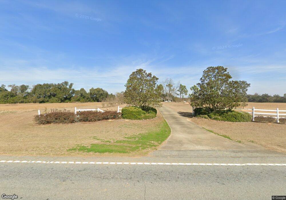
1523 Ga Highway 91 N Colquitt, GA 39837
Estimated Value: $361,000 - $664,612
3
Beds
2
Baths
2,228
Sq Ft
$246/Sq Ft
Est. Value
About This Home
This home is located at 1523 Ga Highway 91 N, Colquitt, GA 39837 and is currently estimated at $547,537, approximately $245 per square foot. 1523 Ga Highway 91 N is a home located in Miller County with nearby schools including Miller County Elementary School, Miller County Middle School, and Miller County High School.
Ownership History
Date
Name
Owned For
Owner Type
Purchase Details
Closed on
Jul 15, 2024
Sold by
Laguardia Richard Dodge V
Bought by
Vltc Llc
Current Estimated Value
Purchase Details
Closed on
Mar 13, 2024
Sold by
Regan Dolly K
Bought by
Laguardia Richard Dodge V
Purchase Details
Closed on
Jul 27, 2006
Sold by
Akridge William Albert
Bought by
Regan Dolly K
Purchase Details
Closed on
Apr 27, 2004
Sold by
Everson George and Everson Dollie
Bought by
Everson Dolly K
Create a Home Valuation Report for This Property
The Home Valuation Report is an in-depth analysis detailing your home's value as well as a comparison with similar homes in the area
Home Values in the Area
Average Home Value in this Area
Purchase History
| Date | Buyer | Sale Price | Title Company |
|---|---|---|---|
| Vltc Llc | $660,000 | -- | |
| Laguardia Richard Dodge V | $560,000 | -- | |
| Laguardia Richard Dodge V | -- | -- | |
| Laguardia Richard Dodge V | -- | -- | |
| Regan Dolly K | $37,500 | -- | |
| Everson Dolly K | -- | -- |
Source: Public Records
Tax History Compared to Growth
Tax History
| Year | Tax Paid | Tax Assessment Tax Assessment Total Assessment is a certain percentage of the fair market value that is determined by local assessors to be the total taxable value of land and additions on the property. | Land | Improvement |
|---|---|---|---|---|
| 2024 | $3,827 | $153,136 | $76,569 | $76,567 |
| 2023 | $3,257 | $131,805 | $76,569 | $55,236 |
| 2022 | $2,719 | $112,435 | $76,569 | $35,866 |
| 2021 | $2,653 | $112,435 | $76,568 | $35,867 |
| 2020 | $2,617 | $112,435 | $76,569 | $35,866 |
| 2019 | $2,589 | $112,435 | $76,569 | $35,866 |
| 2018 | $4,146 | $112,435 | $76,569 | $35,866 |
| 2017 | $4,146 | $112,435 | $76,569 | $35,866 |
| 2016 | $2,329 | $111,140 | $75,274 | $35,866 |
| 2015 | -- | $82,257 | $41,200 | $41,057 |
| 2014 | -- | $82,257 | $41,200 | $41,057 |
| 2013 | -- | $82,257 | $41,200 | $41,057 |
Source: Public Records
Map
Nearby Homes
- 1203 Bellview Rd
- 430 Cox Rd
- 113 Crooked Oak Ln
- 1545 Phillipsburg Rd
- 000 Bellview Rd
- 000 Phillipsburg Rd
- 000 Thompson Town Rd
- 324 Privett Store Rd
- 721 E Crawford St
- 570 E Pine St
- 708 E Crawford St
- 356 E Main St
- 300 N First St
- 157 E Pine St
- 210 N First St
- 102 Bremond St
- 2835 Georgia 91
- US 27 Us Highway 27
- 745 Harmony Church Rd
- 424 Grassy Flats Rd