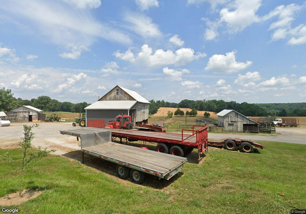
15237 Dover Rd Reisterstown, MD 21136
Estimated Value: $750,000 - $947,308
--
Bed
1
Bath
2,242
Sq Ft
$379/Sq Ft
Est. Value
About This Home
This home is located at 15237 Dover Rd, Reisterstown, MD 21136 and is currently estimated at $848,654, approximately $378 per square foot. 15237 Dover Rd is a home located in Baltimore County with nearby schools including Franklin Elementary School, Franklin Middle, and Franklin High.
Ownership History
Date
Name
Owned For
Owner Type
Purchase Details
Closed on
Apr 13, 2020
Sold by
King Donald Wesley and King Crystal Lee
Bought by
King Donald Wesley and King Crystal Lee
Current Estimated Value
Home Financials for this Owner
Home Financials are based on the most recent Mortgage that was taken out on this home.
Original Mortgage
$175,000
Interest Rate
3.2%
Mortgage Type
Purchase Money Mortgage
Purchase Details
Closed on
Apr 26, 2016
Sold by
Ayres Peggy K
Bought by
King Kathy L and King Jerry E
Purchase Details
Closed on
Apr 25, 2016
Sold by
Grace Victoria L
Bought by
King Kathy L and King Jerry E
Create a Home Valuation Report for This Property
The Home Valuation Report is an in-depth analysis detailing your home's value as well as a comparison with similar homes in the area
Home Values in the Area
Average Home Value in this Area
Purchase History
| Date | Buyer | Sale Price | Title Company |
|---|---|---|---|
| King Donald Wesley | -- | Mid Atlantic Setmnt Svcs Llc | |
| King Donald Wesley | $292,500 | Mid Atlantic Setmnt Svcs Llc | |
| King Donald Wesley | $292,500 | Mid Atlantic Setmnt Svcs Llc | |
| King Kathy L | -- | None Available | |
| King Kathy L | -- | None Available | |
| Ayres Peggy K | -- | None Available |
Source: Public Records
Mortgage History
| Date | Status | Borrower | Loan Amount |
|---|---|---|---|
| Previous Owner | King Donald Wesley | $175,000 |
Source: Public Records
Tax History Compared to Growth
Tax History
| Year | Tax Paid | Tax Assessment Tax Assessment Total Assessment is a certain percentage of the fair market value that is determined by local assessors to be the total taxable value of land and additions on the property. | Land | Improvement |
|---|---|---|---|---|
| 2025 | $3,804 | $325,300 | $117,000 | $208,300 |
| 2024 | $3,804 | $310,333 | $0 | $0 |
| 2023 | $1,790 | $295,367 | $0 | $0 |
| 2022 | $3,368 | $280,400 | $112,500 | $167,900 |
| 2021 | $3,308 | $275,400 | $0 | $0 |
| 2020 | $3,337 | $270,400 | $0 | $0 |
| 2019 | $3,098 | $255,600 | $102,700 | $152,900 |
| 2018 | $2,993 | $244,200 | $0 | $0 |
| 2017 | $2,736 | $232,800 | $0 | $0 |
| 2016 | $2,917 | $221,400 | $0 | $0 |
| 2015 | $2,917 | $221,400 | $0 | $0 |
| 2014 | $2,917 | $221,400 | $0 | $0 |
Source: Public Records
Map
Nearby Homes
- 17 Mamopa Ct
- 14815 Dover Rd
- 0 Dover Rd Unit MDBC2012792
- 14628 Old Hanover Rd Unit BENTON
- 14628 Old Hanover Rd Unit RAINIER
- 14628 Old Hanover Rd Unit TULARE
- 3600 Butler Rd
- 15915 Trenton Rd
- 16535 Trenton Rd
- 16306 Trenton Rd
- 5715 Emory Rd
- 14500 Hanover Pike
- 5708 Emory Rd
- 5710 Emory Rd
- 13943 Old Hanover Rd
- 13915 Hanover Pike
- 14111 Green Rd
- 13816 Hanover Pike
- 5320 Glen Falls Rd
- 0 Falls Rd Unit MDBC2120964