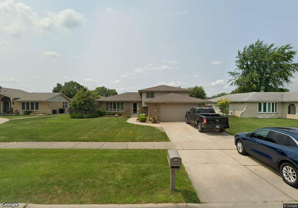
15238 S 82nd Ave Orland Park, IL 60462
Silver Lake South NeighborhoodEstimated Value: $369,000 - $411,000
3
Beds
2
Baths
1,460
Sq Ft
$267/Sq Ft
Est. Value
About This Home
This home is located at 15238 S 82nd Ave, Orland Park, IL 60462 and is currently estimated at $389,228, approximately $266 per square foot. 15238 S 82nd Ave is a home located in Cook County with nearby schools including Prairie Elementary School, Liberty Elementary School, and Jerling Junior High School.
Ownership History
Date
Name
Owned For
Owner Type
Purchase Details
Closed on
Jul 24, 2003
Sold by
Hanna Jeong John I and Hanna Jeong
Bought by
Carella Rocco and Carella Margaret A
Current Estimated Value
Home Financials for this Owner
Home Financials are based on the most recent Mortgage that was taken out on this home.
Original Mortgage
$167,000
Outstanding Balance
$72,923
Interest Rate
5.62%
Mortgage Type
Unknown
Estimated Equity
$316,305
Create a Home Valuation Report for This Property
The Home Valuation Report is an in-depth analysis detailing your home's value as well as a comparison with similar homes in the area
Home Values in the Area
Average Home Value in this Area
Purchase History
| Date | Buyer | Sale Price | Title Company |
|---|---|---|---|
| Carella Rocco | $237,000 | Atgf Inc |
Source: Public Records
Mortgage History
| Date | Status | Borrower | Loan Amount |
|---|---|---|---|
| Open | Carella Rocco | $167,000 |
Source: Public Records
Tax History Compared to Growth
Tax History
| Year | Tax Paid | Tax Assessment Tax Assessment Total Assessment is a certain percentage of the fair market value that is determined by local assessors to be the total taxable value of land and additions on the property. | Land | Improvement |
|---|---|---|---|---|
| 2024 | $7,679 | $34,000 | $6,250 | $27,750 |
| 2023 | $6,428 | $34,000 | $6,250 | $27,750 |
| 2022 | $6,428 | $24,879 | $5,500 | $19,379 |
| 2021 | $6,234 | $24,879 | $5,500 | $19,379 |
| 2020 | $6,064 | $24,879 | $5,500 | $19,379 |
| 2019 | $5,856 | $24,763 | $5,000 | $19,763 |
| 2018 | $5,694 | $24,763 | $5,000 | $19,763 |
| 2017 | $5,581 | $24,763 | $5,000 | $19,763 |
| 2016 | $5,211 | $21,173 | $4,500 | $16,673 |
| 2015 | $5,126 | $21,173 | $4,500 | $16,673 |
| 2014 | $5,065 | $21,173 | $4,500 | $16,673 |
| 2013 | $5,413 | $23,747 | $4,500 | $19,247 |
Source: Public Records
Map
Nearby Homes
- 8215 Saint Andrews Dr
- 15229 Bunker Dr
- 15426 S 82nd Ave
- 15024 S 81st Ave
- 14939 S 81st Ct
- 7922 Sycamore Dr
- 15624 Sunset Ridge Dr
- 15543 Brassie Dr
- 7991 Forestview Dr
- 15702 Deerfield Ct Unit 2S
- 7825 Braeloch Ct
- 15636 Chapel Hill Rd
- 7842 Sea Pines Rd
- 7712 Sequoia Ct
- 15713 Brassie Ct Unit 1S
- 8624 Kendall Ln
- 7820 Forestview Dr
- 15633 Orlan Brook Dr
- 15724 Old Orchard Ct Unit 1W
- 15717 Orlan Brook Dr Unit G83
- 15232 S 82nd Ave
- 15244 S 82nd Ave
- 15245 Saint Andrews Dr
- 15239 Saint Andrews Dr
- 15251 Saint Andrews Dr
- 15226 S 82nd Ave
- 15302 S 82nd Ave
- 15235 S 82nd Ave
- 15233 Saint Andrews Dr
- 15309 Saint Andrews Dr
- 15241 S 82nd Ave Unit 4
- 15229 S 82nd Ave
- 15220 S 82nd Ave
- 15308 S 82nd Ave
- 15305 S 82nd Ave
- 15223 S 82nd Ave
- 15315 Saint Andrews Dr
- 15242 Saint Andrews Dr
- 15214 S 82nd Ave
- 15314 S 82nd Ave