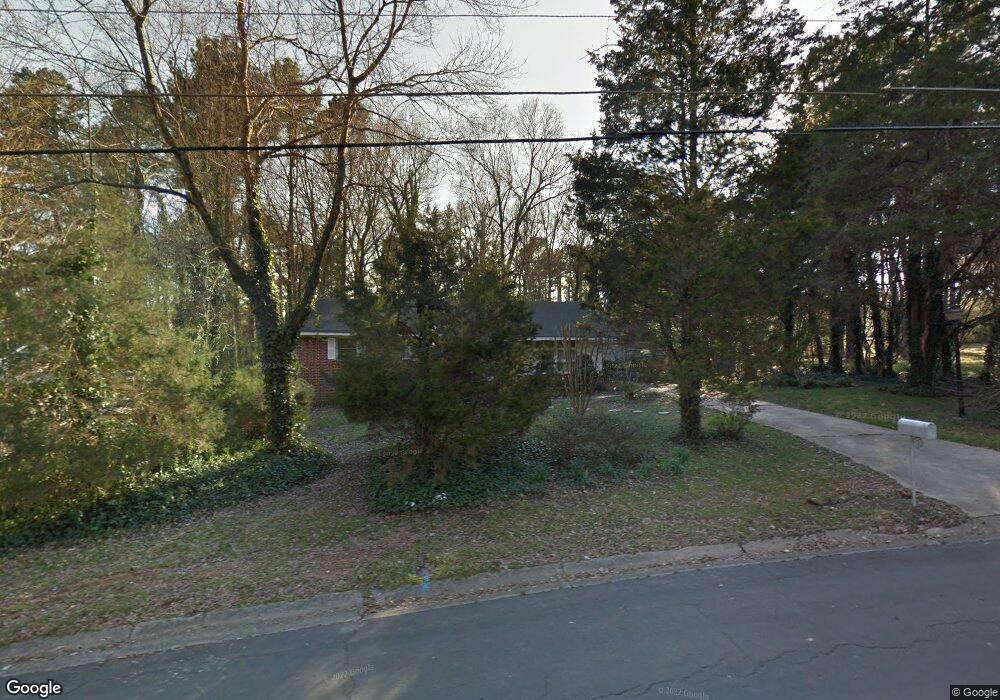
1524 Euclid Rd Durham, NC 27713
South Durham NeighborhoodEstimated Value: $324,005 - $377,000
3
Beds
2
Baths
1,300
Sq Ft
$268/Sq Ft
Est. Value
About This Home
This home is located at 1524 Euclid Rd, Durham, NC 27713 and is currently estimated at $347,751, approximately $267 per square foot. 1524 Euclid Rd is a home located in Durham County with nearby schools including Parkwood Elementary, Lowe's Grove Middle, and Hillside High School.
Ownership History
Date
Name
Owned For
Owner Type
Purchase Details
Closed on
Dec 19, 2006
Sold by
Malone Patrick
Bought by
Hutchison Malone Leigh Anna
Current Estimated Value
Purchase Details
Closed on
Jun 27, 2001
Sold by
Cassara Gerard J and Cassara Bernadette A
Bought by
Malone Patrick S and Hutchison Malone Leigh Anna
Home Financials for this Owner
Home Financials are based on the most recent Mortgage that was taken out on this home.
Original Mortgage
$108,500
Interest Rate
11.25%
Create a Home Valuation Report for This Property
The Home Valuation Report is an in-depth analysis detailing your home's value as well as a comparison with similar homes in the area
Home Values in the Area
Average Home Value in this Area
Purchase History
| Date | Buyer | Sale Price | Title Company |
|---|---|---|---|
| Hutchison Malone Leigh Anna | -- | None Available | |
| Malone Patrick S | $108,500 | -- |
Source: Public Records
Mortgage History
| Date | Status | Borrower | Loan Amount |
|---|---|---|---|
| Previous Owner | Malone Patrick S | $108,500 |
Source: Public Records
Tax History
| Year | Tax Paid | Tax Assessment Tax Assessment Total Assessment is a certain percentage of the fair market value that is determined by local assessors to be the total taxable value of land and additions on the property. | Land | Improvement |
|---|---|---|---|---|
| 2025 | $3,225 | $325,323 | $138,000 | $187,323 |
| 2024 | $2,107 | $188,796 | $41,490 | $147,306 |
| 2023 | $2,473 | $188,796 | $41,490 | $147,306 |
| 2022 | $2,416 | $188,796 | $41,490 | $147,306 |
| 2021 | $2,405 | $188,796 | $41,490 | $147,306 |
| 2020 | $2,348 | $188,796 | $41,490 | $147,306 |
| 2019 | $2,348 | $188,796 | $41,490 | $147,306 |
| 2018 | $1,925 | $141,873 | $38,032 | $103,841 |
| 2017 | $1,910 | $141,873 | $38,032 | $103,841 |
| 2016 | $1,846 | $141,873 | $38,032 | $103,841 |
| 2015 | $1,980 | $143,043 | $34,972 | $108,071 |
| 2014 | $1,980 | $143,043 | $34,972 | $108,071 |
Source: Public Records
Map
Nearby Homes
- 1526 Euclid Rd
- 1506 Euclid Rd
- 4610 Revere Rd
- 1215 Lotus Lilly Dr
- 1203 Lotus Lilly Dr
- 1106 Lotus Lilly Dr
- 1027 Orchard Grass Rd
- 1022 Orchard Grass Rd
- 1039 Laceflower Dr
- 1101 Rocketcress Dr
- 1509 Clermont Rd Unit T27
- 1509 Clermont Rd Unit T24
- 1049 Laceflower Dr
- 1304 Seaton Rd Unit 2
- 1304 Seaton Rd Unit 30
- 5308 Mccormick Rd
- 1142 Metropolitan Dr
- 1101 Canary Pepper Dr
- 1034 Urbane Ct
- 43 Redbud Ct
- 1525 Euclid Rd
- 1530 Euclid Rd
- 1521 Euclid Rd
- 105 Putnam Ln
- 7 Goodyear Cir
- 1532 Euclid Rd
- 120 Lattimore Ln
- 104 Putnam Ln
- 122 Lattimore Ln
- 1517 Euclid Rd
- 5 Goodyear Cir
- 9 Goodyear Cir
- 118 Lattimore Ln
- 106 Putnam Ln
- 107 Putnam Ln
- 1534 Euclid Rd
- 116 Lattimore Ln
- 11 Burbank Cir
- 1533 Euclid Rd
- 124 Lattimore Ln
Your Personal Tour Guide
Ask me questions while you tour the home.