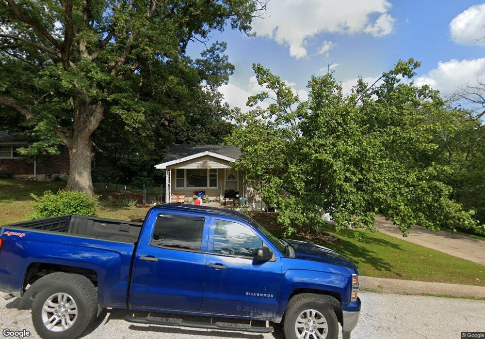
1524 Frank St Hannibal, MO 63401
Estimated Value: $172,281 - $189,000
3
Beds
1
Bath
1,384
Sq Ft
$131/Sq Ft
Est. Value
About This Home
This home is located at 1524 Frank St, Hannibal, MO 63401 and is currently estimated at $181,070, approximately $130 per square foot. 1524 Frank St is a home with nearby schools including Hannibal Senior High School, St. John's Lutheran School, and Holy Family School.
Ownership History
Date
Name
Owned For
Owner Type
Purchase Details
Closed on
Jun 2, 2014
Sold by
Broaddus Juanita Kay and Broaddus Ronald Ray
Bought by
Saxbury Paul and Saxbury Meryl L
Current Estimated Value
Home Financials for this Owner
Home Financials are based on the most recent Mortgage that was taken out on this home.
Original Mortgage
$65,990
Outstanding Balance
$50,475
Interest Rate
4.35%
Mortgage Type
New Conventional
Estimated Equity
$130,595
Purchase Details
Closed on
Mar 24, 2008
Sold by
Broaddus Juanita Kay and Broaddus Ronald Ray
Bought by
Broaddus Juanita Kay and Broaddus Ronald Ray
Create a Home Valuation Report for This Property
The Home Valuation Report is an in-depth analysis detailing your home's value as well as a comparison with similar homes in the area
Home Values in the Area
Average Home Value in this Area
Purchase History
| Date | Buyer | Sale Price | Title Company |
|---|---|---|---|
| Saxbury Paul | $88,000 | None Available | |
| Broaddus Juanita Kay | -- | None Available |
Source: Public Records
Mortgage History
| Date | Status | Borrower | Loan Amount |
|---|---|---|---|
| Open | Saxbury Paul | $65,990 |
Source: Public Records
Tax History Compared to Growth
Tax History
| Year | Tax Paid | Tax Assessment Tax Assessment Total Assessment is a certain percentage of the fair market value that is determined by local assessors to be the total taxable value of land and additions on the property. | Land | Improvement |
|---|---|---|---|---|
| 2024 | $968 | $14,510 | $840 | $13,670 |
| 2023 | $906 | $14,510 | $840 | $13,670 |
| 2022 | $904 | $14,510 | $840 | $13,670 |
| 2021 | $898 | $14,510 | $840 | $13,670 |
| 2020 | $837 | $13,190 | $760 | $12,430 |
| 2019 | $835 | $13,190 | $760 | $12,430 |
| 2018 | $833 | $13,190 | $760 | $12,430 |
| 2017 | $814 | $13,190 | $760 | $12,430 |
| 2015 | $694 | $13,190 | $760 | $12,430 |
| 2014 | $694 | $13,190 | $760 | $12,430 |
| 2012 | -- | $13,190 | $0 | $0 |
Source: Public Records
Map
Nearby Homes
- 1608 Singleton Ave
- 1716 36th St
- 3710 Tilden St
- 3 Lot 3 Ismail Estates
- 1927 Owens Ave
- 1 Lot 1 Ismail Estates
- 116 Stone Ridge Dr
- 115 Stone Ridge Dr
- 2606 Hope St
- 0 Minnow St
- 19 Kitlaw Dr
- 18 Kitlaw Dr
- 2210 Spruce St
- 6 State Route O
- 73 New London Gravel Rd
- 3149 James Rd
- 2101 Spruce St
- 1906-1910 Spruce St
- 809 Lindell Ave
- 2003 Spruce St
- 0 Frank St
- 1522 Frank St
- 1606 Frank St
- 3300 Susan Dr
- 1523 Frank St
- 3304 Susan Dr
- 3220 Susan Dr
- 1605 Singleton Ave
- 1607 Singleton Ave
- 1609 Singleton Ave
- 3221 Susan Dr
- 1526 Nancy Dr
- 1 Frank
- 1525 Singleton Ave
- 1530 Nancy Dr
- 1604 Singleton Ave
- 3309 Susan Dr
- 1618 Singleton Ave
- 1631 Singleton Ave
- 1500 Singleton Ave