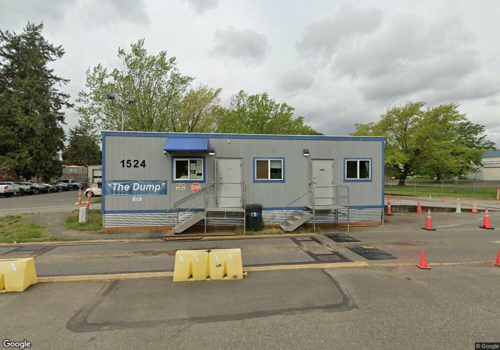
1524 Slater Rd Ferndale, WA 98248
Estimated Value: $3,994,531
--
Bed
--
Bath
38,889
Sq Ft
$103/Sq Ft
Est. Value
About This Home
This home is located at 1524 Slater Rd, Ferndale, WA 98248 and is currently estimated at $3,994,531, approximately $102 per square foot. 1524 Slater Rd is a home located in Whatcom County with nearby schools including Central Elementary School, Vista Middle School, and Ferndale High School.
Ownership History
Date
Name
Owned For
Owner Type
Purchase Details
Closed on
Feb 11, 2015
Sold by
Pearson Wanda
Bought by
Regional Disposal Company
Current Estimated Value
Purchase Details
Closed on
Jan 9, 2015
Sold by
Hoksbergen John and Hoksbergen Betty
Bought by
Pearson Wanda and Estate Of Bernard T Barlean
Purchase Details
Closed on
Jan 16, 2014
Sold by
Hoksbergen John and Hoksbergen Betty
Bought by
Pearson Wanda and Estate Of Bernard T Barlean
Create a Home Valuation Report for This Property
The Home Valuation Report is an in-depth analysis detailing your home's value as well as a comparison with similar homes in the area
Home Values in the Area
Average Home Value in this Area
Purchase History
| Date | Buyer | Sale Price | Title Company |
|---|---|---|---|
| Regional Disposal Company | $1,600,000 | None Available | |
| Pearson Wanda | $1,467,755 | None Available | |
| Pearson Wanda | $1,467,755 | None Available |
Source: Public Records
Tax History Compared to Growth
Tax History
| Year | Tax Paid | Tax Assessment Tax Assessment Total Assessment is a certain percentage of the fair market value that is determined by local assessors to be the total taxable value of land and additions on the property. | Land | Improvement |
|---|---|---|---|---|
| 2024 | $16,195 | $2,329,845 | $568,667 | $1,761,178 |
| 2023 | $16,195 | $2,329,845 | $568,667 | $1,761,178 |
| 2022 | $16,435 | $1,835,819 | $376,324 | $1,459,495 |
| 2021 | $17,878 | $1,835,819 | $376,324 | $1,459,495 |
| 2020 | $18,801 | $1,835,819 | $376,324 | $1,459,495 |
| 2019 | $15,819 | $1,736,877 | $376,324 | $1,360,553 |
| 2018 | $21,050 | $1,736,877 | $376,324 | $1,360,553 |
| 2017 | $19,732 | $1,736,877 | $376,324 | $1,360,553 |
| 2016 | $19,670 | $1,761,000 | $384,000 | $1,377,000 |
| 2015 | $20,134 | $1,761,000 | $384,000 | $1,377,000 |
| 2014 | -- | $1,761,000 | $384,000 | $1,377,000 |
| 2013 | -- | $1,761,000 | $384,000 | $1,377,000 |
Source: Public Records
Map
Nearby Homes
- 1474 Sunset Ave
- 5094 Labounty Rd
- 5162 Spoonbill Ln
- 4958 Pacific Hwy
- 0 Shady Ln
- 1416 Marietta Ave
- 1333 W Smith Rd
- 1961 Rayhorst Rd
- 5306 Myers Dr
- 1409 Marietta Ave
- 5391 La Bounty Dr
- 5330 Bel Dr W
- 4558 Wynn Rd
- 5295 Graveline Rd
- 1411 Woods Point Loop
- 5350 Kaitlyn Ct
- 5400 Barrett Rd
- 4264 Jones Ln
- 4311 Rural Ave
- 4256 Curtis Rd
- 1482 Slater Rd
- 4999 Labounty Dr
- 0 Slater Rd Unit 668557
- 0 Slater Rd Unit NWM2287593
- 0 Slater Rd Unit NWM2145377
- 1469 Sunset Ave
- 1449 Sunset Ave
- 5110 Labounty Rd
- 5142 Labounty Rd
- 5114 Labounty Rd
- 5165 Labounty Rd
- 5177 Labounty Rd
- 1467 Sunset Ave
- 5030 Labounty Rd
- 1460 Sunset Ave
- 1404 Kope Rd
- 1450 Sunset Ave
- 1427 Sunset Ave
- 1597 Slater Rd
- 12 Sunset Park