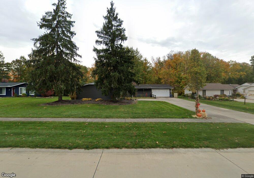
15241 High Point Strongsville, OH 44136
Estimated Value: $346,890 - $372,000
4
Beds
2
Baths
1,932
Sq Ft
$188/Sq Ft
Est. Value
About This Home
This home is located at 15241 High Point, Strongsville, OH 44136 and is currently estimated at $362,473, approximately $187 per square foot. 15241 High Point is a home located in Cuyahoga County with nearby schools including Strongsville High School, Royal Redeemer Lutheran School, and Sts Joseph & John Interparochial School.
Ownership History
Date
Name
Owned For
Owner Type
Purchase Details
Closed on
Jun 28, 2006
Sold by
Bradner John G and Bradner Jacquelyn G
Bought by
Cook Dwayne E and Cook Debra L
Current Estimated Value
Home Financials for this Owner
Home Financials are based on the most recent Mortgage that was taken out on this home.
Original Mortgage
$80,000
Outstanding Balance
$47,704
Interest Rate
6.73%
Mortgage Type
Purchase Money Mortgage
Estimated Equity
$314,769
Purchase Details
Closed on
Nov 12, 1996
Sold by
Culver Kenneth D
Bought by
Bradner John G and Bradner Jacquelyn G
Home Financials for this Owner
Home Financials are based on the most recent Mortgage that was taken out on this home.
Original Mortgage
$124,750
Interest Rate
8.26%
Mortgage Type
New Conventional
Purchase Details
Closed on
Dec 9, 1983
Sold by
Douglas Gary E and M J
Bought by
Culver Kenneth D and Culver Sharon L
Purchase Details
Closed on
Jan 1, 1975
Bought by
Douglas Gary E and M J
Create a Home Valuation Report for This Property
The Home Valuation Report is an in-depth analysis detailing your home's value as well as a comparison with similar homes in the area
Home Values in the Area
Average Home Value in this Area
Purchase History
| Date | Buyer | Sale Price | Title Company |
|---|---|---|---|
| Cook Dwayne E | $205,500 | Land Title Agency | |
| Bradner John G | $138,650 | -- | |
| Culver Kenneth D | $84,000 | -- | |
| Douglas Gary E | -- | -- |
Source: Public Records
Mortgage History
| Date | Status | Borrower | Loan Amount |
|---|---|---|---|
| Open | Cook Dwayne E | $80,000 | |
| Closed | Bradner John G | $124,750 |
Source: Public Records
Tax History Compared to Growth
Tax History
| Year | Tax Paid | Tax Assessment Tax Assessment Total Assessment is a certain percentage of the fair market value that is determined by local assessors to be the total taxable value of land and additions on the property. | Land | Improvement |
|---|---|---|---|---|
| 2024 | $4,628 | $98,560 | $24,185 | $74,375 |
| 2023 | $4,913 | $78,470 | $20,790 | $57,680 |
| 2022 | $4,878 | $78,470 | $20,790 | $57,680 |
| 2021 | $4,839 | $78,470 | $20,790 | $57,680 |
| 2020 | $4,560 | $65,420 | $17,470 | $47,950 |
| 2019 | $4,427 | $186,900 | $49,900 | $137,000 |
| 2018 | $3,950 | $65,420 | $17,470 | $47,950 |
| 2017 | $3,954 | $59,610 | $14,950 | $44,660 |
| 2016 | $3,922 | $59,610 | $14,950 | $44,660 |
| 2015 | $3,861 | $59,610 | $14,950 | $44,660 |
| 2014 | $3,861 | $57,860 | $14,530 | $43,330 |
Source: Public Records
Map
Nearby Homes
- 15485 Albion Rd
- 14236 Calderdale Ln
- 13861 Woodhawk Dr
- 0 Webster Rd
- 12199 Webster Rd
- 14584 Baywood Ln
- 14557 Baywood Ln
- 14644 Baywood Ln
- 10560 Stapleton Dr
- 16519 Albion Rd
- 10471 Royal Oak Dr Unit 38-A
- 14069 Basswood Cir
- 10369 Council Bluff
- 9945 Twelve Oaks Cir
- 10010 Chevy Chase
- 13402 Bridgecreek Cir
- 9890 Webster Rd
- 12101 The Bluffs
- 12664 W 130th St
- 13513 Suncrest Ct
- 15249 High Point
- 15237 High Point
- 11625 Forest Point Place
- 15231 High Point
- 15253 High Point Rd
- 15231 High Point Rd
- 11594 Park Moss Ave
- 11596 Park Moss Ave
- 15253 High Point
- 11629 Forest Point Place
- 15236 High Point
- 15240 High Point
- 15229 High Point
- 15229 High Point Rd
- 11590 Timber Edge Place
- 11592 Park Moss Ave
- 15244 High Point
- 11580 Pleasant Ridge Place
- 11574 Pleasant Ridge Place
- 15250 High Point