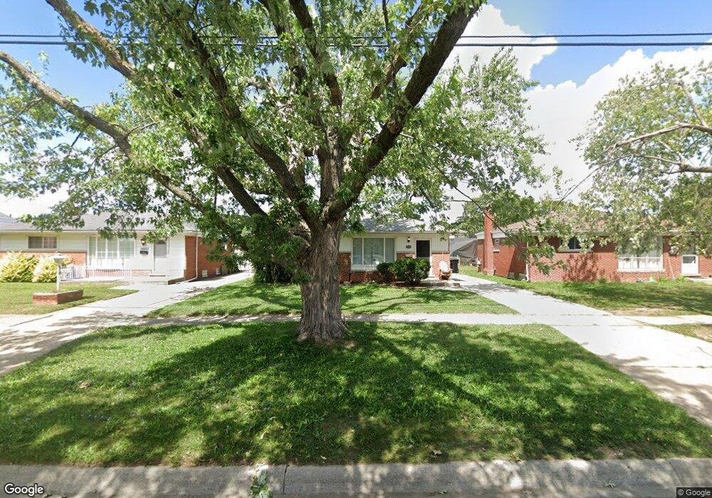
15243 Common Rd Roseville, MI 48066
Estimated Value: $189,000 - $217,000
3
Beds
2
Baths
1,015
Sq Ft
$201/Sq Ft
Est. Value
About This Home
This home is located at 15243 Common Rd, Roseville, MI 48066 and is currently estimated at $204,153, approximately $201 per square foot. 15243 Common Rd is a home located in Macomb County with nearby schools including Mark Twain Elementary School, Richards Middle School, and Fraser High School.
Ownership History
Date
Name
Owned For
Owner Type
Purchase Details
Closed on
Jan 11, 2021
Sold by
Jent Richard and Jent Doretha
Bought by
Taylor Cady
Current Estimated Value
Home Financials for this Owner
Home Financials are based on the most recent Mortgage that was taken out on this home.
Original Mortgage
$139,175
Outstanding Balance
$124,214
Interest Rate
2.71%
Mortgage Type
New Conventional
Estimated Equity
$79,939
Purchase Details
Closed on
Jul 10, 2003
Sold by
Novak William T and Novak Gail
Bought by
Jent Richard and Jent Doretha
Home Financials for this Owner
Home Financials are based on the most recent Mortgage that was taken out on this home.
Original Mortgage
$101,600
Interest Rate
4.25%
Mortgage Type
Purchase Money Mortgage
Purchase Details
Closed on
May 30, 1996
Sold by
Potrykus D
Bought by
De Liso A
Purchase Details
Closed on
Aug 31, 1995
Sold by
Gusumano P and Gusumano E
Bought by
Potrykus D
Create a Home Valuation Report for This Property
The Home Valuation Report is an in-depth analysis detailing your home's value as well as a comparison with similar homes in the area
Home Values in the Area
Average Home Value in this Area
Purchase History
| Date | Buyer | Sale Price | Title Company |
|---|---|---|---|
| Taylor Cady | $146,500 | None Listed On Document | |
| Jent Richard | $127,000 | Title One Inc | |
| De Liso A | $85,000 | -- | |
| Potrykus D | $84,000 | -- |
Source: Public Records
Mortgage History
| Date | Status | Borrower | Loan Amount |
|---|---|---|---|
| Open | Taylor Cady | $139,175 | |
| Previous Owner | Jent Richard | $101,600 |
Source: Public Records
Tax History Compared to Growth
Tax History
| Year | Tax Paid | Tax Assessment Tax Assessment Total Assessment is a certain percentage of the fair market value that is determined by local assessors to be the total taxable value of land and additions on the property. | Land | Improvement |
|---|---|---|---|---|
| 2025 | $4,016 | $86,500 | $0 | $0 |
| 2024 | $2,399 | $84,600 | $0 | $0 |
| 2023 | $2,300 | $77,800 | $0 | $0 |
| 2022 | $3,583 | $66,300 | $0 | $0 |
| 2021 | $1,892 | $62,000 | $0 | $0 |
| 2020 | $1,824 | $57,000 | $0 | $0 |
| 2019 | $2,054 | $48,900 | $0 | $0 |
| 2018 | $2,110 | $0 | $0 | $0 |
| 2017 | $2,068 | $36,246 | $6,348 | $29,898 |
| 2016 | $2,054 | $36,246 | $0 | $0 |
| 2015 | $1,620 | $32,505 | $0 | $0 |
| 2013 | -- | $30,216 | $0 | $0 |
| 2011 | -- | $36,258 | $0 | $0 |
Source: Public Records
Map
Nearby Homes
- 15225 Common Rd
- 30464 Hayes Rd
- 30324 Glenwood Cir
- 15797 Common Rd
- 30607 Glenwood Cir
- 15102 Raphael Terrace Unit K67
- 29448 El Dorado Plaza
- 15867 Loreto St
- 30644 Hayes Rd
- 29201 Hayes Rd Unit G-1
- 29273 Rd
- 29249 Hayes #74 Rd Unit 74
- 30214 J Carls St
- 29304 Gloede Dr
- 29101 Hayes Rd
- 14625 Bade Dr
- 31070 Hayes Rd
- 30729 Mayflower St
- 14421 Talbot Dr
- 14219 Harrison Dr
- 15249 Common Rd
- 15237 Common Rd
- 15255 Common Rd
- 15231 Common Rd
- 15400 Rudland St
- 15288 Rudland St
- 15261 Common Rd
- 15424 Rudland St
- 15276 Rudland St
- 15436 Rudland St
- 15264 Rudland St
- 15267 Common Rd
- 15219 Common Rd
- 15448 Rudland St
- 15211 Common Rd
- 15273 Common Rd
- 15240 Rudland St
- 15460 Rudland St
- 15401 Rudland St
- 15214 Common Rd