Estimated Value: $232,000 - $306,000
3
Beds
1
Bath
1,531
Sq Ft
$177/Sq Ft
Est. Value
About This Home
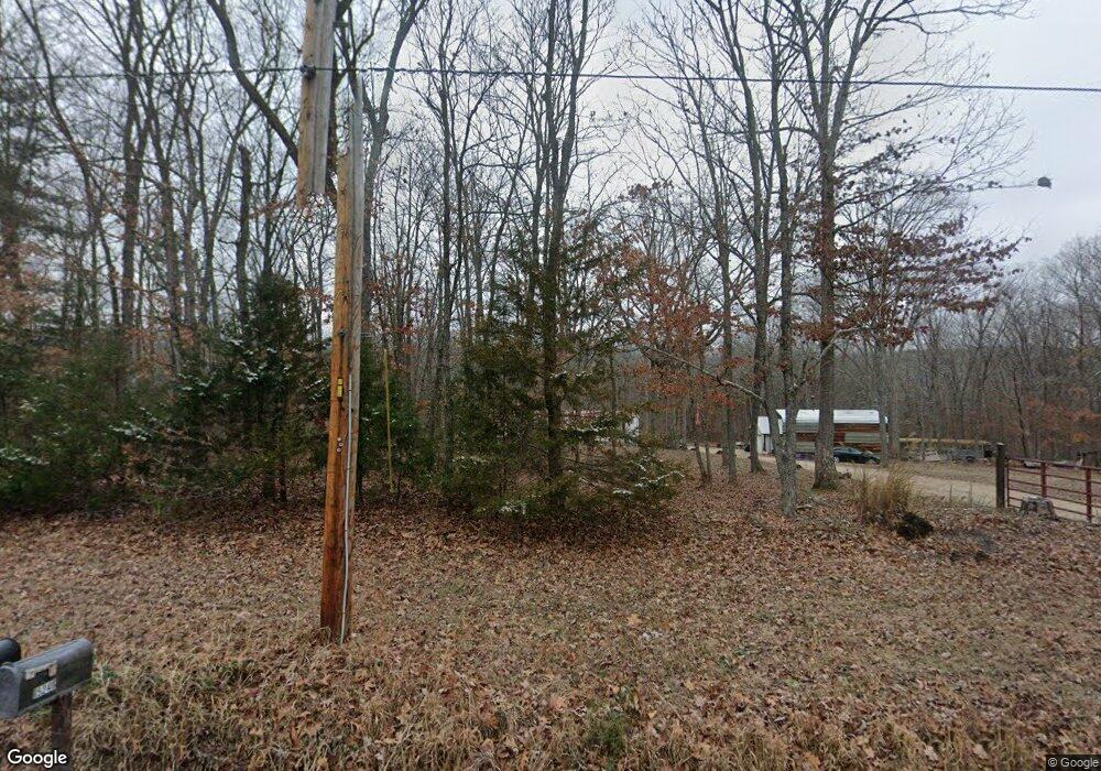
This home is located at 15246 Cannon Mines Rd, Cadet, MO 63630 and is currently estimated at $270,636, approximately $176 per square foot. 15246 Cannon Mines Rd is a home located in Washington County with nearby schools including Kingston Primary School, Kingston Elementary School, and Kingston Middle School.
Ownership History
Date
Name
Owned For
Owner Type
Purchase Details
Closed on
Apr 30, 2010
Sold by
Mahoney Kurt W
Bought by
Wisdom Michle and Whitener Allen
Current Estimated Value
Purchase Details
Closed on
Apr 16, 2009
Sold by
Wicker Holly A and Wicker Holly
Bought by
Lashley Jackie L and Lashley Sandra L
Home Financials for this Owner
Home Financials are based on the most recent Mortgage that was taken out on this home.
Original Mortgage
$171,830
Interest Rate
5.03%
Mortgage Type
FHA
Create a Home Valuation Report for This Property
The Home Valuation Report is an in-depth analysis detailing your home's value as well as a comparison with similar homes in the area
Home Values in the Area
Average Home Value in this Area
Purchase History
| Date | Buyer | Sale Price | Title Company |
|---|---|---|---|
| Wisdom Michle | -- | -- | |
| Lashley Jackie L | -- | -- |
Source: Public Records
Mortgage History
| Date | Status | Borrower | Loan Amount |
|---|---|---|---|
| Previous Owner | Lashley Jackie L | $171,830 |
Source: Public Records
Tax History Compared to Growth
Tax History
| Year | Tax Paid | Tax Assessment Tax Assessment Total Assessment is a certain percentage of the fair market value that is determined by local assessors to be the total taxable value of land and additions on the property. | Land | Improvement |
|---|---|---|---|---|
| 2024 | $801 | $14,710 | $2,140 | $12,570 |
| 2023 | $796 | $14,710 | $2,140 | $12,570 |
| 2022 | $796 | $14,710 | $2,140 | $12,570 |
| 2021 | $801 | $14,710 | $2,140 | $12,570 |
| 2020 | $804 | $14,710 | $2,140 | $12,570 |
| 2019 | $792 | $14,530 | $1,960 | $12,570 |
| 2018 | $794 | $14,530 | $0 | $0 |
| 2017 | $754 | $13,840 | $1,960 | $11,880 |
| 2016 | $743 | $13,840 | $1,960 | $11,880 |
| 2014 | -- | $13,830 | $0 | $0 |
| 2013 | -- | $13,830 | $0 | $0 |
| 2012 | -- | $13,830 | $0 | $0 |
Source: Public Records
Map
Nearby Homes
- 2 Rita Rd
- 10370 Whispering Hills Dr
- Lot 5 Parkview Dr
- Lot 4 Parkview Dr
- Lot 1 Parkview Dr
- Lot 6 Parkview Dr
- Lot 2 Parkview Dr
- Lot 3 Parkview Dr
- 7 Lakeview Meadows Lot 7
- 10740 Lakeshore Dr
- 11594 State Highway Cc
- 10686 Peppersville Rd
- 25360 N State Highway 21
- 10214 Jolly Rd
- 10021 Bugle Rd
- 10324 Vine Rd
- 6230 Big River Heights Rd
- 10590 Rivermont Rd
- 10262 Cannon Mines Rd
- 155 Lot Hill Side Rd
- 15300 Cannon Mines Rd
- 15167 Cannon Mines Rd
- 15088 Cannon Mines Rd
- 10605 Golden Pheasant Rd
- 10725 Golden Pheasant Rd
- 10278 State Hwy Cc
- 10278 State Highway Cc
- 10255 Golden Pheasant Rd
- 10323 State Highway Cc
- 10323 State Highway Cc
- 10348 Golden Pheasant Rd
- 10404 State Highway Cc
- 14796 Cannon Mines Rd
- 14859 Cannon Mines Rd
- 10264 Golden Pheasant Rd
- 10341 Fertile Ridge Rd
- 10058 Fertile Ridge Rd
- 10142 Masen Trail
- 10107 Fertile Ridge Rd
- 10130 Joanne Dr