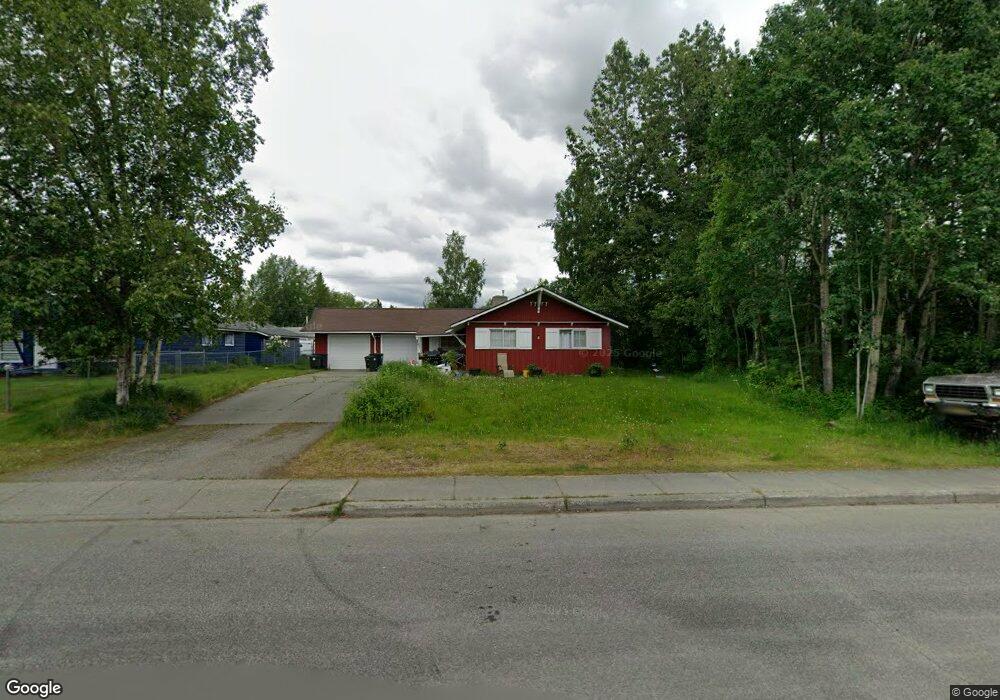
1525 Alder Dr Anchorage, AK 99508
Airport Heights NeighborhoodEstimated Value: $185,000 - $477,000
6
Beds
2
Baths
1,251
Sq Ft
$292/Sq Ft
Est. Value
About This Home
This home is located at 1525 Alder Dr, Anchorage, AK 99508 and is currently estimated at $365,606, approximately $292 per square foot. 1525 Alder Dr is a home located in Anchorage Municipality with nearby schools including Airport Heights Elementary School, Wendler Middle School, and Bettye Davis East Anchorage High School.
Ownership History
Date
Name
Owned For
Owner Type
Purchase Details
Closed on
Sep 2, 2025
Sold by
Pollard Lucie A and Pollard Allen D
Bought by
King Wayne and King Amy
Current Estimated Value
Home Financials for this Owner
Home Financials are based on the most recent Mortgage that was taken out on this home.
Original Mortgage
$333,100
Outstanding Balance
$332,524
Interest Rate
6.74%
Mortgage Type
Seller Take Back
Estimated Equity
$33,082
Purchase Details
Closed on
Mar 11, 1994
Sold by
King Lucie A and Pollard Lucie A
Bought by
Pollard Lucie A
Home Financials for this Owner
Home Financials are based on the most recent Mortgage that was taken out on this home.
Original Mortgage
$51,400
Interest Rate
7%
Mortgage Type
New Conventional
Create a Home Valuation Report for This Property
The Home Valuation Report is an in-depth analysis detailing your home's value as well as a comparison with similar homes in the area
Home Values in the Area
Average Home Value in this Area
Purchase History
| Date | Buyer | Sale Price | Title Company |
|---|---|---|---|
| King Wayne | -- | Atga (Alyeska Title Guaranty A | |
| Pollard Lucie A | -- | -- | |
| Pollard Lucie A | -- | -- | |
| Pollard Lucie A | -- | -- |
Source: Public Records
Mortgage History
| Date | Status | Borrower | Loan Amount |
|---|---|---|---|
| Open | King Wayne | $333,100 | |
| Previous Owner | Pollard Lucie A | $51,400 |
Source: Public Records
Tax History Compared to Growth
Tax History
| Year | Tax Paid | Tax Assessment Tax Assessment Total Assessment is a certain percentage of the fair market value that is determined by local assessors to be the total taxable value of land and additions on the property. | Land | Improvement |
|---|---|---|---|---|
| 2025 | $5,916 | $363,100 | $106,600 | $256,500 |
| 2024 | $5,916 | $366,400 | $106,600 | $259,800 |
| 2023 | $5,833 | $342,500 | $106,600 | $235,900 |
| 2022 | $5,608 | $333,000 | $106,600 | $226,400 |
| 2021 | $5,714 | $317,100 | $106,600 | $210,500 |
| 2020 | $5,318 | $312,800 | $106,600 | $206,200 |
| 2019 | $5,088 | $311,000 | $106,600 | $204,400 |
| 2018 | $5,100 | $311,000 | $106,600 | $204,400 |
| 2017 | $4,989 | $318,600 | $106,600 | $212,000 |
| 2016 | $3,875 | $299,600 | $89,600 | $210,000 |
| 2015 | $3,875 | $292,200 | $89,600 | $202,600 |
| 2014 | $3,875 | $299,700 | $82,500 | $217,200 |
Source: Public Records
Map
Nearby Homes
- 1414 Airport Heights Dr
- 1701 Aleutian St
- 1430 Columbine St
- 1811 Talkeetna St
- 3401 E 15th Ave
- 2215 Sunburst Cir
- 3514 E 19th Ave
- 1833 Parkside Dr
- 000 Tr A Thurston
- 1803 Parkside Dr
- 2068 Cliffside Dr Unit 11
- 2553 Lovejoy Dr
- 2124 Sorbus Way
- 3964 Reka Dr Unit D3
- 2624 Darby Cir
- 2658 Northrup Place
- 3901 E 9th Ave
- 2028 Shepherdia Dr
- 4075 E 20th Ave Unit B44
- 4011 San Roberto Ave
- 1513 Alder Dr
- 1530 Birchwood St
- 2802 E 15th Ave
- 1555 Alder Dr
- 1516 Birchwood St
- 1540 Birchwood St
- 1500 Birchwood St
- 1552 Birchwood St
- 1565 Alder Dr
- 1564 Birchwood St
- 2801 E 15th Ave
- 1581 Alder Dr
- 1555 Birchwood St
- 1436 Birchwood St
- 1529 Birchwood St
- 1517 Birchwood St
- 1539 Birchwood St
- 2900 E 15th Ave
- 2801 E 16th Ave
- 1424 Birchwood St