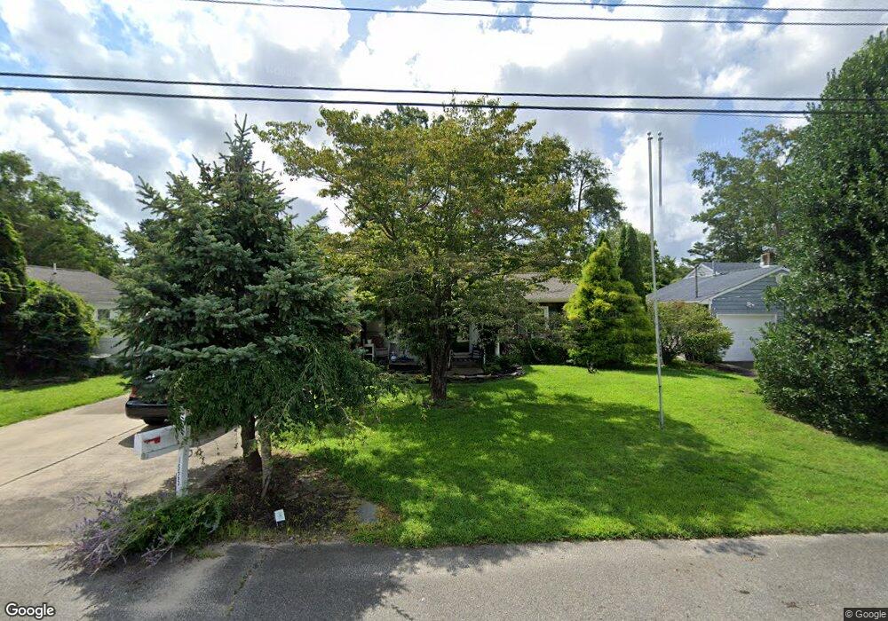
1525 Dee Rd Forked River, NJ 08731
Estimated Value: $370,282 - $403,000
2
Beds
2
Baths
1,118
Sq Ft
$352/Sq Ft
Est. Value
About This Home
This home is located at 1525 Dee Rd, Forked River, NJ 08731 and is currently estimated at $393,571, approximately $352 per square foot. 1525 Dee Rd is a home located in Ocean County with nearby schools including Lacey Township High School.
Ownership History
Date
Name
Owned For
Owner Type
Purchase Details
Closed on
Apr 23, 2004
Sold by
Stephensen Ann
Bought by
Stephensen Ronald and Stephensen Ann
Current Estimated Value
Home Financials for this Owner
Home Financials are based on the most recent Mortgage that was taken out on this home.
Original Mortgage
$77,000
Interest Rate
4.66%
Mortgage Type
Fannie Mae Freddie Mac
Purchase Details
Closed on
Dec 17, 1998
Sold by
Zelenak Jon D and Zelenak Carol A
Bought by
Stephensen Ann
Home Financials for this Owner
Home Financials are based on the most recent Mortgage that was taken out on this home.
Original Mortgage
$95,851
Interest Rate
6.8%
Mortgage Type
FHA
Create a Home Valuation Report for This Property
The Home Valuation Report is an in-depth analysis detailing your home's value as well as a comparison with similar homes in the area
Home Values in the Area
Average Home Value in this Area
Purchase History
| Date | Buyer | Sale Price | Title Company |
|---|---|---|---|
| Stephensen Ronald | -- | Commonwealth Land Title Insu | |
| Stephensen Ann | $95,900 | Independence Abstract & Titl |
Source: Public Records
Mortgage History
| Date | Status | Borrower | Loan Amount |
|---|---|---|---|
| Closed | Stephensen Ronald | $77,000 | |
| Closed | Stephensen Ann | $95,851 |
Source: Public Records
Tax History
| Year | Tax Paid | Tax Assessment Tax Assessment Total Assessment is a certain percentage of the fair market value that is determined by local assessors to be the total taxable value of land and additions on the property. | Land | Improvement |
|---|---|---|---|---|
| 2025 | $4,994 | $182,600 | $81,500 | $101,100 |
| 2024 | $4,326 | $182,600 | $81,500 | $101,100 |
| 2023 | $4,132 | $182,600 | $81,500 | $101,100 |
| 2022 | $4,132 | $182,600 | $81,500 | $101,100 |
| 2021 | $3,663 | $182,600 | $81,500 | $101,100 |
| 2020 | $3,933 | $182,600 | $81,500 | $101,100 |
| 2019 | $3,864 | $182,600 | $81,500 | $101,100 |
| 2018 | $3,818 | $182,600 | $81,500 | $101,100 |
| 2017 | $3,731 | $182,600 | $81,500 | $101,100 |
| 2016 | $3,716 | $182,600 | $81,500 | $101,100 |
| 2015 | $3,550 | $182,600 | $81,500 | $101,100 |
| 2014 | $3,440 | $200,000 | $121,500 | $78,500 |
Source: Public Records
Map
Nearby Homes
- 0000 Earie Way
- 1440 Leguene Ave
- 1326 Leguene Ave
- 1525 Argonne Ave
- 1660 Joffre Rd
- 1988 Brookdale Dr
- 0 Lakeside Dr S Unit 22601319
- 4 Kent Ct
- 240 Wainwright St
- 1223 Sylvania Place
- 321 Letts Ave
- 38 Sheffield Dr
- 576 Vaughn Ave
- 1216 Taylor Ln
- 000 Elwood St
- 1303 Cypress St
- 304 Shepard Ave
- 1972 Glen Oak Dr
- 00 Lacey Rd
- 105 Shodda St
Your Personal Tour Guide
Ask me questions while you tour the home.