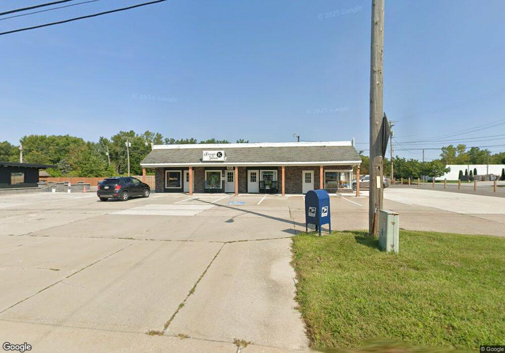
1525 Madison Ave Unit 1 or 4 Painesville, OH 44077
Estimated Value: $180,270
--
Bed
--
Bath
2,160
Sq Ft
$83/Sq Ft
Est. Value
About This Home
This home is located at 1525 Madison Ave Unit 1 or 4, Painesville, OH 44077 and is currently estimated at $180,270, approximately $83 per square foot. 1525 Madison Ave Unit 1 or 4 is a home located in Lake County with nearby schools including Henry F. Lamuth Middle School, Riverside Junior/Senior High School, and Summit Academy Community School - Painesville.
Ownership History
Date
Name
Owned For
Owner Type
Purchase Details
Closed on
Dec 1, 2021
Sold by
Grozde Inc
Bought by
1525 Madison Llc
Current Estimated Value
Home Financials for this Owner
Home Financials are based on the most recent Mortgage that was taken out on this home.
Original Mortgage
$100,000
Outstanding Balance
$91,949
Interest Rate
3.09%
Mortgage Type
Purchase Money Mortgage
Estimated Equity
$88,321
Purchase Details
Closed on
Sep 24, 2015
Sold by
King Ruth E
Bought by
Grozde Inc
Home Financials for this Owner
Home Financials are based on the most recent Mortgage that was taken out on this home.
Original Mortgage
$105,000
Interest Rate
3.91%
Mortgage Type
Future Advance Clause Open End Mortgage
Purchase Details
Closed on
Jun 18, 1991
Bought by
King Ruth E
Create a Home Valuation Report for This Property
The Home Valuation Report is an in-depth analysis detailing your home's value as well as a comparison with similar homes in the area
Home Values in the Area
Average Home Value in this Area
Purchase History
| Date | Buyer | Sale Price | Title Company |
|---|---|---|---|
| 1525 Madison Llc | $140,000 | None Available | |
| Grozde Inc | $135,000 | Chicago Title | |
| King Ruth E | -- | -- |
Source: Public Records
Mortgage History
| Date | Status | Borrower | Loan Amount |
|---|---|---|---|
| Open | 1525 Madison Llc | $100,000 | |
| Previous Owner | Grozde Inc | $105,000 |
Source: Public Records
Tax History Compared to Growth
Tax History
| Year | Tax Paid | Tax Assessment Tax Assessment Total Assessment is a certain percentage of the fair market value that is determined by local assessors to be the total taxable value of land and additions on the property. | Land | Improvement |
|---|---|---|---|---|
| 2024 | -- | $54,400 | $14,560 | $39,840 |
| 2023 | $3,835 | $40,100 | $16,540 | $23,560 |
| 2022 | $3,321 | $40,100 | $16,540 | $23,560 |
| 2021 | $3,404 | $41,670 | $18,110 | $23,560 |
| 2020 | $3,429 | $41,670 | $18,110 | $23,560 |
| 2019 | $3,471 | $41,670 | $18,110 | $23,560 |
| 2018 | $3,499 | $47,250 | $18,110 | $29,140 |
| 2017 | $3,957 | $47,250 | $18,110 | $29,140 |
| 2016 | $3,581 | $47,250 | $18,110 | $29,140 |
| 2015 | $1,973 | $29,080 | $18,110 | $10,970 |
| 2014 | $1,993 | $29,080 | $18,110 | $10,970 |
| 2013 | $1,957 | $29,080 | $18,110 | $10,970 |
Source: Public Records
Map
Nearby Homes
- 54 Park Rd
- 65 Tanners Farm Dr
- 1627 Cottontail Ct Unit 9
- 67 Tanners Farm Dr
- 302 Maplebrook Dr Unit 302
- 5406 Pebble Creek Ln
- 5418 Pebble Creek Ln
- 30 Orton Rd
- 43 Bristol Ave
- 238 Radley Dr
- 1182 Dalton Dr
- 1172 Dalton Dr
- 1160 Riverside Dr
- 396 Park Rd
- 321 Manhattan Pkwy
- V/L Morgan Dr
- 55 Grove Ave
- 1242 Heatherstone Dr
- 500 Park Rd
- 525 Morgan Dr