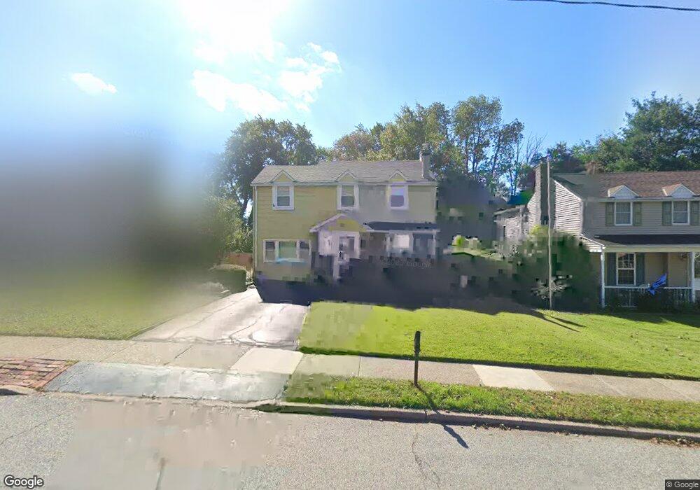
1525 Norman Rd Havertown, PA 19083
Estimated Value: $416,000 - $507,000
3
Beds
2
Baths
1,780
Sq Ft
$270/Sq Ft
Est. Value
About This Home
This home is located at 1525 Norman Rd, Havertown, PA 19083 and is currently estimated at $480,903, approximately $270 per square foot. 1525 Norman Rd is a home located in Delaware County with nearby schools including Manoa Elementary School, Haverford Middle School, and Haverford Senior High School.
Ownership History
Date
Name
Owned For
Owner Type
Purchase Details
Closed on
Aug 15, 2003
Sold by
Moffa Joan M
Bought by
Simpson Michael J and Simpson Maureen P
Current Estimated Value
Home Financials for this Owner
Home Financials are based on the most recent Mortgage that was taken out on this home.
Original Mortgage
$221,350
Outstanding Balance
$96,763
Interest Rate
5.52%
Mortgage Type
Purchase Money Mortgage
Estimated Equity
$384,140
Purchase Details
Closed on
Feb 22, 2002
Sold by
Moffa John J and Moffa Joan M
Bought by
Moffa Joan M
Home Financials for this Owner
Home Financials are based on the most recent Mortgage that was taken out on this home.
Original Mortgage
$120,000
Interest Rate
6.62%
Create a Home Valuation Report for This Property
The Home Valuation Report is an in-depth analysis detailing your home's value as well as a comparison with similar homes in the area
Home Values in the Area
Average Home Value in this Area
Purchase History
| Date | Buyer | Sale Price | Title Company |
|---|---|---|---|
| Simpson Michael J | $233,000 | Commonwealth Title | |
| Moffa Joan M | -- | Lawyers Title Insurance Corp |
Source: Public Records
Mortgage History
| Date | Status | Borrower | Loan Amount |
|---|---|---|---|
| Open | Simpson Michael J | $221,350 | |
| Previous Owner | Moffa Joan M | $120,000 |
Source: Public Records
Tax History Compared to Growth
Tax History
| Year | Tax Paid | Tax Assessment Tax Assessment Total Assessment is a certain percentage of the fair market value that is determined by local assessors to be the total taxable value of land and additions on the property. | Land | Improvement |
|---|---|---|---|---|
| 2025 | $7,405 | $288,010 | $101,700 | $186,310 |
| 2024 | $7,405 | $288,010 | $101,700 | $186,310 |
| 2023 | $7,195 | $288,010 | $101,700 | $186,310 |
| 2022 | $7,027 | $288,010 | $101,700 | $186,310 |
| 2021 | $11,448 | $288,010 | $101,700 | $186,310 |
| 2020 | $5,632 | $121,170 | $53,120 | $68,050 |
| 2019 | $5,528 | $121,170 | $53,120 | $68,050 |
| 2018 | $5,433 | $121,170 | $0 | $0 |
| 2017 | $5,318 | $121,170 | $0 | $0 |
| 2016 | $665 | $121,170 | $0 | $0 |
| 2015 | $679 | $121,170 | $0 | $0 |
| 2014 | $665 | $121,170 | $0 | $0 |
Source: Public Records
Map
Nearby Homes
- 505 Glendale Rd
- 181 Friendship Rd
- 104 Treaty Rd
- 2223 Steele Rd
- 333 Sussex Blvd
- 5042 Sylvia Rd
- 736 Timber Trail Ln
- 635 Grand Ave
- 42 Colonial Dr
- 5233 Arrowhead Ln
- 601 S Eagle Rd
- 631 S Central Blvd
- 220 Glendale Rd
- 1042 Blythe Ave
- 429 Portland Dr
- 1223 Drexel Ave
- 516 Portland Dr
- 921 Addingham Ave
- 162 S Eagle Rd
- 1013 Bon Air Rd
- 1529 Norman Rd
- 1521 Norman Rd
- 1533 Norman Rd
- 1517 Norman Rd
- 1548 Burmont Rd
- 1505 Steel Rd
- 1564 Burmont Rd
- 1501 Steel Rd
- 1522 Norman Rd
- 1509 Steel Rd
- 1518 Norman Rd
- 1572 Burmont Rd
- 1514 Norman Rd
- 169 Friendship Rd
- 1513 Steel Rd
- 1532 Burmont Rd
- 1457 Steel Rd
- 1540 Burmont Rd
- 1517 Steel Rd
- 1580 Burmont Rd