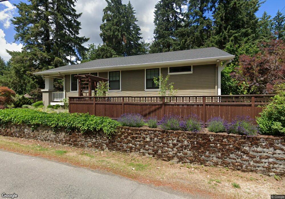
1525 SW Maplecrest Dr Portland, OR 97219
Marshall Park NeighborhoodEstimated Value: $812,000 - $955,000
3
Beds
2
Baths
2,040
Sq Ft
$447/Sq Ft
Est. Value
About This Home
This home is located at 1525 SW Maplecrest Dr, Portland, OR 97219 and is currently estimated at $911,469, approximately $446 per square foot. 1525 SW Maplecrest Dr is a home located in Multnomah County with nearby schools including Stephenson Elementary School, Jackson Middle School, and Ida B. Wells-Barnett High School.
Ownership History
Date
Name
Owned For
Owner Type
Purchase Details
Closed on
Jul 12, 2011
Sold by
Bleything Diane
Bought by
Kent Adam and Holmgreen Lisa
Current Estimated Value
Home Financials for this Owner
Home Financials are based on the most recent Mortgage that was taken out on this home.
Original Mortgage
$268,000
Outstanding Balance
$183,622
Interest Rate
4.5%
Mortgage Type
New Conventional
Estimated Equity
$727,847
Purchase Details
Closed on
Jul 18, 2007
Sold by
Bleything Diane Louise
Bought by
Bleything Diane
Home Financials for this Owner
Home Financials are based on the most recent Mortgage that was taken out on this home.
Original Mortgage
$175,000
Interest Rate
6.51%
Mortgage Type
Stand Alone Refi Refinance Of Original Loan
Create a Home Valuation Report for This Property
The Home Valuation Report is an in-depth analysis detailing your home's value as well as a comparison with similar homes in the area
Home Values in the Area
Average Home Value in this Area
Purchase History
| Date | Buyer | Sale Price | Title Company |
|---|---|---|---|
| Kent Adam | $335,000 | Ticor Title | |
| Bleything Diane | -- | Ticor Title Insurance Compan |
Source: Public Records
Mortgage History
| Date | Status | Borrower | Loan Amount |
|---|---|---|---|
| Open | Kent Adam | $268,000 | |
| Previous Owner | Bleything Diane | $175,000 |
Source: Public Records
Tax History Compared to Growth
Tax History
| Year | Tax Paid | Tax Assessment Tax Assessment Total Assessment is a certain percentage of the fair market value that is determined by local assessors to be the total taxable value of land and additions on the property. | Land | Improvement |
|---|---|---|---|---|
| 2025 | $10,899 | $404,850 | -- | -- |
| 2024 | $10,507 | $393,060 | -- | -- |
| 2023 | $10,103 | $381,620 | $0 | $0 |
| 2022 | $9,884 | $370,510 | $0 | $0 |
| 2021 | $9,717 | $359,720 | $0 | $0 |
| 2020 | $8,914 | $349,250 | $0 | $0 |
| 2019 | $8,586 | $339,080 | $0 | $0 |
| 2018 | $8,333 | $329,210 | $0 | $0 |
| 2017 | $7,987 | $258,750 | $0 | $0 |
| 2016 | $5,917 | $251,220 | $0 | $0 |
| 2015 | $5,762 | $243,910 | $0 | $0 |
| 2014 | $5,483 | $236,810 | $0 | $0 |
Source: Public Records
Map
Nearby Homes
- 1845 SW Taylors Ferry Rd
- 9855 SW 25th Ave
- 9375 SW 8th Ave
- 0 SW Taylors Ferry Ct Unit 171663449
- 9341 SW 8th Ave
- 0 SW Lancaster Rd Unit 722439051
- 0 SW Lancaster Rd Unit 540028719
- 1345 SW Taylors Ferry Ct
- 2249 SW Taylors Ferry Rd
- 10850 SW Creightonwood Place
- 9224 SW 26th Ave
- 9320 SW Boones Ferry Rd
- 8921 SW 7th Ave
- 1035 SW Palatine St
- 1515 SW Carson St
- 2731 SW 28th Dr
- 1323 SW Carson St
- 2531 SW Spring Garden St
- 9818 SW 34th Place
- 9822 SW 34th Place
- 1495 SW Maplecrest Dr
- 9840 SW 18th Place
- 1492 SW Maplecrest Dr
- 1485 SW Maplecrest Dr
- 1528 SW Maplecrest Dr
- 9820 SW 18th Place
- 1479 SW Maplecrest Dr
- 1540 SW Maplecrest Dr
- 9845 SW 18th Place
- 1470 SW Maplecrest Dr
- 9732 SW 18th Place
- 1600 SW Maplecrest Dr
- 1471 SW Maplecrest Dr
- 1541 SW Maplecrest Dr
- 9720 SW 18th Place
- 1803 SW Broadleaf Dr
- 1444 SW Maplecrest Dr
- 1465 SW Maplecrest Dr
- 1610 SW Maplecrest Dr
- 1616 SW Maplecrest Dr